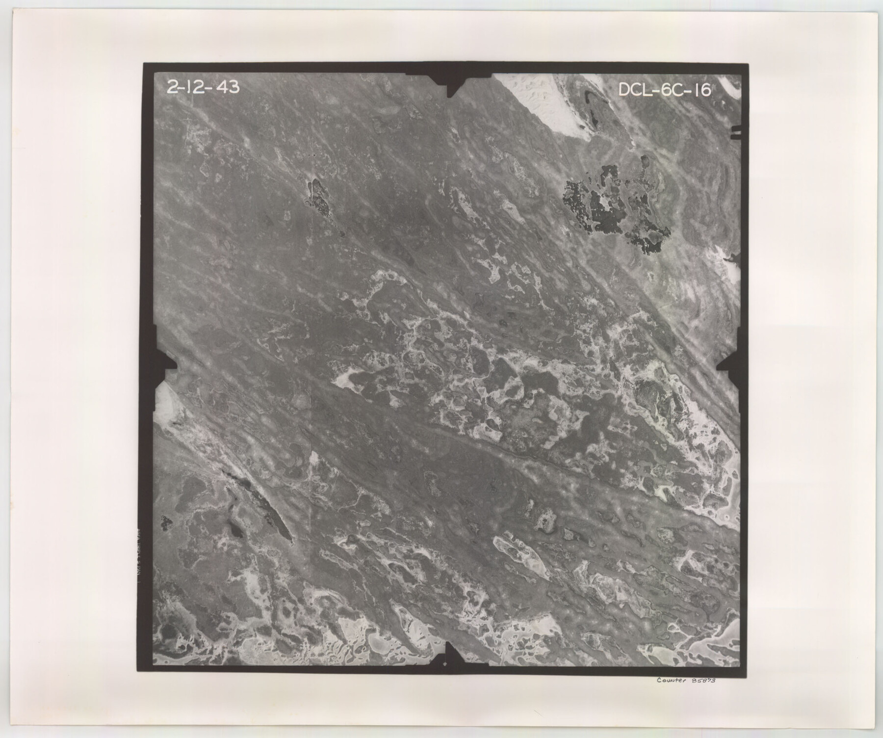
Flight Mission No. DCL-6C, Frame 16, Kenedy County
DCL-6C-16
-
Map/Doc
85873
-
Collection
General Map Collection
-
Object Dates
1943/2/12 (Creation Date)
-
People and Organizations
U. S. Department of Agriculture (Publisher)
-
Counties
Kenedy
-
Subjects
Aerial Photograph
-
Height x Width
18.7 x 22.3 inches
47.5 x 56.6 cm
-
Comments
Flown by Aerial Surveys of Pittsburgh, Inc. of Pittsburgh, Pennsylvania.
Part of: General Map Collection
Flight Mission No. DQN-1K, Frame 81, Calhoun County

Print $20.00
- Digital $50.00
Flight Mission No. DQN-1K, Frame 81, Calhoun County
1953
Size 18.4 x 22.1 inches
Map/Doc 84166
Tyler County Working Sketch 13

Print $20.00
- Digital $50.00
Tyler County Working Sketch 13
1957
Size 34.5 x 38.5 inches
Map/Doc 69483
[Sketch for Mineral Application 27670 - Strip between Simon Sanchez leagues and Trinity River]
![2866, [Sketch for Mineral Application 27670 - Strip between Simon Sanchez leagues and Trinity River], General Map Collection](https://historictexasmaps.com/wmedia_w700/maps/2866-1.tif.jpg)
Print $20.00
- Digital $50.00
[Sketch for Mineral Application 27670 - Strip between Simon Sanchez leagues and Trinity River]
1934
Size 17.3 x 36.7 inches
Map/Doc 2866
Cherokee County Sketch File 1

Print $6.00
- Digital $50.00
Cherokee County Sketch File 1
1857
Size 10.6 x 8.0 inches
Map/Doc 18109
Hudspeth County Working Sketch 48

Print $20.00
- Digital $50.00
Hudspeth County Working Sketch 48
1984
Size 36.6 x 46.3 inches
Map/Doc 66333
Gaines County Working Sketch 21

Print $20.00
- Digital $50.00
Gaines County Working Sketch 21
1970
Size 37.8 x 45.4 inches
Map/Doc 69321
Map of Eastland Co.

Print $20.00
- Digital $50.00
Map of Eastland Co.
1896
Size 43.2 x 43.1 inches
Map/Doc 78410
Flight Mission No. DCL-7C, Frame 138, Kenedy County

Print $20.00
- Digital $50.00
Flight Mission No. DCL-7C, Frame 138, Kenedy County
1943
Size 18.6 x 22.3 inches
Map/Doc 86095
Hutchinson County Working Sketch 17

Print $20.00
- Digital $50.00
Hutchinson County Working Sketch 17
Size 45.8 x 44.2 inches
Map/Doc 66376
Padre Island National Seashore

Print $4.00
- Digital $50.00
Padre Island National Seashore
Size 16.1 x 22.4 inches
Map/Doc 60541
Intrenched depot of the army of occupation at Point Isabel, Texas

Print $20.00
- Digital $50.00
Intrenched depot of the army of occupation at Point Isabel, Texas
1846
Size 17.0 x 25.2 inches
Map/Doc 72922

You may also like
Flight Mission No. DCL-4C, Frame 120, Kenedy County

Print $20.00
- Digital $50.00
Flight Mission No. DCL-4C, Frame 120, Kenedy County
1943
Size 18.6 x 22.5 inches
Map/Doc 85819
[I. & G. N. Block 1, Secs. 65-75]
![90305, [I. & G. N. Block 1, Secs. 65-75], Twichell Survey Records](https://historictexasmaps.com/wmedia_w700/maps/90305-1.tif.jpg)
Print $20.00
- Digital $50.00
[I. & G. N. Block 1, Secs. 65-75]
1928
Size 24.6 x 21.5 inches
Map/Doc 90305

Flight Mission No. CLL-3N, Frame 33, Willacy County

Print $20.00
- Digital $50.00
Flight Mission No. CLL-3N, Frame 33, Willacy County
1954
Size 18.6 x 22.3 inches
Map/Doc 87090
Flight Mission No. DCL-7C, Frame 31, Kenedy County

Print $20.00
- Digital $50.00
Flight Mission No. DCL-7C, Frame 31, Kenedy County
1943
Size 15.4 x 15.2 inches
Map/Doc 86023
West Part Presidio Co.

Print $20.00
- Digital $50.00
West Part Presidio Co.
1974
Size 42.1 x 33.3 inches
Map/Doc 73267
Lipscomb County Working Sketch 5

Print $20.00
- Digital $50.00
Lipscomb County Working Sketch 5
1977
Size 26.8 x 30.0 inches
Map/Doc 70581
El Paso County Working Sketch 5

Print $20.00
- Digital $50.00
El Paso County Working Sketch 5
1916
Size 21.5 x 37.2 inches
Map/Doc 69027
Edwards County Boundary File 27c

Print $29.00
- Digital $50.00
Edwards County Boundary File 27c
Size 12.8 x 8.1 inches
Map/Doc 52896
Flight Mission No. DCL-6C, Frame 173, Kenedy County

Print $20.00
- Digital $50.00
Flight Mission No. DCL-6C, Frame 173, Kenedy County
1943
Size 18.6 x 22.4 inches
Map/Doc 85985
Liberty County Working Sketch 22

Print $20.00
- Digital $50.00
Liberty County Working Sketch 22
1941
Size 19.6 x 26.1 inches
Map/Doc 70481
Pecos County Sketch File 105

Print $4.00
- Digital $50.00
Pecos County Sketch File 105
1965
Size 14.3 x 8.8 inches
Map/Doc 34028