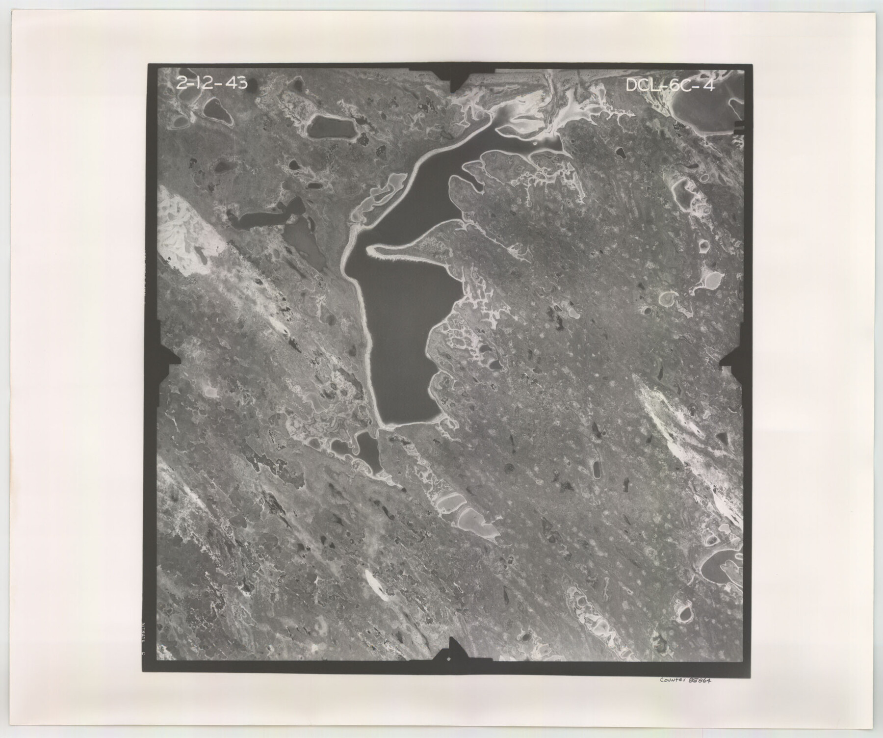
Flight Mission No. DCL-6C, Frame 4, Kenedy County
DCL-6C-4
-
Map/Doc
85864
-
Collection
General Map Collection
-
Object Dates
1943/2/12 (Creation Date)
-
People and Organizations
U. S. Department of Agriculture (Publisher)
-
Counties
Kenedy
-
Subjects
Aerial Photograph
-
Height x Width
18.7 x 22.3 inches
47.5 x 56.6 cm
-
Comments
Flown by Aerial Surveys of Pittsburgh, Inc. of Pittsburgh, Pennsylvania.
Part of: General Map Collection
Taylor County Rolled Sketch 29

Print $20.00
- Digital $50.00
Taylor County Rolled Sketch 29
Size 20.2 x 24.2 inches
Map/Doc 7922
A Topographical Map of the Government Tract Adjoining the City of Austin

Print $20.00
- Digital $50.00
A Topographical Map of the Government Tract Adjoining the City of Austin
1840
Size 41.8 x 37.5 inches
Map/Doc 4833
Map of Gregg County

Print $20.00
- Digital $50.00
Map of Gregg County
1874
Size 14.0 x 13.9 inches
Map/Doc 3604
Runnels County Working Sketch Graphic Index

Print $20.00
- Digital $50.00
Runnels County Working Sketch Graphic Index
1948
Size 46.8 x 36.9 inches
Map/Doc 76687
The Military History of Texas Map!

The Military History of Texas Map!
1996
Size 24.2 x 35.1 inches
Map/Doc 96827
Freestone County Working Sketch 1

Print $20.00
- Digital $50.00
Freestone County Working Sketch 1
1913
Size 20.2 x 27.2 inches
Map/Doc 69243
Reagan County Sketch File 2A

Print $6.00
- Digital $50.00
Reagan County Sketch File 2A
1882
Size 9.1 x 17.6 inches
Map/Doc 12211
Reeves County Boundary File 73a

Print $16.00
- Digital $50.00
Reeves County Boundary File 73a
Size 13.3 x 8.2 inches
Map/Doc 58208
Laguna Madre, Register No. 1477A

Print $40.00
- Digital $50.00
Laguna Madre, Register No. 1477A
1880
Size 34.3 x 56.0 inches
Map/Doc 73606
Smith County Rolled Sketch 6E1

Print $20.00
- Digital $50.00
Smith County Rolled Sketch 6E1
1966
Size 27.4 x 22.7 inches
Map/Doc 10612
PSL Field Notes for Blocks 77 through 86 in Culberson County and Blocks 73 through 76 in Hudspeth County

PSL Field Notes for Blocks 77 through 86 in Culberson County and Blocks 73 through 76 in Hudspeth County
Map/Doc 81663
Orange County Sketch File 32

Print $6.00
- Digital $50.00
Orange County Sketch File 32
1926
Size 14.3 x 8.7 inches
Map/Doc 33360
You may also like
Bivin's Addition to Amarillo, Texas, Survey 187, Block 2, A. B. & M., Potter County

Print $20.00
- Digital $50.00
Bivin's Addition to Amarillo, Texas, Survey 187, Block 2, A. B. & M., Potter County
Size 20.1 x 23.0 inches
Map/Doc 91739

Sulphur River, Ringo Crossing Sheet

Print $20.00
- Digital $50.00
Sulphur River, Ringo Crossing Sheet
1933
Size 30.5 x 35.9 inches
Map/Doc 65162
Colorado County Sketch File 8

Print $4.00
- Digital $50.00
Colorado County Sketch File 8
1861
Size 12.4 x 8.5 inches
Map/Doc 18927
Runnels County Sketch File 19 and 22

Print $48.00
Runnels County Sketch File 19 and 22
1887
Size 14.0 x 21.2 inches
Map/Doc 12254
Hudspeth County Rolled Sketch 57

Print $20.00
- Digital $50.00
Hudspeth County Rolled Sketch 57
Size 38.3 x 46.0 inches
Map/Doc 9223
The Republic County of Galveston. January 20, 1841

Print $20.00
The Republic County of Galveston. January 20, 1841
2020
Size 14.7 x 21.9 inches
Map/Doc 96145
Lavaca County Rolled Sketch 2

Print $20.00
- Digital $50.00
Lavaca County Rolled Sketch 2
1951
Size 37.0 x 26.7 inches
Map/Doc 6592
Crockett County Sketch File 73

Print $6.00
- Digital $50.00
Crockett County Sketch File 73
1933
Size 11.2 x 8.7 inches
Map/Doc 19869
Aransas County Sketch File 36

Print $288.00
- Digital $50.00
Aransas County Sketch File 36
Size 8.5 x 10.9 inches
Map/Doc 13360
Briscoe County Sketch File 14a

Print $6.00
- Digital $50.00
Briscoe County Sketch File 14a
Size 14.3 x 8.6 inches
Map/Doc 16519
Fort Bend County

Print $20.00
- Digital $50.00
Fort Bend County
1873
Size 18.0 x 21.4 inches
Map/Doc 3555