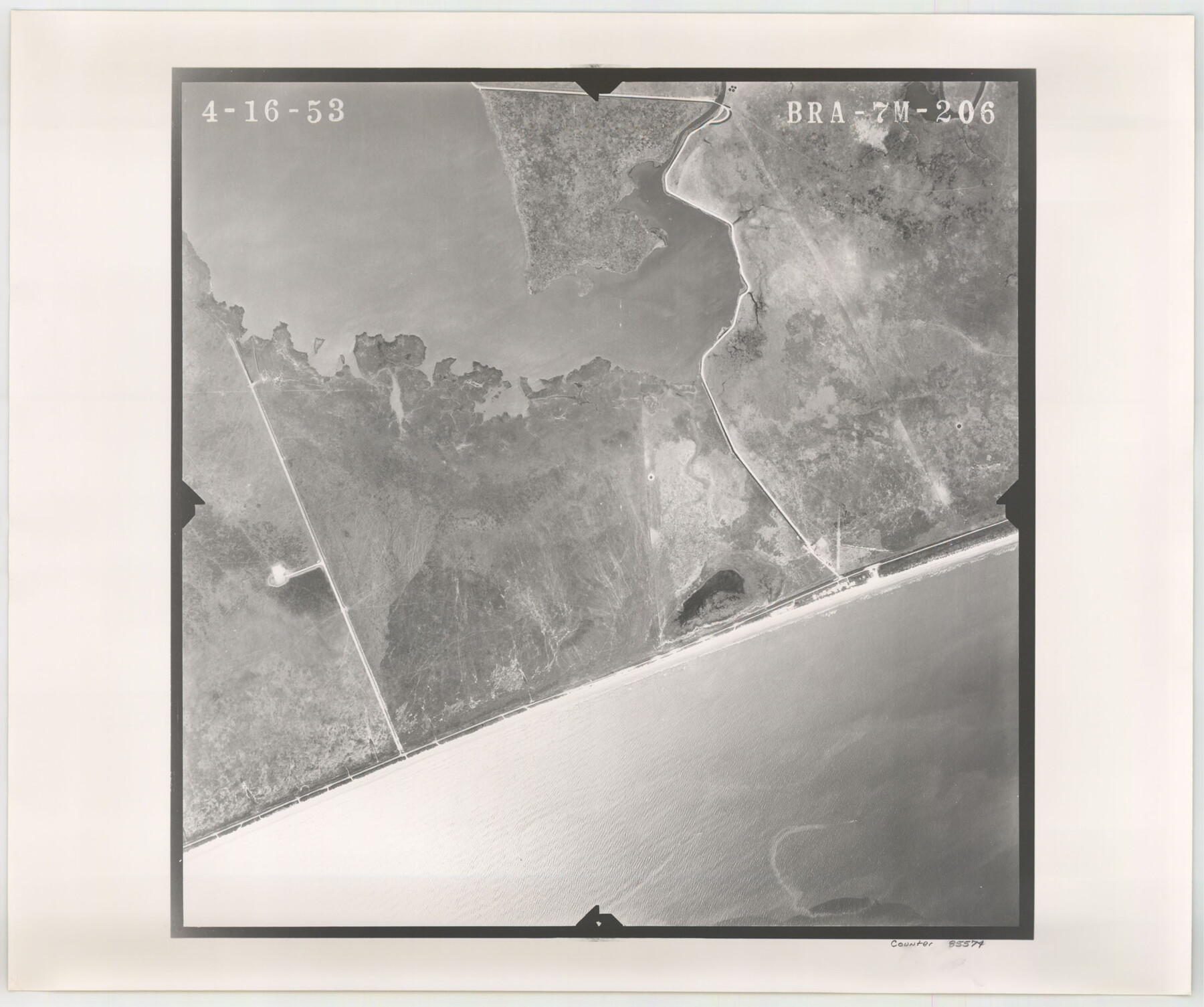
Flight Mission No. BRA-7M, Frame 206, Jefferson County
BRA-7M-206
-
Map/Doc
85574
-
Collection
General Map Collection
-
Object Dates
1953/4/16 (Creation Date)
-
People and Organizations
U. S. Department of Agriculture (Publisher)
-
Counties
Jefferson
-
Subjects
Aerial Photograph
-
Height x Width
18.6 x 22.2 inches
47.2 x 56.4 cm
-
Comments
Flown by Jack Ammann Photogrammetric Engineers of San Antonio, Texas.
Part of: General Map Collection
Presidio County Rolled Sketch 21

Print $20.00
- Digital $50.00
Presidio County Rolled Sketch 21
1885
Size 35.5 x 42.8 inches
Map/Doc 9764
Howard County Sketch File 6

Print $44.00
- Digital $50.00
Howard County Sketch File 6
1929
Size 18.6 x 14.4 inches
Map/Doc 26861
Mills County Rolled Sketch 3

Print $20.00
- Digital $50.00
Mills County Rolled Sketch 3
1998
Size 26.4 x 37.9 inches
Map/Doc 6781
Blanco County Working Sketch 4

Print $20.00
- Digital $50.00
Blanco County Working Sketch 4
1885
Size 20.1 x 19.4 inches
Map/Doc 67363
Cottle County Working Sketch 4

Print $20.00
- Digital $50.00
Cottle County Working Sketch 4
1916
Size 34.3 x 31.4 inches
Map/Doc 68314
Map of The Surveyed Part of Peters Colony Texas

Print $40.00
- Digital $50.00
Map of The Surveyed Part of Peters Colony Texas
1852
Size 56.5 x 41.0 inches
Map/Doc 1966
Pecos County Working Sketch 101

Print $20.00
- Digital $50.00
Pecos County Working Sketch 101
1970
Size 43.3 x 31.1 inches
Map/Doc 71574
Jim Wells County Sketch File 2

Print $6.00
- Digital $50.00
Jim Wells County Sketch File 2
1931
Size 11.1 x 8.7 inches
Map/Doc 28424
Leon County Working Sketch 30

Print $20.00
- Digital $50.00
Leon County Working Sketch 30
1972
Size 33.1 x 45.1 inches
Map/Doc 70429
Gregg County Sketch File 1B

Print $4.00
- Digital $50.00
Gregg County Sketch File 1B
1848
Size 12.8 x 8.4 inches
Map/Doc 24538
Duval County Rolled Sketch 37

Print $20.00
- Digital $50.00
Duval County Rolled Sketch 37
1952
Size 29.2 x 24.6 inches
Map/Doc 5753
Cameron County Rolled Sketch 20D

Print $20.00
- Digital $50.00
Cameron County Rolled Sketch 20D
Size 13.7 x 12.1 inches
Map/Doc 5476
You may also like
Index to Burnet's, [Vehlein's] & Zavala's Colonies
![94553, Index to Burnet's, [Vehlein's] & Zavala's Colonies, Historical Volumes](https://historictexasmaps.com/wmedia_w700/pdf_converted_jpg/qi_pdf_thumbnail_39142.jpg)
Index to Burnet's, [Vehlein's] & Zavala's Colonies
Map/Doc 94553
Fort Bend Co.

Print $20.00
- Digital $50.00
Fort Bend Co.
1931
Size 40.2 x 41.8 inches
Map/Doc 95500
Right of Way and Track Map Texas & New Orleans R.R. Co. operated by the T. & N. O. R.R. Co. Dallas-Sabine Branch

Print $40.00
- Digital $50.00
Right of Way and Track Map Texas & New Orleans R.R. Co. operated by the T. & N. O. R.R. Co. Dallas-Sabine Branch
1918
Size 26.4 x 56.7 inches
Map/Doc 64154
Freestone County Working Sketch 15

Print $40.00
- Digital $50.00
Freestone County Working Sketch 15
1980
Size 56.5 x 33.7 inches
Map/Doc 69257
The Republic County of San Augustine. Boundaries Defined, December 14, 1837

Print $20.00
The Republic County of San Augustine. Boundaries Defined, December 14, 1837
2020
Size 18.8 x 21.7 inches
Map/Doc 96271
Clay County Rolled Sketch 1

Print $20.00
- Digital $50.00
Clay County Rolled Sketch 1
1940
Size 47.0 x 37.9 inches
Map/Doc 8621
Kinney County Working Sketch 17

Print $20.00
- Digital $50.00
Kinney County Working Sketch 17
1947
Size 29.4 x 38.7 inches
Map/Doc 70199
Walker County

Print $20.00
- Digital $50.00
Walker County
1944
Size 40.4 x 34.4 inches
Map/Doc 77448
Flight Mission No. BRA-9M, Frame 59, Jefferson County

Print $20.00
- Digital $50.00
Flight Mission No. BRA-9M, Frame 59, Jefferson County
1953
Size 18.6 x 22.4 inches
Map/Doc 85642


Coke County Boundary File Index

Print $2.00
- Digital $50.00
Coke County Boundary File Index
Size 8.9 x 14.2 inches
Map/Doc 65461