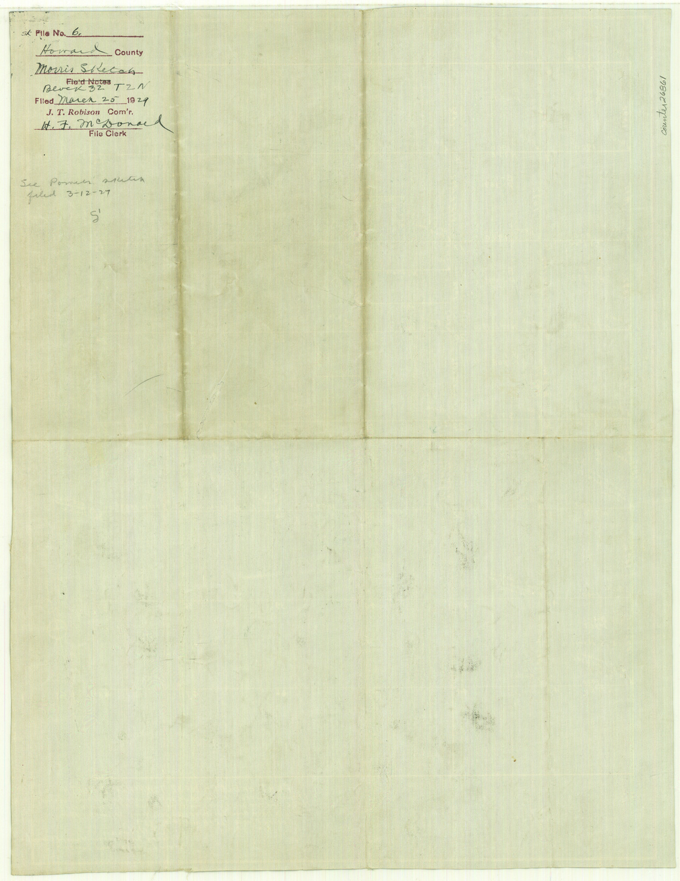
Howard County Sketch File 6
Plat of Block 32, Township 2 North
-
Map/Doc
26861
-
Collection
General Map Collection
-
Object Dates
3/20/1929 (Creation Date)
3/25/1929 (File Date)
3/14/1929 (Survey Date)
3/20/1929 (Correspondence Date)
-
People and Organizations
R.E. Morris (Surveyor/Engineer)
-
Counties
Howard
-
Subjects
Surveying Sketch File
-
Height x Width
18.6 x 14.4 inches
47.2 x 36.6 cm
-
Medium
multi-page, multi-format
-
Features
Gail Road
Part of: General Map Collection
La Salle County Sketch File 17 and 17 1/2

Print $94.00
- Digital $50.00
La Salle County Sketch File 17 and 17 1/2
Size 8.8 x 8.1 inches
Map/Doc 29489
Wilbarger County Working Sketch 18

Print $20.00
- Digital $50.00
Wilbarger County Working Sketch 18
1965
Size 42.0 x 46.6 inches
Map/Doc 72556
Colorado River, Bay City to Matagorda Sheet 2

Print $40.00
- Digital $50.00
Colorado River, Bay City to Matagorda Sheet 2
1924
Size 86.2 x 32.8 inches
Map/Doc 65260
Nueces County Rolled Sketch 77

Print $55.00
Nueces County Rolled Sketch 77
1982
Size 24.6 x 36.3 inches
Map/Doc 6938
Coke County Working Sketch 27

Print $20.00
- Digital $50.00
Coke County Working Sketch 27
1962
Size 17.4 x 27.7 inches
Map/Doc 68064
Hamilton County Sketch File 6

Print $6.00
- Digital $50.00
Hamilton County Sketch File 6
Size 15.7 x 10.6 inches
Map/Doc 24910
Flight Mission No. DCL-5C, Frame 30, Kenedy County

Print $20.00
- Digital $50.00
Flight Mission No. DCL-5C, Frame 30, Kenedy County
1943
Size 18.6 x 22.3 inches
Map/Doc 85842
[Map of Nacogdoches County]
![93368, [Map of Nacogdoches County], General Map Collection](https://historictexasmaps.com/wmedia_w700/maps/93368-1.tif.jpg)
Print $40.00
- Digital $50.00
[Map of Nacogdoches County]
1840
Size 79.3 x 38.0 inches
Map/Doc 93368
Map of Bell County

Print $40.00
- Digital $50.00
Map of Bell County
1896
Size 48.1 x 54.4 inches
Map/Doc 82066
Webb County Working Sketch 44

Print $20.00
- Digital $50.00
Webb County Working Sketch 44
1943
Size 26.0 x 27.4 inches
Map/Doc 72409
Wichita County Boundary File 4

Print $20.00
- Digital $50.00
Wichita County Boundary File 4
Size 12.4 x 38.3 inches
Map/Doc 59914
Bastrop County Working Sketch 13

Print $20.00
- Digital $50.00
Bastrop County Working Sketch 13
1979
Size 23.6 x 30.0 inches
Map/Doc 67313
You may also like
Flight Mission No. CRC-3R, Frame 201, Chambers County

Print $20.00
- Digital $50.00
Flight Mission No. CRC-3R, Frame 201, Chambers County
1956
Size 18.6 x 22.4 inches
Map/Doc 84856
Stremme General Land Office Drawings, front view

Print $20.00
Stremme General Land Office Drawings, front view
Size 14.0 x 20.8 inches
Map/Doc 79738
Energy Map of Texas

Print $20.00
- Digital $50.00
Energy Map of Texas
2020
Size 36.0 x 36.0 inches
Map/Doc 96436
Calhoun County Rolled Sketch 6

Print $20.00
- Digital $50.00
Calhoun County Rolled Sketch 6
Size 24.0 x 22.5 inches
Map/Doc 5362
Reagan County Sketch File 16

Print $8.00
- Digital $50.00
Reagan County Sketch File 16
1932
Size 11.1 x 7.7 inches
Map/Doc 35002
King County Working Sketch 15

Print $40.00
- Digital $50.00
King County Working Sketch 15
1979
Size 41.6 x 60.4 inches
Map/Doc 70179
Map of Falls County

Print $20.00
- Digital $50.00
Map of Falls County
1874
Size 20.3 x 21.5 inches
Map/Doc 3528
Kinney County Working Sketch 44

Print $20.00
- Digital $50.00
Kinney County Working Sketch 44
1978
Size 36.7 x 25.8 inches
Map/Doc 70226
Loving County

Print $20.00
- Digital $50.00
Loving County
1932
Size 35.0 x 45.6 inches
Map/Doc 73225
Presidio County Working Sketch 34

Print $20.00
- Digital $50.00
Presidio County Working Sketch 34
1947
Size 41.7 x 37.6 inches
Map/Doc 71711
Childress County

Print $20.00
- Digital $50.00
Childress County
1892
Size 24.7 x 19.6 inches
Map/Doc 3391