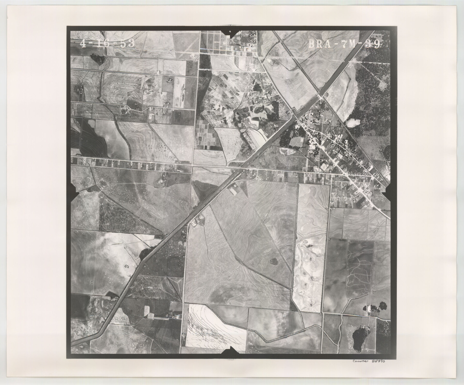
Flight Mission No. BRA-7M, Frame 39, Jefferson County
BRA-7M-39
-
Map/Doc
85490
-
Collection
General Map Collection
-
Object Dates
1953/4/16 (Creation Date)
-
People and Organizations
U. S. Department of Agriculture (Publisher)
-
Counties
Jefferson
-
Subjects
Aerial Photograph
-
Height x Width
18.7 x 22.5 inches
47.5 x 57.2 cm
-
Comments
Flown by Jack Ammann Photogrammetric Engineers of San Antonio, Texas.
Part of: General Map Collection
Ward County Working Sketch 54

Print $40.00
- Digital $50.00
Ward County Working Sketch 54
1978
Size 24.1 x 48.8 inches
Map/Doc 72360
Loving County Working Sketch 20

Print $40.00
- Digital $50.00
Loving County Working Sketch 20
1979
Size 30.6 x 56.6 inches
Map/Doc 70654
Sabine Pass and mouth of the River Sabine

Print $20.00
- Digital $50.00
Sabine Pass and mouth of the River Sabine
1840
Size 27.0 x 18.3 inches
Map/Doc 72726
Intracoastal Waterway in Texas - Corpus Christi to Point Isabel including Arroyo Colorado to Mo. Pac. R.R. Bridge Near Harlingen

Print $20.00
- Digital $50.00
Intracoastal Waterway in Texas - Corpus Christi to Point Isabel including Arroyo Colorado to Mo. Pac. R.R. Bridge Near Harlingen
1933
Size 40.9 x 27.8 inches
Map/Doc 61874
Bastrop County Boundary File 2

Print $12.00
- Digital $50.00
Bastrop County Boundary File 2
Size 9.1 x 6.9 inches
Map/Doc 50315
Wilbarger Co.

Print $20.00
- Digital $50.00
Wilbarger Co.
1949
Size 46.8 x 38.1 inches
Map/Doc 77458
Current Miscellaneous File 66

Print $34.00
- Digital $50.00
Current Miscellaneous File 66
Size 11.2 x 8.6 inches
Map/Doc 74113
Harris County Historic Topographic 36

Print $20.00
- Digital $50.00
Harris County Historic Topographic 36
1916
Size 29.5 x 23.0 inches
Map/Doc 65847
Kinney County Boundary File 1a

Print $73.00
- Digital $50.00
Kinney County Boundary File 1a
Size 8.5 x 43.2 inches
Map/Doc 64946
Garza County Working Sketch 4

Print $20.00
- Digital $50.00
Garza County Working Sketch 4
1916
Size 19.5 x 23.1 inches
Map/Doc 63151
Sterling County Rolled Sketch 37

Print $20.00
- Digital $50.00
Sterling County Rolled Sketch 37
Size 25.4 x 31.8 inches
Map/Doc 7861
Calhoun County Aerial Photograph Index Sheet 3

Print $20.00
- Digital $50.00
Calhoun County Aerial Photograph Index Sheet 3
1953
Size 23.8 x 19.8 inches
Map/Doc 83672
You may also like
Orange County Sketch File 40

Print $20.00
- Digital $50.00
Orange County Sketch File 40
1895
Size 18.2 x 22.7 inches
Map/Doc 12128
Val Verde County Sketch File 51a

Print $8.00
- Digital $50.00
Val Verde County Sketch File 51a
1959
Size 11.4 x 8.8 inches
Map/Doc 39325
Cottle County Sketch File 6b

Print $2.00
- Digital $50.00
Cottle County Sketch File 6b
Size 8.8 x 14.1 inches
Map/Doc 19477
Burleson County Sketch File 9

Print $12.00
- Digital $50.00
Burleson County Sketch File 9
1929
Size 14.2 x 8.1 inches
Map/Doc 16657

Winkler County Rolled Sketch 7

Print $20.00
- Digital $50.00
Winkler County Rolled Sketch 7
1929
Size 27.6 x 32.5 inches
Map/Doc 8273
Ector County Boundary File 5

Print $12.00
- Digital $50.00
Ector County Boundary File 5
Size 14.3 x 8.8 inches
Map/Doc 52847
Van Zandt County Boundary File 2a

Print $20.00
- Digital $50.00
Van Zandt County Boundary File 2a
Size 20.3 x 20.1 inches
Map/Doc 59649
Gaines County Sketch File 12

Print $4.00
- Digital $50.00
Gaines County Sketch File 12
1950
Size 14.3 x 8.8 inches
Map/Doc 23198
Galveston County Sketch File 61a

Print $12.00
- Digital $50.00
Galveston County Sketch File 61a
1988
Size 11.2 x 8.8 inches
Map/Doc 23665
Runnels County Sketch File 8

Print $40.00
Runnels County Sketch File 8
Size 37.9 x 37.5 inches
Map/Doc 10591
Ellwood Farms Subdivision Number 2 of the Spade Ranch

Print $20.00
- Digital $50.00
Ellwood Farms Subdivision Number 2 of the Spade Ranch
Size 21.9 x 31.4 inches
Map/Doc 90986