Burnet County Rolled Sketch 9
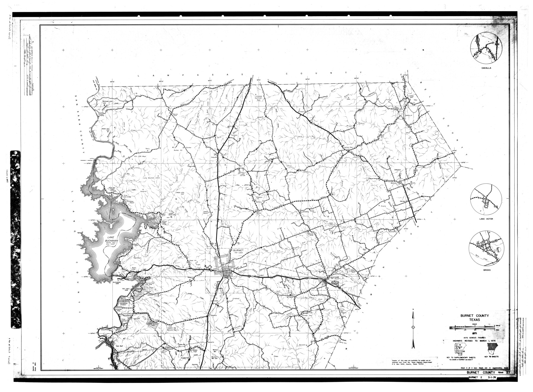
Burnet County, Texas [General Highway Map]
-
Map/Doc
8545
-
Collection
General Map Collection
-
Object Dates
1971 (Creation Date)
5/23/1980 (File Date)
3/1/1974 (Revision Date)
-
People and Organizations
Texas State Highway Department (Publisher)
-
Counties
Burnet
-
Subjects
County Surveying Rolled Sketch
-
Height x Width
37.7 x 51.3 inches
95.8 x 130.3 cm
-
Medium
mylar, print
Part of: General Map Collection
Hudspeth County Sketch File 34

Print $12.00
- Digital $50.00
Hudspeth County Sketch File 34
1944
Size 11.2 x 8.8 inches
Map/Doc 26997
Flight Mission No. BRA-8M, Frame 68, Jefferson County

Print $20.00
- Digital $50.00
Flight Mission No. BRA-8M, Frame 68, Jefferson County
1953
Size 18.6 x 22.4 inches
Map/Doc 85588
Rio Grande, Brownsville Sheet No. 2

Print $4.00
- Digital $50.00
Rio Grande, Brownsville Sheet No. 2
1924
Size 21.2 x 28.3 inches
Map/Doc 65131
Flight Mission No. DQN-6K, Frame 9, Calhoun County

Print $20.00
- Digital $50.00
Flight Mission No. DQN-6K, Frame 9, Calhoun County
1953
Size 18.5 x 22.1 inches
Map/Doc 84431
Concho County Sketch File 46

Print $24.00
- Digital $50.00
Concho County Sketch File 46
1961
Size 14.2 x 8.6 inches
Map/Doc 19213
Nueces County Rolled Sketch 35

Print $20.00
- Digital $50.00
Nueces County Rolled Sketch 35
1910
Size 33.6 x 24.3 inches
Map/Doc 6877
Bandera County Working Sketch 35

Print $20.00
- Digital $50.00
Bandera County Working Sketch 35
1965
Size 20.8 x 21.6 inches
Map/Doc 67631
Texas 1972 Official Highway Travel Map

Digital $50.00
Texas 1972 Official Highway Travel Map
Size 28.2 x 36.4 inches
Map/Doc 94314
Reeves County Rolled Sketch P

Print $20.00
- Digital $50.00
Reeves County Rolled Sketch P
Size 33.2 x 29.2 inches
Map/Doc 9847
Presidio County Working Sketch 43

Print $40.00
- Digital $50.00
Presidio County Working Sketch 43
1949
Size 29.0 x 54.9 inches
Map/Doc 71720
Crosby County Sketch File 11b

Print $20.00
- Digital $50.00
Crosby County Sketch File 11b
1890
Size 17.2 x 15.6 inches
Map/Doc 11247
Kimble County Sketch File 16

Print $30.00
- Digital $50.00
Kimble County Sketch File 16
1886
Size 8.5 x 7.9 inches
Map/Doc 28942
You may also like
Flight Mission No. DAG-17K, Frame 66, Matagorda County

Print $20.00
- Digital $50.00
Flight Mission No. DAG-17K, Frame 66, Matagorda County
1952
Size 18.5 x 22.3 inches
Map/Doc 86328
Kaufman County

Print $20.00
- Digital $50.00
Kaufman County
1854
Size 30.8 x 24.2 inches
Map/Doc 78485
Childress County

Print $20.00
- Digital $50.00
Childress County
1892
Size 36.2 x 27.1 inches
Map/Doc 3392
Sabine Pass, Series No. 519

Print $20.00
- Digital $50.00
Sabine Pass, Series No. 519
1888
Size 27.3 x 21.6 inches
Map/Doc 69841
Flight Mission No. BRA-16M, Frame 130, Jefferson County

Print $20.00
- Digital $50.00
Flight Mission No. BRA-16M, Frame 130, Jefferson County
1953
Size 18.5 x 22.5 inches
Map/Doc 85740
Bandera County Rolled Sketch 13

Print $20.00
- Digital $50.00
Bandera County Rolled Sketch 13
2018
Size 24.1 x 20.5 inches
Map/Doc 95305
Midland County

Print $20.00
- Digital $50.00
Midland County
1896
Size 23.0 x 21.1 inches
Map/Doc 3878
Reagan County Working Sketch 14a

Print $20.00
- Digital $50.00
Reagan County Working Sketch 14a
1949
Size 25.9 x 15.2 inches
Map/Doc 71854

Flight Mission No. DIX-8P, Frame 94, Aransas County

Print $20.00
- Digital $50.00
Flight Mission No. DIX-8P, Frame 94, Aransas County
1956
Size 18.5 x 22.3 inches
Map/Doc 83919
Austin County Sketch File 17

Print $4.00
- Digital $50.00
Austin County Sketch File 17
1873
Size 5.9 x 8.3 inches
Map/Doc 13925
Wood County Rolled Sketch 1

Print $40.00
- Digital $50.00
Wood County Rolled Sketch 1
1941
Size 53.2 x 43.8 inches
Map/Doc 10159