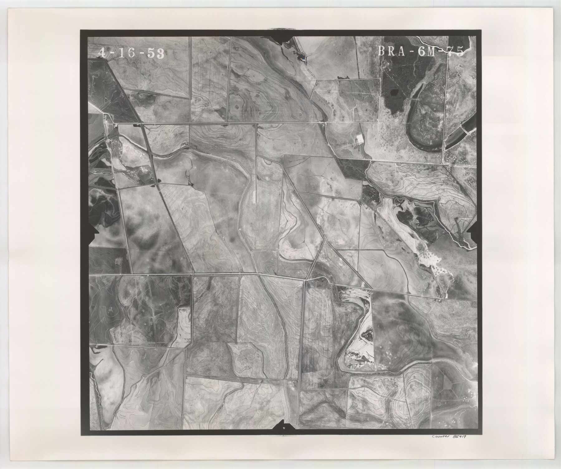
Flight Mission No. BRA-6M, Frame 75, Jefferson County
BRA-6M-75
-
Map/Doc
85419
-
Collection
General Map Collection
-
Object Dates
1953/4/16 (Creation Date)
-
People and Organizations
U. S. Department of Agriculture (Publisher)
-
Counties
Jefferson
-
Subjects
Aerial Photograph
-
Height x Width
18.8 x 22.5 inches
47.8 x 57.2 cm
-
Comments
Flown by Jack Ammann Photogrammetric Engineers of San Antonio, Texas.
Part of: General Map Collection
Ellis County Sketch File 10

Print $40.00
- Digital $50.00
Ellis County Sketch File 10
1860
Size 12.7 x 16.1 inches
Map/Doc 21845
Jasper County Sketch File 28

Print $10.00
- Digital $50.00
Jasper County Sketch File 28
1947
Size 11.4 x 8.8 inches
Map/Doc 27853
Panola County Sketch File 4

Print $4.00
- Digital $50.00
Panola County Sketch File 4
1860
Size 8.9 x 8.9 inches
Map/Doc 33449
Hockley County

Print $20.00
- Digital $50.00
Hockley County
1954
Size 42.7 x 38.2 inches
Map/Doc 73181
Jack County Working Sketch 19

Print $20.00
- Digital $50.00
Jack County Working Sketch 19
1989
Size 21.5 x 29.4 inches
Map/Doc 66445
Flight Mission No. DCL-7C, Frame 148, Kenedy County

Print $20.00
- Digital $50.00
Flight Mission No. DCL-7C, Frame 148, Kenedy County
1943
Size 17.3 x 22.5 inches
Map/Doc 86105
Wharton County Sketch File 9

Print $4.00
- Digital $50.00
Wharton County Sketch File 9
1884
Size 9.1 x 11.7 inches
Map/Doc 39929
Ochiltree County Boundary File 1c

Print $2.00
- Digital $50.00
Ochiltree County Boundary File 1c
Size 10.6 x 8.1 inches
Map/Doc 57674
Flight Mission No. DQN-3K, Frame 6, Calhoun County

Print $20.00
- Digital $50.00
Flight Mission No. DQN-3K, Frame 6, Calhoun County
1953
Size 18.4 x 22.2 inches
Map/Doc 84338
Webb County Working Sketch 68

Print $40.00
- Digital $50.00
Webb County Working Sketch 68
1967
Size 31.6 x 50.7 inches
Map/Doc 72435
Culberson County Sketch File 14

Print $28.00
- Digital $50.00
Culberson County Sketch File 14
1928
Size 13.3 x 8.0 inches
Map/Doc 20176
Val Verde County Working Sketch 46

Print $20.00
- Digital $50.00
Val Verde County Working Sketch 46
1946
Size 31.8 x 33.3 inches
Map/Doc 72181
You may also like
Kimble County Working Sketch 11

Print $20.00
- Digital $50.00
Kimble County Working Sketch 11
1921
Size 19.0 x 25.1 inches
Map/Doc 70079
Cottle County Rolled Sketch B

Print $20.00
- Digital $50.00
Cottle County Rolled Sketch B
1903
Size 32.5 x 43.4 inches
Map/Doc 8671
Jackson County Boundary File 2a

Print $86.00
- Digital $50.00
Jackson County Boundary File 2a
Size 14.4 x 8.8 inches
Map/Doc 55448
[Sketch showing I. G. Yates SF 12341 and surrounding surveys]
![93106, [Sketch showing I. G. Yates SF 12341 and surrounding surveys], Twichell Survey Records](https://historictexasmaps.com/wmedia_w700/maps/93106-1.tif.jpg)
Print $20.00
- Digital $50.00
[Sketch showing I. G. Yates SF 12341 and surrounding surveys]
Size 25.9 x 21.6 inches
Map/Doc 93106
Map of Carson County

Print $20.00
- Digital $50.00
Map of Carson County
1898
Size 40.7 x 37.6 inches
Map/Doc 4904
[Gunter & Munson, Maddox Bros. & Anderson Blocks F and A and blocks south]
![91850, [Gunter & Munson, Maddox Bros. & Anderson Blocks F and A and blocks south], Twichell Survey Records](https://historictexasmaps.com/wmedia_w700/maps/91850-1.tif.jpg)
Print $20.00
- Digital $50.00
[Gunter & Munson, Maddox Bros. & Anderson Blocks F and A and blocks south]
Size 18.3 x 19.8 inches
Map/Doc 91850
Fort Bend County Working Sketch 4

Print $20.00
- Digital $50.00
Fort Bend County Working Sketch 4
1909
Size 23.5 x 34.8 inches
Map/Doc 69210
Anderson County Rolled Sketch 14

Print $20.00
- Digital $50.00
Anderson County Rolled Sketch 14
1997
Size 30.1 x 36.5 inches
Map/Doc 77159
Dawson County

Print $20.00
- Digital $50.00
Dawson County
1959
Size 43.5 x 35.1 inches
Map/Doc 77259
Upton County Rolled Sketch 51

Print $20.00
- Digital $50.00
Upton County Rolled Sketch 51
1961
Size 34.0 x 29.8 inches
Map/Doc 8086
Howard County Boundary File 4

Print $16.00
- Digital $50.00
Howard County Boundary File 4
Size 9.4 x 4.3 inches
Map/Doc 55158
Nueces County Rolled Sketch 131

Print $20.00
- Digital $50.00
Nueces County Rolled Sketch 131
2000
Size 24.2 x 36.6 inches
Map/Doc 7166