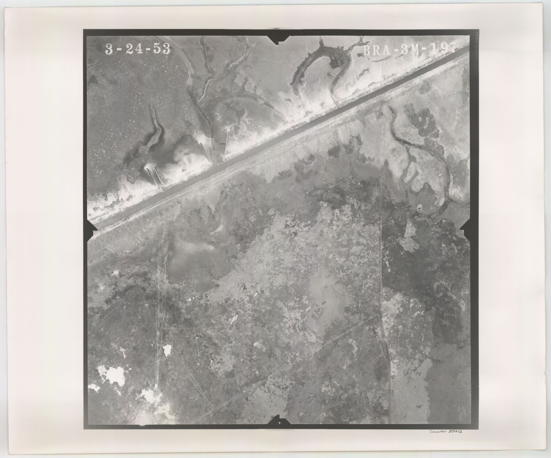
Flight Mission No. BRA-3M, Frame 197, Jefferson County
BRA-3M-197
-
Map/Doc
85412
-
Collection
General Map Collection
-
Object Dates
1953/3/24 (Creation Date)
-
People and Organizations
U. S. Department of Agriculture (Publisher)
-
Counties
Jefferson
-
Subjects
Aerial Photograph
-
Height x Width
18.6 x 22.4 inches
47.2 x 56.9 cm
-
Comments
Flown by Jack Ammann Photogrammetric Engineers of San Antonio, Texas.
Part of: General Map Collection
State Prison System, Cherokee County

Print $20.00
- Digital $50.00
State Prison System, Cherokee County
Size 17.9 x 13.8 inches
Map/Doc 73561
Milam County Sketch File 5

Print $4.00
- Digital $50.00
Milam County Sketch File 5
1901
Size 14.2 x 8.7 inches
Map/Doc 31632
Jim Hogg County

Print $20.00
- Digital $50.00
Jim Hogg County
1962
Size 43.0 x 31.4 inches
Map/Doc 95547
Terrell County

Print $20.00
- Digital $50.00
Terrell County
1905
Size 40.5 x 32.3 inches
Map/Doc 4075
Dimmit County Boundary File 9

Print $20.00
- Digital $50.00
Dimmit County Boundary File 9
Size 37.2 x 6.9 inches
Map/Doc 52603
Presidio County Rolled Sketch A-2A

Print $20.00
- Digital $50.00
Presidio County Rolled Sketch A-2A
Size 34.1 x 15.9 inches
Map/Doc 7406
Zavala County Rolled Sketch 33

Print $20.00
- Digital $50.00
Zavala County Rolled Sketch 33
Size 19.3 x 26.9 inches
Map/Doc 8334
Matagorda County Sketch File 7c

Print $8.00
- Digital $50.00
Matagorda County Sketch File 7c
1890
Size 14.3 x 8.8 inches
Map/Doc 30746
Collingsworth County Working Sketch 2

Print $20.00
- Digital $50.00
Collingsworth County Working Sketch 2
1957
Size 10.2 x 32.6 inches
Map/Doc 63762
Flight Mission No. DAG-14K, Frame 43, Matagorda County

Print $20.00
- Digital $50.00
Flight Mission No. DAG-14K, Frame 43, Matagorda County
1952
Size 18.4 x 22.4 inches
Map/Doc 86301
Flight Mission No. DQN-2K, Frame 8, Calhoun County

Print $20.00
- Digital $50.00
Flight Mission No. DQN-2K, Frame 8, Calhoun County
1953
Size 15.8 x 15.6 inches
Map/Doc 84225
Webb County Rolled Sketch 21

Print $20.00
- Digital $50.00
Webb County Rolled Sketch 21
1930
Size 32.9 x 23.0 inches
Map/Doc 8183
You may also like
Floyd County Sketch File 14

Print $10.00
- Digital $50.00
Floyd County Sketch File 14
1913
Size 11.3 x 8.7 inches
Map/Doc 22731

Zavala County Sketch File 24

Print $12.00
- Digital $50.00
Zavala County Sketch File 24
1885
Size 11.5 x 8.6 inches
Map/Doc 41382
Map of Schleicher Co.

Print $20.00
- Digital $50.00
Map of Schleicher Co.
1891
Size 24.4 x 32.5 inches
Map/Doc 63024
General Highway Map, Coke County, Texas

Print $20.00
General Highway Map, Coke County, Texas
1940
Size 18.4 x 25.2 inches
Map/Doc 79049
Comanche County Working Sketch 14

Print $20.00
- Digital $50.00
Comanche County Working Sketch 14
1960
Size 17.9 x 23.9 inches
Map/Doc 68148
Fisher County Boundary File 1

Print $16.00
- Digital $50.00
Fisher County Boundary File 1
Size 12.8 x 8.4 inches
Map/Doc 53411
Menard County Sketch File 19

Print $4.00
- Digital $50.00
Menard County Sketch File 19
1905
Size 11.2 x 8.8 inches
Map/Doc 31546
Briscoe County

Print $20.00
- Digital $50.00
Briscoe County
1930
Size 46.2 x 39.2 inches
Map/Doc 1787
Matagorda County Rolled Sketch 34

Print $20.00
- Digital $50.00
Matagorda County Rolled Sketch 34
Size 25.4 x 40.5 inches
Map/Doc 6695
[Blocks T, Y, C-39, A-1]
![92890, [Blocks T, Y, C-39, A-1], Twichell Survey Records](https://historictexasmaps.com/wmedia_w700/maps/92890-1.tif.jpg)
Print $3.00
- Digital $50.00
[Blocks T, Y, C-39, A-1]
1937
Size 12.5 x 10.2 inches
Map/Doc 92890
Fort Bend County Sketch File 8

Print $6.00
- Digital $50.00
Fort Bend County Sketch File 8
Size 6.3 x 4.2 inches
Map/Doc 22894