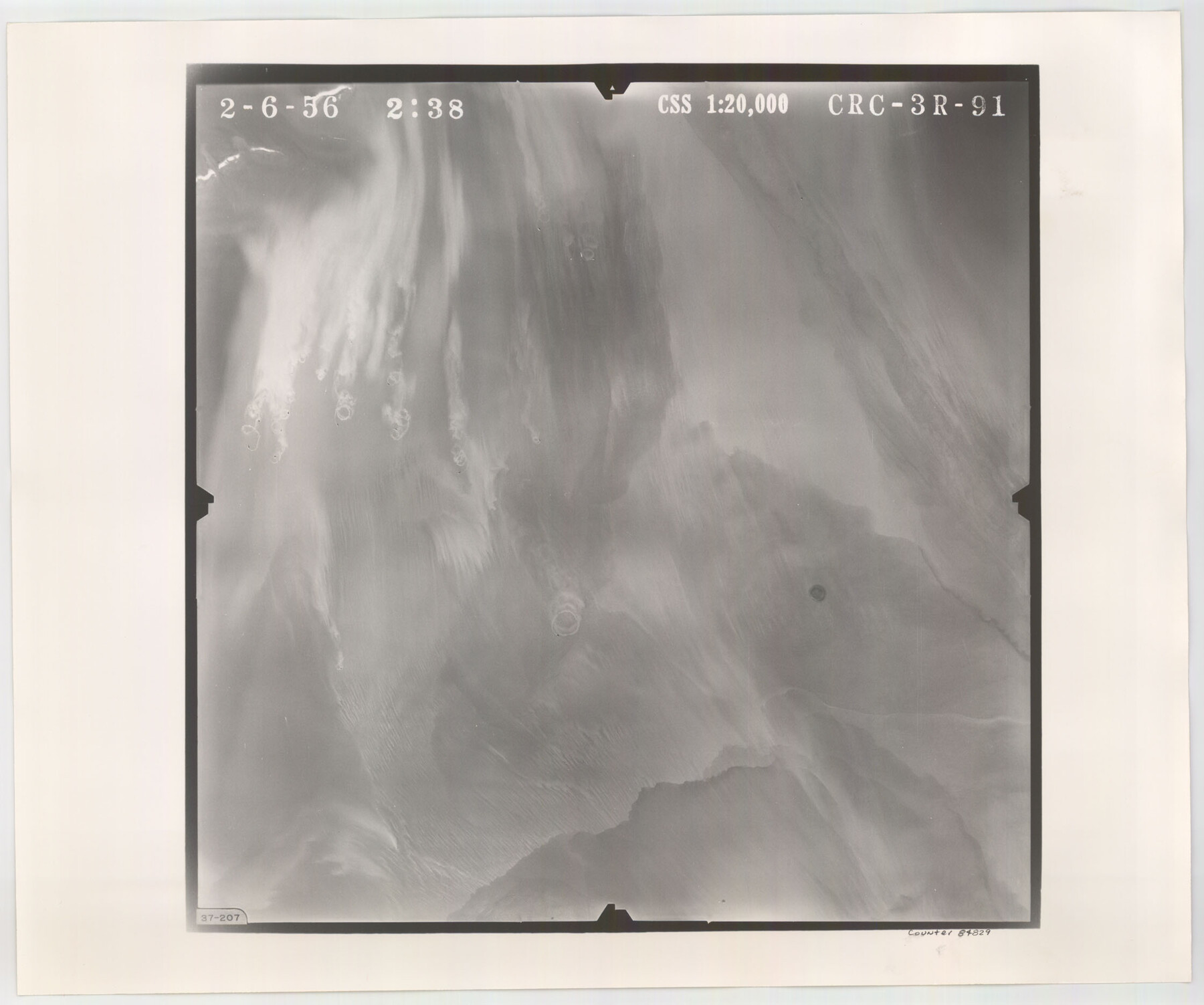
Flight Mission No. CRC-3R, Frame 91, Chambers County
CRC-3R-91
-
Map/Doc
84829
-
Collection
General Map Collection
-
Object Dates
1956/2/6 (Creation Date)
-
People and Organizations
U. S. Department of Agriculture (Publisher)
-
Counties
Chambers
-
Subjects
Aerial Photograph
-
Height x Width
18.7 x 22.4 inches
47.5 x 56.9 cm
-
Comments
Flown by Jack Ammann Photogrammetric Engineers, Inc. of San Antonio, Texas.
Part of: General Map Collection
La Salle County Working Sketch 22

Print $20.00
- Digital $50.00
La Salle County Working Sketch 22
1942
Size 36.2 x 29.2 inches
Map/Doc 70323
Val Verde County Working Sketch 41

Print $20.00
- Digital $50.00
Val Verde County Working Sketch 41
1943
Size 27.8 x 30.2 inches
Map/Doc 72176
Nacogdoches County

Print $20.00
- Digital $50.00
Nacogdoches County
1950
Size 47.0 x 43.1 inches
Map/Doc 73248
Baylor County Working Sketch 13

Print $20.00
- Digital $50.00
Baylor County Working Sketch 13
1961
Size 22.4 x 20.0 inches
Map/Doc 67298

Jackson County Rolled Sketch 9

Print $40.00
- Digital $50.00
Jackson County Rolled Sketch 9
1941
Size 50.7 x 32.1 inches
Map/Doc 9258
Burnet County Sketch File 17

Print $6.00
- Digital $50.00
Burnet County Sketch File 17
Size 12.4 x 10.1 inches
Map/Doc 16706
Flight Mission No. DAG-28K, Frame 30, Matagorda County

Print $20.00
- Digital $50.00
Flight Mission No. DAG-28K, Frame 30, Matagorda County
1953
Size 16.1 x 16.1 inches
Map/Doc 86598
Andrews County

Print $40.00
- Digital $50.00
Andrews County
1951
Size 43.0 x 54.4 inches
Map/Doc 77199
Glasscock County Sketch File 9

Print $4.00
- Digital $50.00
Glasscock County Sketch File 9
1934
Size 11.3 x 8.8 inches
Map/Doc 24170

Map of the Lands Surveyed by the Memphis, El Paso & Pacific R.R. Company

Print $20.00
- Digital $50.00
Map of the Lands Surveyed by the Memphis, El Paso & Pacific R.R. Company
1859
Size 15.0 x 30.0 inches
Map/Doc 2219
You may also like
Titus County Sketch File 10

Print $4.00
- Digital $50.00
Titus County Sketch File 10
1871
Size 8.1 x 12.9 inches
Map/Doc 38148
Flight Mission No. DCL-7C, Frame 123, Kenedy County

Print $20.00
- Digital $50.00
Flight Mission No. DCL-7C, Frame 123, Kenedy County
1943
Size 18.5 x 22.2 inches
Map/Doc 86088
Hidalgo County Sketch File 12

Print $20.00
- Digital $50.00
Hidalgo County Sketch File 12
Size 16.3 x 25.1 inches
Map/Doc 11763
Swisher County Rolled Sketch 3

Print $20.00
- Digital $50.00
Swisher County Rolled Sketch 3
Size 21.3 x 19.4 inches
Map/Doc 7904
Van Zandt County Working Sketch Graphic Index

Print $20.00
- Digital $50.00
Van Zandt County Working Sketch Graphic Index
1972
Size 46.2 x 40.7 inches
Map/Doc 76727
[Sketch showing Blocks B5 and B6 and Capitol Land Reservation]
![89973, [Sketch showing Blocks B5 and B6 and Capitol Land Reservation], Twichell Survey Records](https://historictexasmaps.com/wmedia_w700/maps/89973-1.tif.jpg)
Print $20.00
- Digital $50.00
[Sketch showing Blocks B5 and B6 and Capitol Land Reservation]
Size 46.3 x 41.9 inches
Map/Doc 89973
[Northwest Part of GLO Crockett County Map]
![91569, [Northwest Part of GLO Crockett County Map], Twichell Survey Records](https://historictexasmaps.com/wmedia_w700/maps/91569-1.tif.jpg)
Print $20.00
- Digital $50.00
[Northwest Part of GLO Crockett County Map]
Size 14.0 x 19.1 inches
Map/Doc 91569
Map showing conflict of Rusk Transportation Co. with Lazarus and I. R.R. Co. Surveys

Print $20.00
- Digital $50.00
Map showing conflict of Rusk Transportation Co. with Lazarus and I. R.R. Co. Surveys
1914
Size 28.9 x 16.6 inches
Map/Doc 75825
Houston County Working Sketch 4

Print $20.00
- Digital $50.00
Houston County Working Sketch 4
1911
Size 15.5 x 21.8 inches
Map/Doc 66234
Milam County Working Sketch 17

Print $40.00
- Digital $50.00
Milam County Working Sketch 17
1972
Size 54.7 x 32.2 inches
Map/Doc 89031
Flight Mission No. BRE-2P, Frame 13, Nueces County

Print $20.00
- Digital $50.00
Flight Mission No. BRE-2P, Frame 13, Nueces County
1956
Size 18.0 x 22.1 inches
Map/Doc 86722
Val Verde County Working Sketch 19

Print $40.00
- Digital $50.00
Val Verde County Working Sketch 19
1928
Size 48.5 x 43.5 inches
Map/Doc 72154