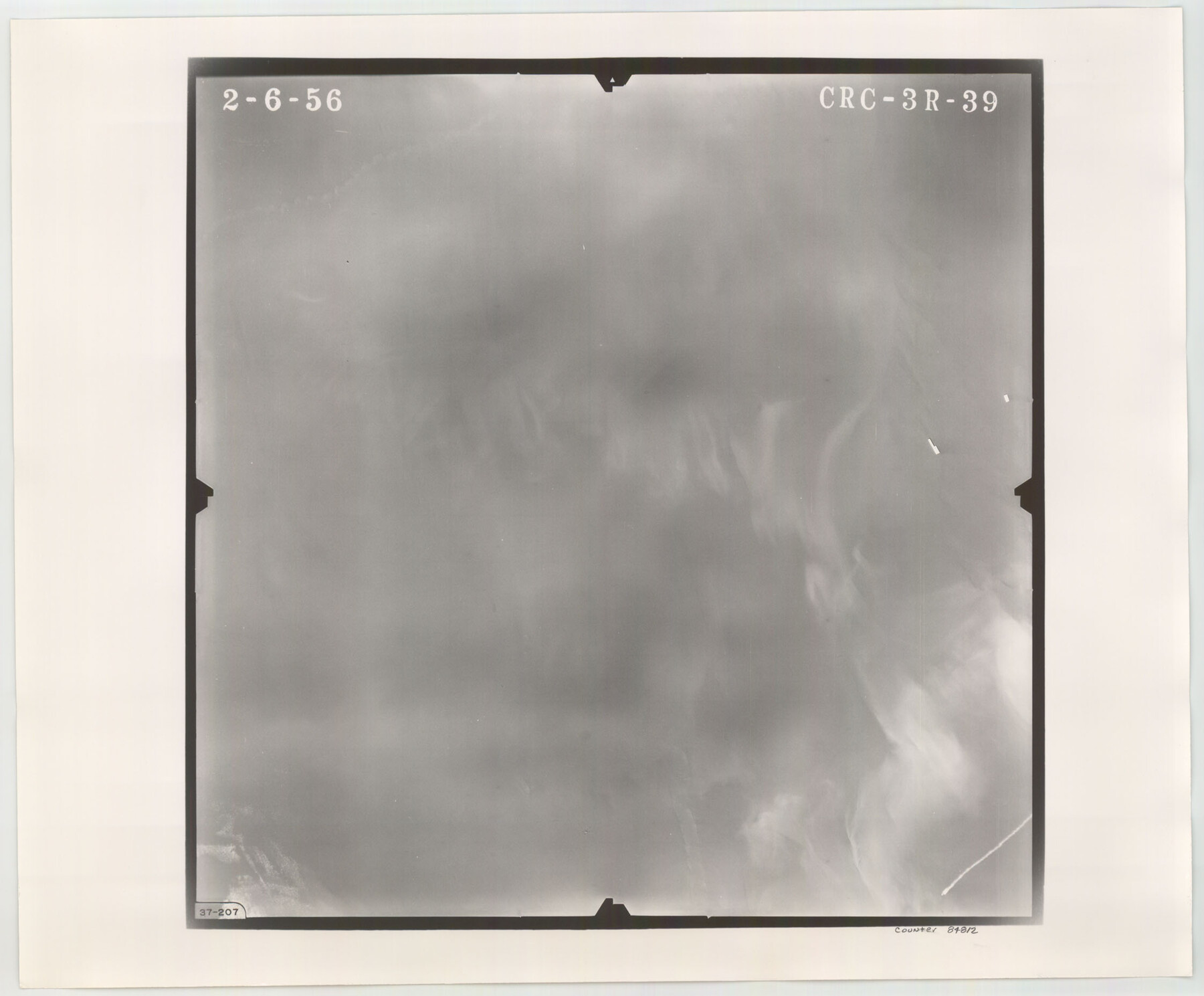
Flight Mission No. CRC-3R, Frame 39, Chambers County
CRC-3R-39
-
Map/Doc
84812
-
Collection
General Map Collection
-
Object Dates
1956/2/6 (Creation Date)
-
People and Organizations
U. S. Department of Agriculture (Publisher)
-
Counties
Chambers
-
Subjects
Aerial Photograph
-
Height x Width
18.6 x 22.4 inches
47.2 x 56.9 cm
-
Comments
Flown by Jack Ammann Photogrammetric Engineers, Inc. of San Antonio, Texas.
Part of: General Map Collection
Deaf Smith County Sketch File D

Print $20.00
- Digital $50.00
Deaf Smith County Sketch File D
Size 12.6 x 27.7 inches
Map/Doc 11306
Post Route Map of the State of Texas with adjacent parts of Louisiana, Arkansas, Indian Territory, and of the Republic of Mexico showing post offices with the intermediate and mail routes in operation on the 1st of December, 1892

Print $40.00
- Digital $50.00
Post Route Map of the State of Texas with adjacent parts of Louisiana, Arkansas, Indian Territory, and of the Republic of Mexico showing post offices with the intermediate and mail routes in operation on the 1st of December, 1892
1889
Size 44.0 x 57.3 inches
Map/Doc 94080
Tarrant County Working Sketch 26

Print $20.00
- Digital $50.00
Tarrant County Working Sketch 26
2004
Size 27.1 x 43.9 inches
Map/Doc 83586
Real County Working Sketch 55

Print $6.00
- Digital $50.00
Real County Working Sketch 55
1960
Size 21.6 x 35.1 inches
Map/Doc 71947
Crane County Rolled Sketch 25

Print $20.00
- Digital $50.00
Crane County Rolled Sketch 25
2019
Size 36.2 x 23.8 inches
Map/Doc 95746
Map of the Country upon Upper Red-River explored in 1852 by Capt. R.B. Marcy 5th U.S. Infy. assisted by Bvt. Capt. G.B. McClellan U.S. Engs. under orders from the Head Quarters of the U.S. Army

Print $20.00
- Digital $50.00
Map of the Country upon Upper Red-River explored in 1852 by Capt. R.B. Marcy 5th U.S. Infy. assisted by Bvt. Capt. G.B. McClellan U.S. Engs. under orders from the Head Quarters of the U.S. Army
Size 18.7 x 36.0 inches
Map/Doc 95320
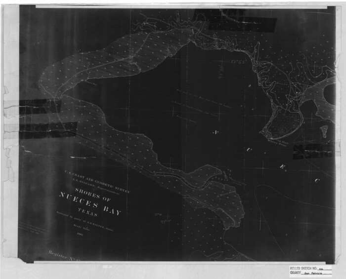
San Patricio County Rolled Sketch 22
Print $20.00
- Digital $50.00
San Patricio County Rolled Sketch 22
1882
Size 19.3 x 23.9 inches
Map/Doc 7581
Flight Mission No. DQN-5K, Frame 39, Calhoun County

Print $20.00
- Digital $50.00
Flight Mission No. DQN-5K, Frame 39, Calhoun County
1953
Size 18.5 x 22.1 inches
Map/Doc 84387
Topographical Map of the Rio Grande, Sheet No. 15

Print $20.00
- Digital $50.00
Topographical Map of the Rio Grande, Sheet No. 15
1912
Map/Doc 89539
St. Louis, Brownsville & Mexico Railway Location Map from Mile 80 to Mile 100
Print $40.00
- Digital $50.00
St. Louis, Brownsville & Mexico Railway Location Map from Mile 80 to Mile 100
1905
Size 19.5 x 64.6 inches
Map/Doc 64166
Edwards County Working Sketch 43

Print $20.00
- Digital $50.00
Edwards County Working Sketch 43
1950
Size 20.3 x 27.7 inches
Map/Doc 68919
Freestone County Working Sketch Graphic Index

Print $20.00
- Digital $50.00
Freestone County Working Sketch Graphic Index
1988
Size 43.0 x 42.1 inches
Map/Doc 76547
You may also like

Flight Mission No. CUG-3P, Frame 36, Kleberg County

Print $20.00
- Digital $50.00
Flight Mission No. CUG-3P, Frame 36, Kleberg County
1956
Size 18.4 x 22.1 inches
Map/Doc 86241
Close-up: USA - The South Central States

Close-up: USA - The South Central States
1974
Size 23.2 x 35.2 inches
Map/Doc 96846
[Geological Map of Texas]
![62962, [Geological Map of Texas], General Map Collection](https://historictexasmaps.com/wmedia_w700/maps/62962.tif.jpg)
Print $20.00
- Digital $50.00
[Geological Map of Texas]
Size 17.6 x 18.1 inches
Map/Doc 62962
Travis County Sketch File 43

Print $30.00
- Digital $50.00
Travis County Sketch File 43
1887
Size 8.8 x 9.3 inches
Map/Doc 38359
Flight Mission No. DIX-6P, Frame 191, Aransas County

Print $20.00
- Digital $50.00
Flight Mission No. DIX-6P, Frame 191, Aransas County
1956
Size 19.0 x 22.7 inches
Map/Doc 83853
Parker County Sketch File 48

Print $20.00
- Digital $50.00
Parker County Sketch File 48
1858
Size 17.6 x 22.3 inches
Map/Doc 12152
[Right of Way & Track Map, The Texas & Pacific Ry. Co. Main Line]
![64691, [Right of Way & Track Map, The Texas & Pacific Ry. Co. Main Line], General Map Collection](https://historictexasmaps.com/wmedia_w700/maps/64691.tif.jpg)
Print $20.00
- Digital $50.00
[Right of Way & Track Map, The Texas & Pacific Ry. Co. Main Line]
Size 10.9 x 18.6 inches
Map/Doc 64691
Working Sketch Crockett County

Print $20.00
- Digital $50.00
Working Sketch Crockett County
1925
Size 16.6 x 15.2 inches
Map/Doc 90476
Map of Escarpment Section through Webb County, Texas (North half of Webb County)

Print $40.00
- Digital $50.00
Map of Escarpment Section through Webb County, Texas (North half of Webb County)
1925
Size 43.3 x 76.3 inches
Map/Doc 93162
Flight Mission No. DQN-4K, Frame 6, Calhoun County

Print $20.00
- Digital $50.00
Flight Mission No. DQN-4K, Frame 6, Calhoun County
1953
Size 18.6 x 22.4 inches
Map/Doc 84371
Brewster County Working Sketch 40

Print $20.00
- Digital $50.00
Brewster County Working Sketch 40
1944
Size 16.1 x 26.1 inches
Map/Doc 67574