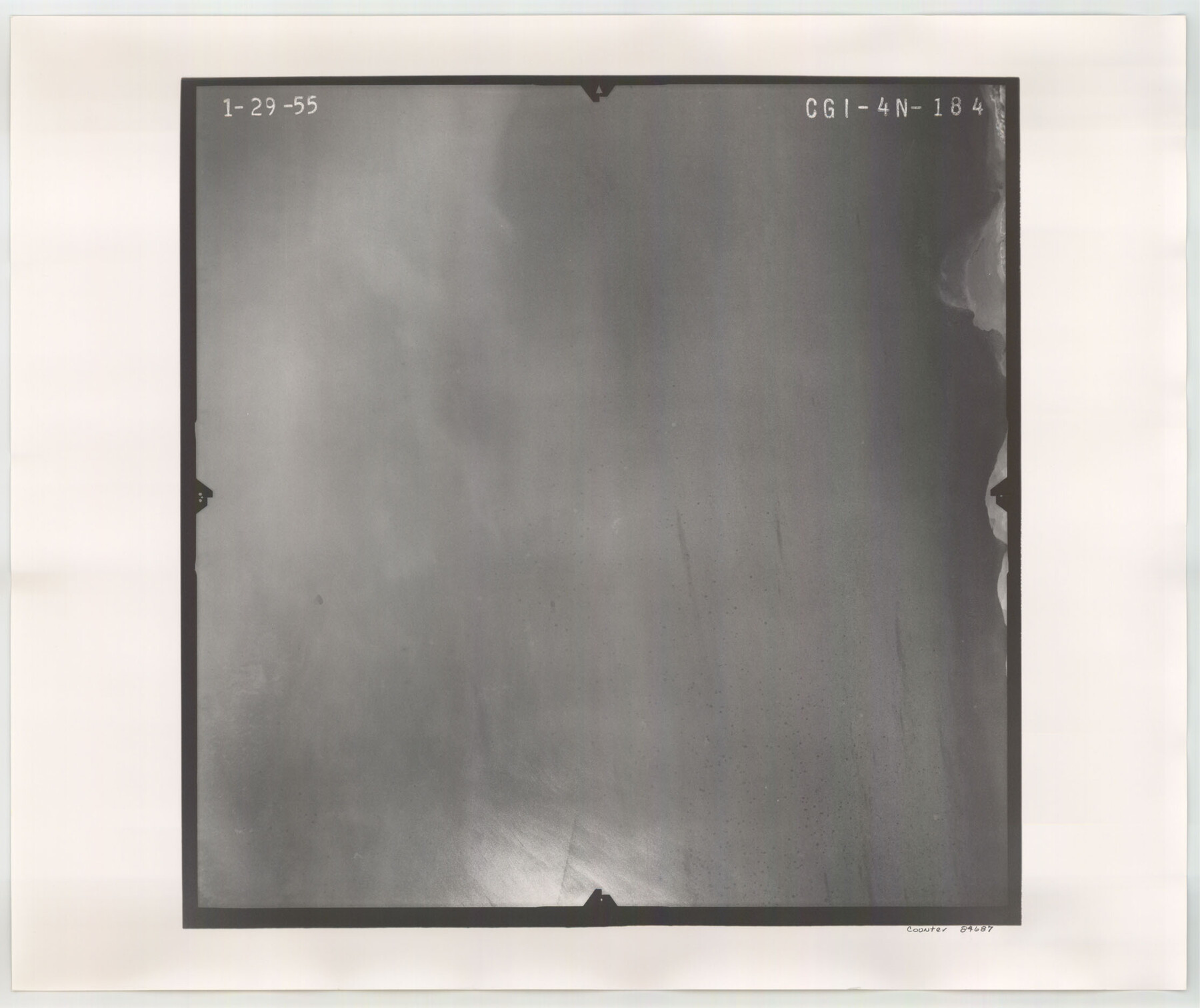
Flight Mission No. CGI-4N, Frame 184, Cameron County
CGI-4N-184
-
Map/Doc
84687
-
Collection
General Map Collection
-
Object Dates
1955/1/29 (Creation Date)
-
People and Organizations
U. S. Department of Agriculture (Publisher)
-
Counties
Cameron
-
Subjects
Aerial Photograph
-
Height x Width
18.7 x 22.3 inches
47.5 x 56.6 cm
-
Comments
Flown by Puckett Aerial Surveys, Inc. of Jackson, Mississippi.
Part of: General Map Collection
Panola County Working Sketch 40

Print $20.00
- Digital $50.00
Panola County Working Sketch 40
1995
Map/Doc 71449
Rains County Sketch File 4

Print $4.00
- Digital $50.00
Rains County Sketch File 4
1853
Size 11.2 x 8.7 inches
Map/Doc 34951

San Jacinto County Working Sketch 42b

Print $3.00
- Digital $50.00
San Jacinto County Working Sketch 42b
1979
Size 10.7 x 14.4 inches
Map/Doc 63756
Culberson County Rolled Sketch 35

Print $20.00
- Digital $50.00
Culberson County Rolled Sketch 35
1934
Size 19.1 x 10.9 inches
Map/Doc 5659
Webb County Rolled Sketch 22

Print $40.00
- Digital $50.00
Webb County Rolled Sketch 22
Size 108.0 x 43.7 inches
Map/Doc 10120
Walker County Working Sketch 15

Print $20.00
- Digital $50.00
Walker County Working Sketch 15
1967
Size 26.9 x 24.8 inches
Map/Doc 72295
Hartley County Working Sketch 6

Print $20.00
- Digital $50.00
Hartley County Working Sketch 6
1971
Size 37.0 x 37.0 inches
Map/Doc 66056
Map of Lampasas County

Print $40.00
- Digital $50.00
Map of Lampasas County
1900
Size 47.1 x 60.2 inches
Map/Doc 62971
Liberty County Working Sketch 71

Print $20.00
- Digital $50.00
Liberty County Working Sketch 71
1977
Size 37.3 x 31.8 inches
Map/Doc 70531
Travis County Sketch File 45

Print $20.00
- Digital $50.00
Travis County Sketch File 45
1937
Size 22.7 x 37.8 inches
Map/Doc 12467

You may also like
Guadalupe County Working Sketch 2

Print $20.00
- Digital $50.00
Guadalupe County Working Sketch 2
1925
Size 37.2 x 19.2 inches
Map/Doc 63311
Flight Mission No. DIX-5P, Frame 105, Aransas County

Print $20.00
- Digital $50.00
Flight Mission No. DIX-5P, Frame 105, Aransas County
1956
Size 17.7 x 17.8 inches
Map/Doc 83783
Hardeman County Boundary File 2

Print $20.00
- Digital $50.00
Hardeman County Boundary File 2
Size 42.0 x 13.5 inches
Map/Doc 54374
Kinney County Working Sketch 31

Print $20.00
- Digital $50.00
Kinney County Working Sketch 31
1961
Size 30.9 x 47.3 inches
Map/Doc 70213
Shackelford County Working Sketch 9

Print $20.00
- Digital $50.00
Shackelford County Working Sketch 9
1974
Size 30.1 x 22.2 inches
Map/Doc 63849
Real County Working Sketch 58

Print $20.00
- Digital $50.00
Real County Working Sketch 58
1962
Size 24.7 x 28.5 inches
Map/Doc 71950
Chambers County Sketch File 22

Print $8.00
- Digital $50.00
Chambers County Sketch File 22
Size 12.2 x 7.6 inches
Map/Doc 17594
Flight Mission No. CRK-8P, Frame 102, Refugio County

Print $20.00
- Digital $50.00
Flight Mission No. CRK-8P, Frame 102, Refugio County
1956
Size 18.2 x 22.0 inches
Map/Doc 86963
General Highway Map, Wilbarger County, Texas

Print $20.00
General Highway Map, Wilbarger County, Texas
1940
Size 24.7 x 18.1 inches
Map/Doc 79278
Pecos County Boundary File 1c

Print $12.00
- Digital $50.00
Pecos County Boundary File 1c
Size 14.2 x 8.5 inches
Map/Doc 57865
General Highway Map, Wheeler County, Texas

Print $20.00
General Highway Map, Wheeler County, Texas
1961
Size 18.1 x 24.9 inches
Map/Doc 79708
Nacogdoches County Boundary File 1b

Print $20.00
- Digital $50.00
Nacogdoches County Boundary File 1b
Size 21.2 x 4.9 inches
Map/Doc 57580