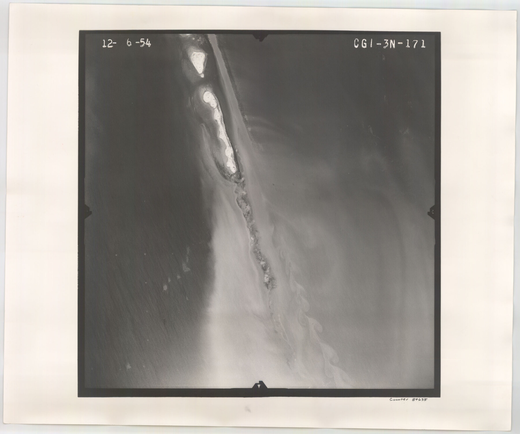
Flight Mission No. CGI-3N, Frame 171, Cameron County
CGI-3N-171
-
Map/Doc
84635
-
Collection
General Map Collection
-
Object Dates
1954/12/6 (Creation Date)
-
People and Organizations
U. S. Department of Agriculture (Publisher)
-
Counties
Cameron
-
Subjects
Aerial Photograph
-
Height x Width
18.7 x 22.4 inches
47.5 x 56.9 cm
-
Comments
Flown by Puckett Aerial Surveys, Inc. of Jackson, Mississippi.
Part of: General Map Collection
Bastrop County

Print $20.00
- Digital $50.00
Bastrop County
1872
Size 21.1 x 17.4 inches
Map/Doc 3279
Flight Mission No. DCL-6C, Frame 72, Kenedy County

Print $20.00
- Digital $50.00
Flight Mission No. DCL-6C, Frame 72, Kenedy County
1943
Size 18.6 x 22.3 inches
Map/Doc 85914
Angelina County Sketch File 15f

Print $4.00
- Digital $50.00
Angelina County Sketch File 15f
Size 10.4 x 7.6 inches
Map/Doc 12994
Jasper County Working Sketch 11

Print $20.00
- Digital $50.00
Jasper County Working Sketch 11
1917
Size 20.2 x 23.4 inches
Map/Doc 66473
Kimble County Boundary File 3a

Print $36.00
- Digital $50.00
Kimble County Boundary File 3a
Size 8.8 x 8.2 inches
Map/Doc 64859
Roberts County Working Sketch 8

Print $20.00
- Digital $50.00
Roberts County Working Sketch 8
1963
Size 21.9 x 26.0 inches
Map/Doc 63534
No. 3 Chart of Channel connecting Corpus Christi Bay with Aransas Bay, Texas

Print $20.00
- Digital $50.00
No. 3 Chart of Channel connecting Corpus Christi Bay with Aransas Bay, Texas
1878
Size 18.3 x 28.0 inches
Map/Doc 72773
Red River County Working Sketch 64

Print $20.00
- Digital $50.00
Red River County Working Sketch 64
1973
Size 26.1 x 32.3 inches
Map/Doc 72047
Calhoun County Rolled Sketch 28B

Print $7.00
- Digital $50.00
Calhoun County Rolled Sketch 28B
1834
Size 10.5 x 15.4 inches
Map/Doc 43684
Val Verde County Sketch File A1 1/2

Print $20.00
- Digital $50.00
Val Verde County Sketch File A1 1/2
Size 24.8 x 17.3 inches
Map/Doc 12539
Childress County Rolled Sketch 1

Print $20.00
- Digital $50.00
Childress County Rolled Sketch 1
Size 31.2 x 26.5 inches
Map/Doc 5437
Midland County Working Sketch 32

Print $40.00
- Digital $50.00
Midland County Working Sketch 32
1971
Size 51.3 x 35.5 inches
Map/Doc 71013
You may also like
[H. & G. N. RR. Company, Block 7]
![91018, [H. & G. N. RR. Company, Block 7], Twichell Survey Records](https://historictexasmaps.com/wmedia_w700/maps/91018-1.tif.jpg)
Print $20.00
- Digital $50.00
[H. & G. N. RR. Company, Block 7]
Size 14.7 x 21.4 inches
Map/Doc 91018
Uvalde County Sketch File 18

Print $6.00
- Digital $50.00
Uvalde County Sketch File 18
1883
Size 10.9 x 8.2 inches
Map/Doc 38997
Hardin County Working Sketch 38

Print $20.00
- Digital $50.00
Hardin County Working Sketch 38
1981
Size 37.2 x 19.4 inches
Map/Doc 63436
Williamson County

Print $40.00
- Digital $50.00
Williamson County
1888
Size 37.1 x 54.0 inches
Map/Doc 16930
Map of Atascosa County, Texas

Print $20.00
- Digital $50.00
Map of Atascosa County, Texas
1879
Size 23.7 x 29.0 inches
Map/Doc 688
Jack County Sketch File 30

Print $20.00
- Digital $50.00
Jack County Sketch File 30
Size 24.9 x 34.7 inches
Map/Doc 11829
Jasper County Working Sketch 20

Print $20.00
- Digital $50.00
Jasper County Working Sketch 20
1940
Size 27.2 x 45.0 inches
Map/Doc 66482
Flight Mission No. BRE-1P, Frame 4, Nueces County

Print $20.00
- Digital $50.00
Flight Mission No. BRE-1P, Frame 4, Nueces County
1956
Size 18.3 x 22.2 inches
Map/Doc 86612
Liberty County Rolled Sketch N

Print $20.00
- Digital $50.00
Liberty County Rolled Sketch N
Size 44.7 x 38.5 inches
Map/Doc 10180
W. L. Ellwood's O Ranch, Lubbock and Hockley Counties

Print $20.00
- Digital $50.00
W. L. Ellwood's O Ranch, Lubbock and Hockley Counties
Size 14.8 x 22.7 inches
Map/Doc 92913
Medina County Working Sketch 15

Print $20.00
- Digital $50.00
Medina County Working Sketch 15
1974
Size 26.2 x 18.7 inches
Map/Doc 70930
Val Verde County Sketch File 55

Print $44.00
- Digital $50.00
Val Verde County Sketch File 55
1999
Size 11.5 x 8.9 inches
Map/Doc 39337