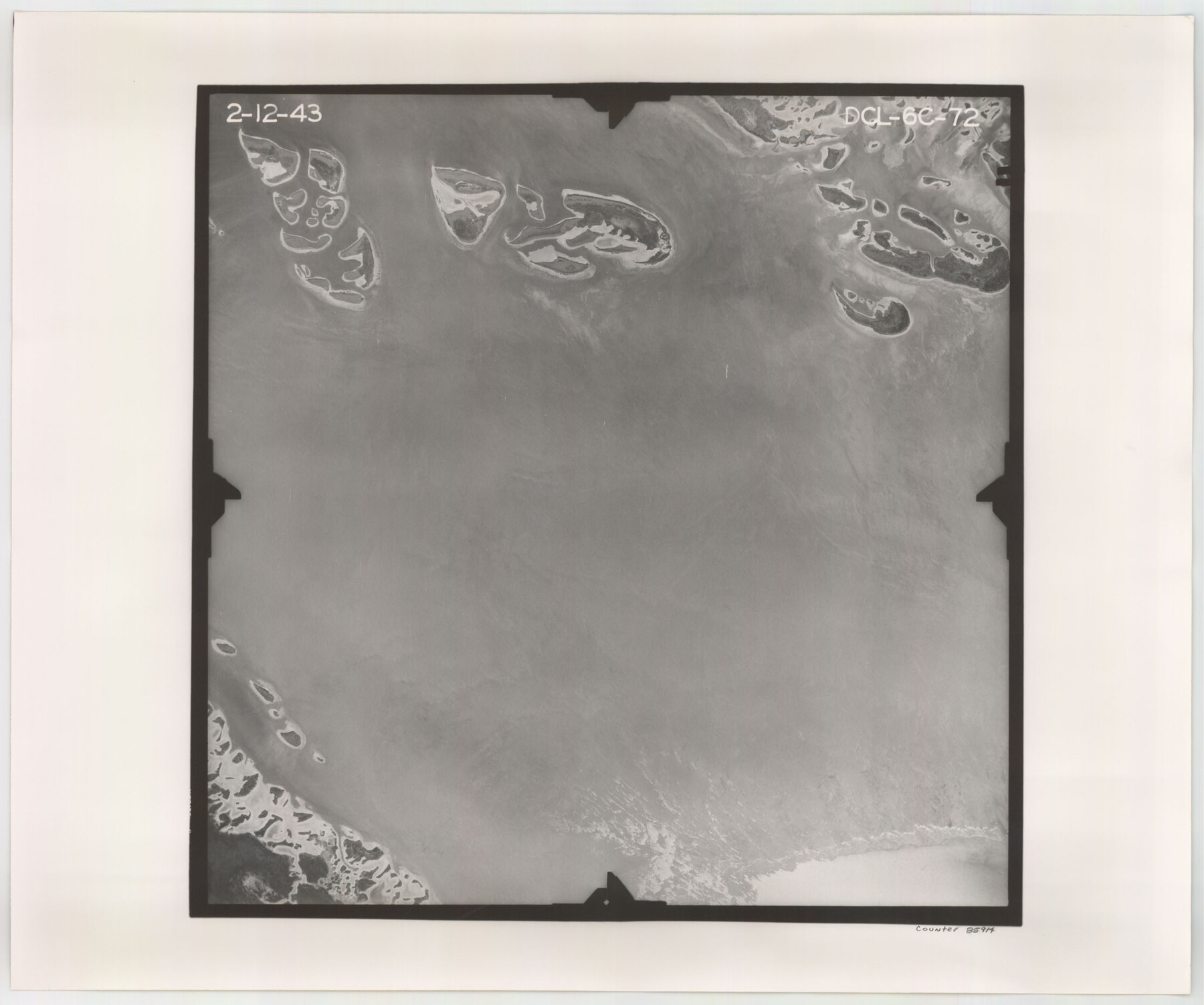
Flight Mission No. DCL-6C, Frame 72, Kenedy County
DCL-6C-72
-
Map/Doc
85914
-
Collection
General Map Collection
-
Object Dates
1943/2/12 (Creation Date)
-
People and Organizations
U. S. Department of Agriculture (Publisher)
-
Counties
Kenedy
-
Subjects
Aerial Photograph
-
Height x Width
18.6 x 22.3 inches
47.2 x 56.6 cm
-
Comments
Flown by Aerial Surveys of Pittsburgh, Inc. of Pittsburgh, Pennsylvania.
Part of: General Map Collection
Current Miscellaneous File 62

Print $64.00
- Digital $50.00
Current Miscellaneous File 62
Size 10.1 x 6.9 inches
Map/Doc 74068
Gonzales County

Print $40.00
- Digital $50.00
Gonzales County
1986
Size 41.6 x 54.7 inches
Map/Doc 73160
Briscoe County

Print $20.00
- Digital $50.00
Briscoe County
1930
Size 42.3 x 35.8 inches
Map/Doc 95439
Webb County Sketch File 9b

Print $20.00
- Digital $50.00
Webb County Sketch File 9b
1930
Size 15.9 x 16.5 inches
Map/Doc 12620
Kerr County Working Sketch 4

Print $20.00
- Digital $50.00
Kerr County Working Sketch 4
1946
Size 37.6 x 26.2 inches
Map/Doc 70035
Upton County Rolled Sketch 48

Print $20.00
- Digital $50.00
Upton County Rolled Sketch 48
1958
Size 27.8 x 27.9 inches
Map/Doc 10694
Harris County Rolled Sketch 91

Print $407.00
- Digital $50.00
Harris County Rolled Sketch 91
1981
Size 31.0 x 24.3 inches
Map/Doc 6130
Starr County Working Sketch 6

Print $20.00
- Digital $50.00
Starr County Working Sketch 6
Size 24.3 x 16.2 inches
Map/Doc 63922
Kinney County Working Sketch 59

Print $20.00
- Digital $50.00
Kinney County Working Sketch 59
1999
Size 19.9 x 24.8 inches
Map/Doc 70241
Presidio County Sketch File 76

Print $20.00
- Digital $50.00
Presidio County Sketch File 76
Size 22.0 x 18.3 inches
Map/Doc 11720
Edwards County Sketch File 23

Print $8.00
- Digital $50.00
Edwards County Sketch File 23
1881
Size 14.4 x 9.0 inches
Map/Doc 21747
Uvalde County Working Sketch 21

Print $20.00
- Digital $50.00
Uvalde County Working Sketch 21
1949
Size 21.2 x 18.2 inches
Map/Doc 72091
You may also like
Right of Way and Track Map Houston & Texas Central R.R. operated by the T. & N.O. R.R. Co., Austin Branch

Print $40.00
- Digital $50.00
Right of Way and Track Map Houston & Texas Central R.R. operated by the T. & N.O. R.R. Co., Austin Branch
1918
Size 26.0 x 58.4 inches
Map/Doc 64556
Hays County Sketch File 22

Print $4.00
- Digital $50.00
Hays County Sketch File 22
Size 8.4 x 7.3 inches
Map/Doc 26249
United States - Gulf Coast - From Latitude 26° 33' to the Rio Grande Texas

Print $20.00
- Digital $50.00
United States - Gulf Coast - From Latitude 26° 33' to the Rio Grande Texas
1913
Size 28.0 x 18.2 inches
Map/Doc 72833
Zavala County Working Sketch 10

Print $20.00
- Digital $50.00
Zavala County Working Sketch 10
1954
Size 30.4 x 38.8 inches
Map/Doc 62085
Presidio County Sketch File 83

Print $8.00
- Digital $50.00
Presidio County Sketch File 83
1949
Size 11.3 x 8.8 inches
Map/Doc 34722
Refugio County, Texas

Print $20.00
- Digital $50.00
Refugio County, Texas
1879
Size 19.9 x 29.0 inches
Map/Doc 600
Map of Jack County

Print $40.00
- Digital $50.00
Map of Jack County
1895
Size 49.7 x 37.2 inches
Map/Doc 16858
Garza County Sketch File 25a

Print $14.00
- Digital $50.00
Garza County Sketch File 25a
Size 11.4 x 8.8 inches
Map/Doc 24088
Crockett County Sketch File 10 and 11

Print $8.00
- Digital $50.00
Crockett County Sketch File 10 and 11
Size 12.6 x 7.3 inches
Map/Doc 19661
Jack County Sketch File 14

Print $8.00
- Digital $50.00
Jack County Sketch File 14
1857
Size 10.0 x 5.7 inches
Map/Doc 27539
Comanche County Working Sketch 27

Print $40.00
- Digital $50.00
Comanche County Working Sketch 27
1983
Size 50.2 x 43.5 inches
Map/Doc 68161
Flight Mission No. BQR-9K, Frame 48, Brazoria County

Print $20.00
- Digital $50.00
Flight Mission No. BQR-9K, Frame 48, Brazoria County
1952
Size 18.7 x 22.2 inches
Map/Doc 84052