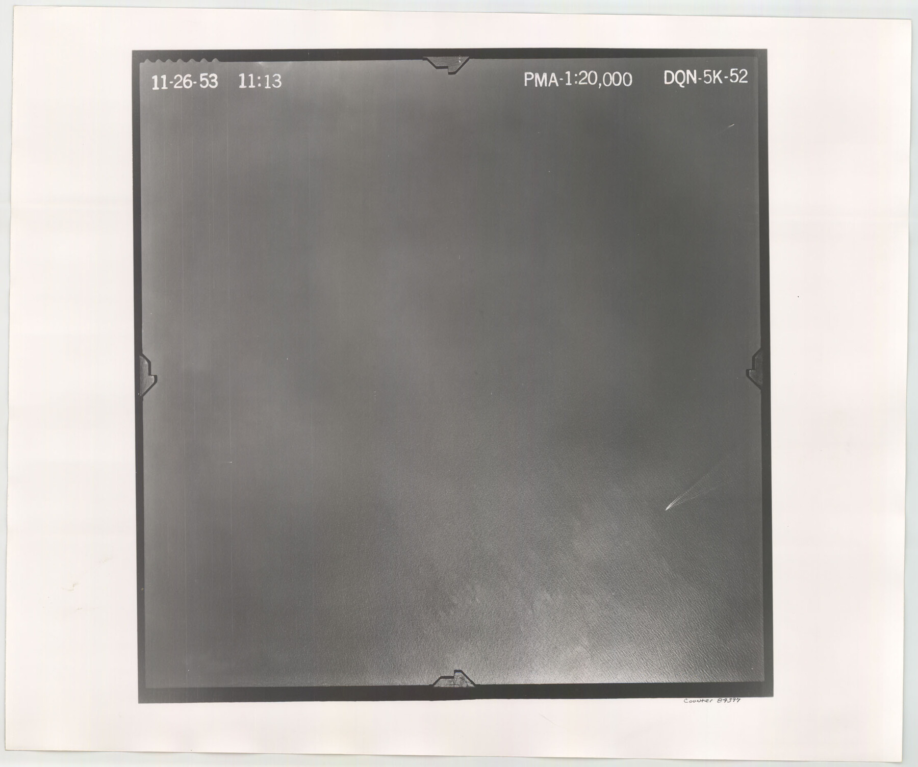
Flight Mission No. DQN-5K, Frame 52, Calhoun County
DQN-5K-52
-
Map/Doc
84397
-
Collection
General Map Collection
-
Object Dates
1953/11/26 (Creation Date)
-
People and Organizations
U. S. Department of Agriculture (Publisher)
-
Counties
Calhoun
-
Subjects
Aerial Photograph
-
Height x Width
18.6 x 22.3 inches
47.2 x 56.6 cm
-
Comments
Flown by Aero Exploration Company of Tulsa, Oklahoma.
Part of: General Map Collection
Kinney County Rolled Sketch 3

Print $20.00
- Digital $50.00
Kinney County Rolled Sketch 3
Size 31.4 x 23.2 inches
Map/Doc 6535
Flight Mission No. DQN-2K, Frame 7, Calhoun County

Print $20.00
- Digital $50.00
Flight Mission No. DQN-2K, Frame 7, Calhoun County
1953
Size 18.4 x 22.1 inches
Map/Doc 84224
Milam County Sketch File 2

Print $4.00
- Digital $50.00
Milam County Sketch File 2
1849
Size 8.0 x 12.4 inches
Map/Doc 31627
Map of the Country upon Upper Red-River explored in 1852 by Capt. R.B. Marcy 5th U.S. Infy. assisted by Bvt. Capt. G.B. McClellan U.S. Engs. under orders from the Head Quarters of the U.S. Army

Print $20.00
- Digital $50.00
Map of the Country upon Upper Red-River explored in 1852 by Capt. R.B. Marcy 5th U.S. Infy. assisted by Bvt. Capt. G.B. McClellan U.S. Engs. under orders from the Head Quarters of the U.S. Army
Size 18.7 x 36.0 inches
Map/Doc 95320
Crane County Sketch File 9

Print $20.00
- Digital $50.00
Crane County Sketch File 9
1926
Size 21.7 x 34.1 inches
Map/Doc 11208
Midland County Sketch File 9

Print $20.00
- Digital $50.00
Midland County Sketch File 9
Size 19.7 x 29.2 inches
Map/Doc 12085
Galveston County NRC Article 33.136 Sketch 74

Print $26.00
- Digital $50.00
Galveston County NRC Article 33.136 Sketch 74
2013
Size 24.0 x 36.0 inches
Map/Doc 95114
Flight Mission No. CRC-4R, Frame 163, Chambers County

Print $20.00
- Digital $50.00
Flight Mission No. CRC-4R, Frame 163, Chambers County
1956
Size 18.5 x 22.4 inches
Map/Doc 84922
Map of Webb County

Print $20.00
- Digital $50.00
Map of Webb County
1878
Size 37.0 x 26.0 inches
Map/Doc 4130
Red River County Sketch File 5

Print $4.00
- Digital $50.00
Red River County Sketch File 5
Size 7.9 x 4.8 inches
Map/Doc 35102
Marion County Working Sketch 23

Print $20.00
- Digital $50.00
Marion County Working Sketch 23
1960
Size 24.4 x 25.9 inches
Map/Doc 70799
Gregg County Rolled Sketch 15

Print $40.00
- Digital $50.00
Gregg County Rolled Sketch 15
1941
Size 42.7 x 57.1 inches
Map/Doc 9066
You may also like
General Highway Map, Angelina County, Texas

Print $20.00
General Highway Map, Angelina County, Texas
1940
Size 18.5 x 24.9 inches
Map/Doc 79003
Cass County Working Sketch 5

Print $20.00
- Digital $50.00
Cass County Working Sketch 5
1936
Size 45.6 x 43.1 inches
Map/Doc 67908
Intracoastal Waterway in Texas - Corpus Christi to Point Isabel including Arroyo Colorado to Mo. Pac. R.R. Bridge Near Harlingen

Print $20.00
- Digital $50.00
Intracoastal Waterway in Texas - Corpus Christi to Point Isabel including Arroyo Colorado to Mo. Pac. R.R. Bridge Near Harlingen
1933
Size 27.7 x 41.0 inches
Map/Doc 61857
Plan of Three Sitios of Land Granted to Vicente Micheli

Print $2.00
- Digital $50.00
Plan of Three Sitios of Land Granted to Vicente Micheli
Size 9.2 x 8.6 inches
Map/Doc 18
Eastland County Working Sketch 31

Print $20.00
- Digital $50.00
Eastland County Working Sketch 31
1955
Size 33.9 x 33.9 inches
Map/Doc 68812
Map of Refugio County

Print $20.00
- Digital $50.00
Map of Refugio County
1885
Size 19.8 x 25.9 inches
Map/Doc 3986

Hutchinson County Sketch File 41

Print $14.00
- Digital $50.00
Hutchinson County Sketch File 41
1955
Size 9.8 x 8.5 inches
Map/Doc 27298
Nueces County Sketch File 28

Print $6.00
- Digital $50.00
Nueces County Sketch File 28
Size 10.0 x 10.9 inches
Map/Doc 32596
Current Miscellaneous File 35

Print $10.00
- Digital $50.00
Current Miscellaneous File 35
Size 14.2 x 8.7 inches
Map/Doc 73947
Photostat of section of hydrographic surveys H-5399, H-4822, H-470

Print $20.00
- Digital $50.00
Photostat of section of hydrographic surveys H-5399, H-4822, H-470
1933
Size 25.9 x 18.3 inches
Map/Doc 61158
Orange County Working Sketch 12

Print $20.00
- Digital $50.00
Orange County Working Sketch 12
1922
Size 17.2 x 12.7 inches
Map/Doc 71344