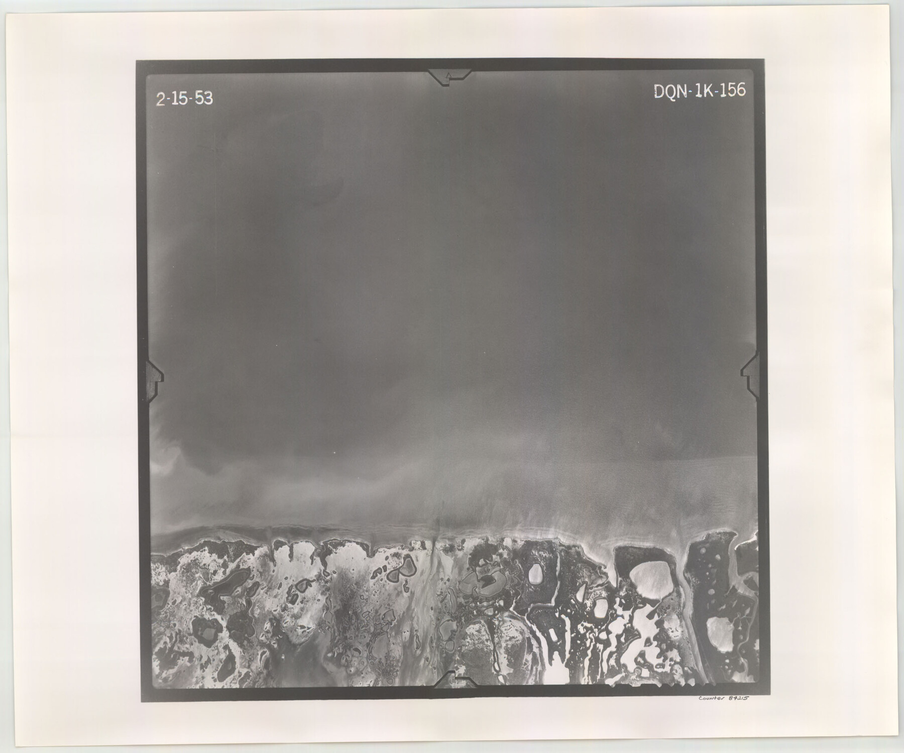
Flight Mission No. DQN-1K, Frame 156, Calhoun County
DQN-1K-156
-
Map/Doc
84215
-
Collection
General Map Collection
-
Object Dates
1953/2/15 (Creation Date)
-
People and Organizations
U. S. Department of Agriculture (Publisher)
-
Counties
Calhoun
-
Subjects
Aerial Photograph
-
Height x Width
18.6 x 22.3 inches
47.2 x 56.6 cm
-
Comments
Flown by Aero Exploration Company of Tulsa, Oklahoma.
Part of: General Map Collection
Val Verde County Working Sketch 120

Print $40.00
- Digital $50.00
Val Verde County Working Sketch 120
2005
Size 30.7 x 50.0 inches
Map/Doc 83589
La Salle County Rolled Sketch 29

Print $20.00
- Digital $50.00
La Salle County Rolled Sketch 29
1984
Size 17.9 x 17.3 inches
Map/Doc 6589
Aransas County Working Sketch 8

Print $20.00
- Digital $50.00
Aransas County Working Sketch 8
1947
Size 24.7 x 24.2 inches
Map/Doc 67175
Presidio County Sketch File 39

Print $6.00
- Digital $50.00
Presidio County Sketch File 39
1912
Size 13.3 x 8.9 inches
Map/Doc 34512
Blanco County Boundary File 4

Print $24.00
- Digital $50.00
Blanco County Boundary File 4
Size 8.9 x 8.3 inches
Map/Doc 50543
Fannin County Boundary File 9

Print $14.00
- Digital $50.00
Fannin County Boundary File 9
Size 13.2 x 8.8 inches
Map/Doc 53318
Henderson County Boundary File 2

Print $12.00
- Digital $50.00
Henderson County Boundary File 2
Size 10.6 x 8.2 inches
Map/Doc 54650
El Paso County

Print $40.00
- Digital $50.00
El Paso County
1881
Size 52.6 x 42.4 inches
Map/Doc 89058
Galveston County Rolled Sketch 20

Print $20.00
- Digital $50.00
Galveston County Rolled Sketch 20
1970
Size 35.0 x 35.0 inches
Map/Doc 9080
Van Zandt County

Print $20.00
- Digital $50.00
Van Zandt County
1870
Size 22.9 x 21.6 inches
Map/Doc 4112
San Patricio County Sketch File 28

Print $53.00
San Patricio County Sketch File 28
1935
Size 9.4 x 7.0 inches
Map/Doc 36087
Starr County Sketch File 22

Print $20.00
- Digital $50.00
Starr County Sketch File 22
1922
Size 16.4 x 35.9 inches
Map/Doc 12331
You may also like
Scurry County Sketch Mineral Application No. 42315

Print $20.00
- Digital $50.00
Scurry County Sketch Mineral Application No. 42315
1950
Size 24.2 x 16.4 inches
Map/Doc 92926
Edwards County Working Sketch 35

Print $20.00
- Digital $50.00
Edwards County Working Sketch 35
1948
Size 20.9 x 31.1 inches
Map/Doc 68911
Galveston County Rolled Sketch 50

Print $20.00
- Digital $50.00
Galveston County Rolled Sketch 50
2011
Size 23.9 x 35.8 inches
Map/Doc 95179
Clay County Sketch File 25

Print $20.00
- Digital $50.00
Clay County Sketch File 25
Size 21.1 x 16.6 inches
Map/Doc 11088
[Galveston, Harrisburg & San Antonio through El Paso County]
![64002, [Galveston, Harrisburg & San Antonio through El Paso County], General Map Collection](https://historictexasmaps.com/wmedia_w700/maps/64002.tif.jpg)
Print $20.00
- Digital $50.00
[Galveston, Harrisburg & San Antonio through El Paso County]
1907
Size 13.6 x 33.9 inches
Map/Doc 64002
Crockett County Rolled Sketch Z

Print $20.00
- Digital $50.00
Crockett County Rolled Sketch Z
Size 38.7 x 36.1 inches
Map/Doc 76182
Maverick County Rolled Sketch 21

Print $20.00
- Digital $50.00
Maverick County Rolled Sketch 21
Size 24.6 x 28.6 inches
Map/Doc 6713
Haskell County Rolled Sketch 15A

Print $3.00
- Digital $50.00
Haskell County Rolled Sketch 15A
1991
Size 11.3 x 17.1 inches
Map/Doc 6174
Gregg County Boundary File 8

Print $8.00
- Digital $50.00
Gregg County Boundary File 8
Size 14.0 x 8.6 inches
Map/Doc 54019
Map of Andrews County

Print $40.00
- Digital $50.00
Map of Andrews County
1900
Size 40.8 x 52.9 inches
Map/Doc 4780
Kinney County Sketch File 31

Print $40.00
- Digital $50.00
Kinney County Sketch File 31
1934
Size 15.3 x 13.6 inches
Map/Doc 29176
La Salle County Working Sketch 5

Print $20.00
- Digital $50.00
La Salle County Working Sketch 5
1915
Size 17.2 x 13.4 inches
Map/Doc 70306