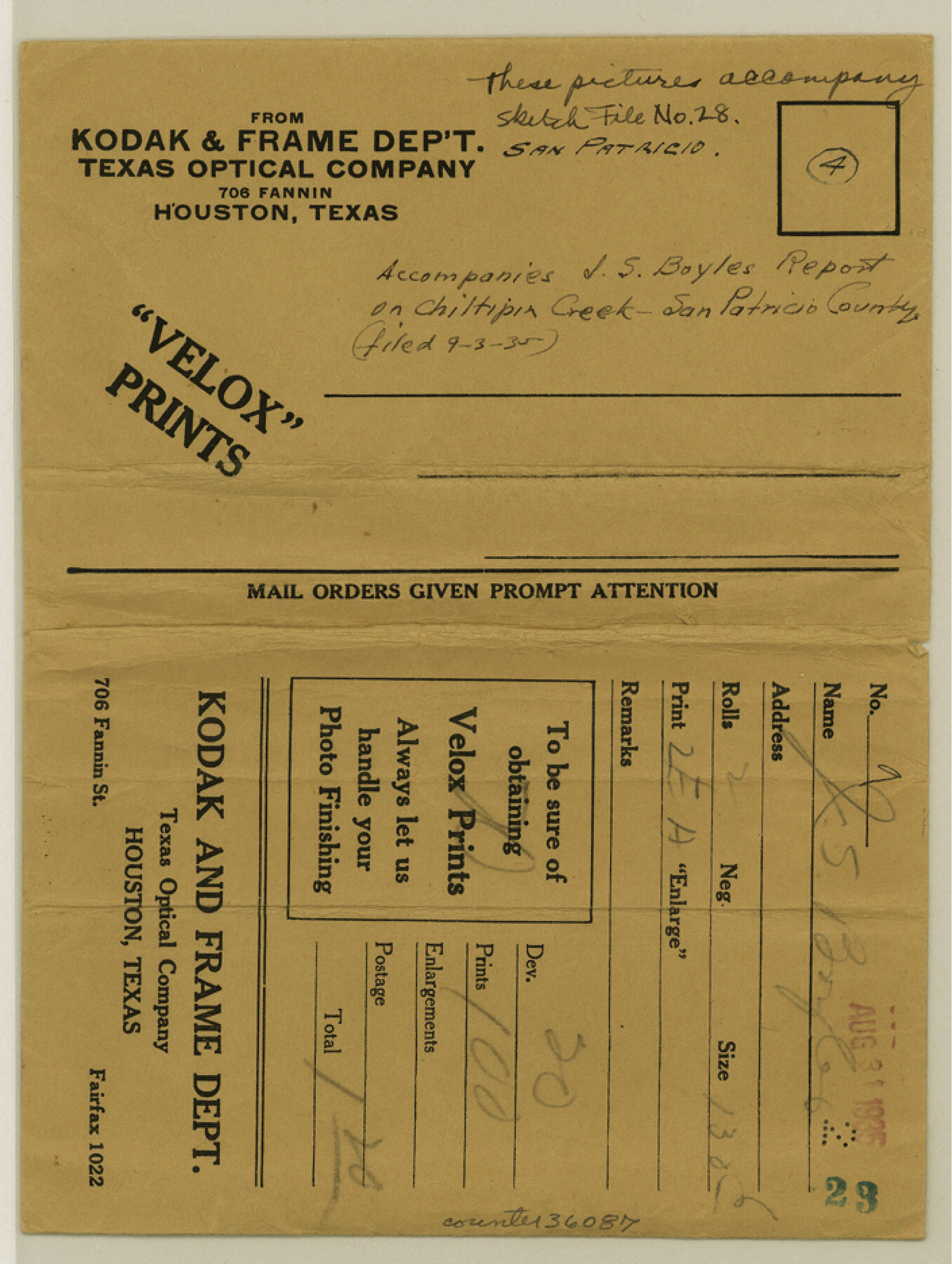
San Patricio County Sketch File 28
[Photographs and report regarding a survey of Chiltipin Creek]
-
Map/Doc
36087
-
Collection
General Map Collection
-
Object Dates
1935 (Creation Date)
9/3/1935 (File Date)
-
People and Organizations
J. Stuart Boyles (Surveyor/Engineer)
-
Counties
San Patricio
-
Subjects
Surveying Sketch File
-
Height x Width
9.4 x 7.0 inches
23.9 x 17.8 cm
-
Medium
multi-page, multi-format
-
Features
Kingsville
Southern Pacific Railroad Company
SLB&M
Caesar
Jaboncillos Creek
Ricardo
Griffin
Laguna Lagos
Corpus Christi Pass
Oso Creek
Petronilla Creek
Bishop
Placedo Junction
San Fernando Creek
T&M
San Patricio de Ibernia
Angelina
Quinta Creek
Reynolds
Alfred
Orangegrove
Corpus Christi
Driscoll
Eliza H. Welder Ranch Subdivision
Cranell
SLB&M Bridge
Ewelder
T&NO
Sabine
H&BV
Freeport
GC&SF
Matagorda
Sinton
State Highway 126
Pintas Creek
Aransas River
Chiltipin Creek
MP Bridge
Taft Farm Subdivision
Rincon Ranch Road
Welder Ranch Subdivision
Refugio Public School
Mission River
GH&SA
Port Lavaca
Copano Bay
SA&AP
Beeville
Blasconia
Blanco Creek
Mission Bay
Sauz Creek
Woodsboro
La Rosa
St. Charles Bay
Mustang Island
Refugio
Skidmore
Salinas Creek
Copano Creek
Mesquite Bay
Matagorda Island
Dagger Point
Webb Point
Hynes Bay
San Antonio Bay
Port O'Connor
Farm Lands Subdivision
St. Paul
Agua Dulce
Agua Dulce Creek
Casablanca
Live Oak Peninsula
Portland
Taft
Aransas Pass
Rockport
Clara
Payalote Creek
George H. Paul's Subdivision
Mathis
Tynan
Cornelia
Olmos Creek
Yougren
SAU&G
Clareville
Puesta
Candlish
Puesta Creek
Part of: General Map Collection
Current Miscellaneous File 119

Print $10.00
- Digital $50.00
Current Miscellaneous File 119
1990
Size 8.5 x 10.9 inches
Map/Doc 83397
Uvalde County Rolled Sketch 18

Print $20.00
- Digital $50.00
Uvalde County Rolled Sketch 18
Size 33.2 x 24.8 inches
Map/Doc 8102
Val Verde County Working Sketch 79

Print $40.00
- Digital $50.00
Val Verde County Working Sketch 79
1973
Size 51.0 x 32.4 inches
Map/Doc 72214
Real County Sketch File 6

Print $20.00
- Digital $50.00
Real County Sketch File 6
1931
Size 17.3 x 19.6 inches
Map/Doc 12229
Trinity River, Owen Crossing Sheet/Elm Fork of Trinity River

Print $20.00
- Digital $50.00
Trinity River, Owen Crossing Sheet/Elm Fork of Trinity River
1914
Size 29.1 x 31.4 inches
Map/Doc 65201
San Saba County Sketch File 14b

Print $8.00
- Digital $50.00
San Saba County Sketch File 14b
1899
Size 14.3 x 8.9 inches
Map/Doc 36448
Flight Mission No. DAG-17K, Frame 128, Matagorda County

Print $20.00
- Digital $50.00
Flight Mission No. DAG-17K, Frame 128, Matagorda County
1952
Size 18.6 x 22.3 inches
Map/Doc 86348
Flight Mission No. DQN-5K, Frame 25, Calhoun County

Print $20.00
- Digital $50.00
Flight Mission No. DQN-5K, Frame 25, Calhoun County
1953
Size 18.4 x 19.2 inches
Map/Doc 84376
Flight Mission No. DQN-1K, Frame 140, Calhoun County

Print $20.00
- Digital $50.00
Flight Mission No. DQN-1K, Frame 140, Calhoun County
1953
Size 18.5 x 22.2 inches
Map/Doc 84203
Flight Mission No. BRE-1P, Frame 121, Nueces County

Print $20.00
- Digital $50.00
Flight Mission No. BRE-1P, Frame 121, Nueces County
1956
Size 18.6 x 22.7 inches
Map/Doc 86687
Bosque County Sketch File 20

Print $4.00
- Digital $50.00
Bosque County Sketch File 20
1863
Size 11.8 x 7.7 inches
Map/Doc 14796

You may also like
Cochran County Working Sketch 5

Print $20.00
- Digital $50.00
Cochran County Working Sketch 5
Size 23.8 x 24.9 inches
Map/Doc 68016
Trinity County

Print $20.00
- Digital $50.00
Trinity County
1946
Size 42.7 x 43.2 inches
Map/Doc 95656
Flight Mission No. BQY-15M, Frame 22, Harris County

Print $20.00
- Digital $50.00
Flight Mission No. BQY-15M, Frame 22, Harris County
1953
Size 18.6 x 22.3 inches
Map/Doc 85320
Austin County Working Sketch 5

Print $20.00
- Digital $50.00
Austin County Working Sketch 5
1965
Size 23.4 x 27.8 inches
Map/Doc 67246
United States - Gulf Coast - Galveston to Rio Grande

Print $20.00
- Digital $50.00
United States - Gulf Coast - Galveston to Rio Grande
1919
Size 27.1 x 18.3 inches
Map/Doc 72745
Louisiana and Texas Intracoastal Waterway, Section 7, Galveston Bay to Brazos River and Section 8, Brazos River to Matagorda Bay

Print $20.00
- Digital $50.00
Louisiana and Texas Intracoastal Waterway, Section 7, Galveston Bay to Brazos River and Section 8, Brazos River to Matagorda Bay
1928
Size 31.3 x 42.7 inches
Map/Doc 73063
Reeves County Working Sketch 65

Print $20.00
- Digital $50.00
Reeves County Working Sketch 65
1990
Size 17.3 x 19.7 inches
Map/Doc 63508
Winkler County Working Sketch 11

Print $40.00
- Digital $50.00
Winkler County Working Sketch 11
1960
Size 28.5 x 81.4 inches
Map/Doc 72605
General Highway Map, Travis County, Texas

Print $20.00
General Highway Map, Travis County, Texas
1961
Size 18.2 x 24.7 inches
Map/Doc 79680
Duval County Working Sketch 39

Print $20.00
- Digital $50.00
Duval County Working Sketch 39
1960
Size 27.1 x 28.9 inches
Map/Doc 68763
Gaines County Working Sketch 30

Print $20.00
- Digital $50.00
Gaines County Working Sketch 30
1990
Size 18.3 x 26.4 inches
Map/Doc 69330
Travis County Sketch File 22

Print $6.00
- Digital $50.00
Travis County Sketch File 22
1875
Size 8.5 x 8.5 inches
Map/Doc 38327