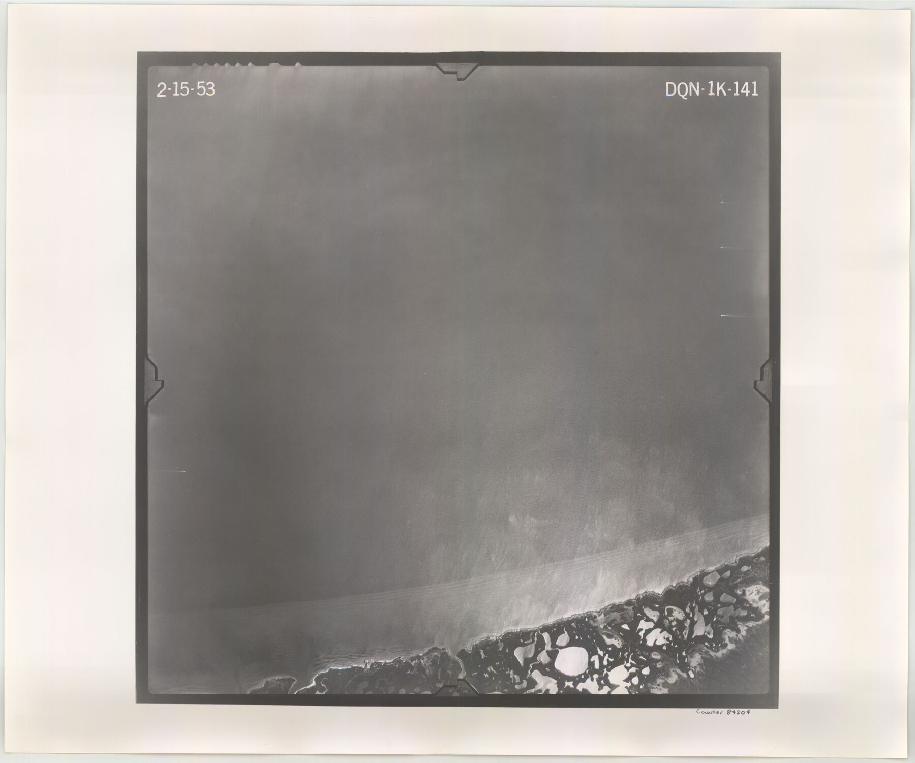
Flight Mission No. DQN-1K, Frame 141, Calhoun County
DQN-1K-141
-
Map/Doc
84204
-
Collection
General Map Collection
-
Object Dates
1953/2/15 (Creation Date)
-
People and Organizations
U. S. Department of Agriculture (Publisher)
-
Counties
Calhoun
-
Subjects
Aerial Photograph
-
Height x Width
18.5 x 22.1 inches
47.0 x 56.1 cm
-
Comments
Flown by Aero Exploration Company of Tulsa, Oklahoma.
Part of: General Map Collection
Surveys along the Leona River in the County of Bexar not yet connected with other surveys

Print $20.00
- Digital $50.00
Surveys along the Leona River in the County of Bexar not yet connected with other surveys
Size 21.8 x 28.7 inches
Map/Doc 70
Donley County

Print $20.00
- Digital $50.00
Donley County
1944
Size 46.8 x 40.6 inches
Map/Doc 95484
Chambers County NRC Article 33.136 Sketch 8

Print $22.00
- Digital $50.00
Chambers County NRC Article 33.136 Sketch 8
2014
Size 17.7 x 24.0 inches
Map/Doc 94745
Trinity County Working Sketch 15

Print $20.00
- Digital $50.00
Trinity County Working Sketch 15
1974
Size 30.5 x 32.5 inches
Map/Doc 69464
Outer Continental Shelf Leasing Maps (Louisiana Offshore Operations)

Print $20.00
- Digital $50.00
Outer Continental Shelf Leasing Maps (Louisiana Offshore Operations)
1959
Size 18.1 x 14.3 inches
Map/Doc 76110
Map of the Southwestern and part of the Western States to illustrate Olney's school geography

Print $20.00
- Digital $50.00
Map of the Southwestern and part of the Western States to illustrate Olney's school geography
1844
Size 19.0 x 12.1 inches
Map/Doc 93541
Highland Lakes 1981 in the scenic Hill Country of Central Texas

Digital $50.00
Highland Lakes 1981 in the scenic Hill Country of Central Texas
1981
Size 11.3 x 16.8 inches
Map/Doc 94174
Potter County Rolled Sketch 11

Print $20.00
- Digital $50.00
Potter County Rolled Sketch 11
1986
Size 21.6 x 27.4 inches
Map/Doc 7324
Throckmorton County Boundary File 6

Print $6.00
- Digital $50.00
Throckmorton County Boundary File 6
Size 11.4 x 8.9 inches
Map/Doc 59292
J No. 5 - Reconnaissance of San Clemente Harbor, California / Reconnaissance of Prisoner's Harbor, California / Reconnaissance of Cuyler's Harbor, Island of San Miguel, California

Print $20.00
- Digital $50.00
J No. 5 - Reconnaissance of San Clemente Harbor, California / Reconnaissance of Prisoner's Harbor, California / Reconnaissance of Cuyler's Harbor, Island of San Miguel, California
1852
Size 19.2 x 16.5 inches
Map/Doc 97234
Brazos River, Brazos River Sheet 1

Print $4.00
- Digital $50.00
Brazos River, Brazos River Sheet 1
1926
Size 21.5 x 25.4 inches
Map/Doc 65293
Lynn County Boundary File 7a

Print $8.00
- Digital $50.00
Lynn County Boundary File 7a
Size 14.3 x 8.8 inches
Map/Doc 56647
You may also like
El Paso County Rolled Sketch 52

Print $20.00
- Digital $50.00
El Paso County Rolled Sketch 52
1929
Size 18.5 x 24.5 inches
Map/Doc 5847
Duval County Working Sketch 3

Print $40.00
- Digital $50.00
Duval County Working Sketch 3
1925
Size 59.1 x 45.0 inches
Map/Doc 76444
Presidio County Working Sketch 9

Print $20.00
- Digital $50.00
Presidio County Working Sketch 9
1928
Size 40.7 x 18.5 inches
Map/Doc 71683
Map of the Missouri Pacific Railway, St. Louis, Iron Mountain and Southern R'y

Print $20.00
- Digital $50.00
Map of the Missouri Pacific Railway, St. Louis, Iron Mountain and Southern R'y
1894
Size 11.4 x 17.5 inches
Map/Doc 93950
Comal County Sketch File 15

Print $6.00
- Digital $50.00
Comal County Sketch File 15
Size 10.3 x 8.6 inches
Map/Doc 19031
Sterling County Sketch File 19

Print $8.00
- Digital $50.00
Sterling County Sketch File 19
1949
Size 11.2 x 8.6 inches
Map/Doc 37169
Atlas T - Titles to Frontier Settlers issued by the Commissioner Carlos S. Taylor

Atlas T - Titles to Frontier Settlers issued by the Commissioner Carlos S. Taylor
1834
Map/Doc 94536
Working Sketch in Dickens and Kent Counties

Print $20.00
- Digital $50.00
Working Sketch in Dickens and Kent Counties
1904
Size 24.2 x 30.5 inches
Map/Doc 91035
Texas Land Commissioner Jerry Patterson's Great Military Map of Texas showing Significant Conflicts and Events between 1685 and 1916

Print $20.00
- Digital $50.00
Texas Land Commissioner Jerry Patterson's Great Military Map of Texas showing Significant Conflicts and Events between 1685 and 1916
2006
Size 36.7 x 24.8 inches
Map/Doc 83432
Kent County Working Sketch 8

Print $20.00
- Digital $50.00
Kent County Working Sketch 8
1952
Size 27.2 x 37.1 inches
Map/Doc 70015
What to See - Where to Go in El Paso, Texas

What to See - Where to Go in El Paso, Texas
1929
Size 9.4 x 8.4 inches
Map/Doc 97048
Pecos County Working Sketch 128

Print $20.00
- Digital $50.00
Pecos County Working Sketch 128
1975
Size 20.4 x 21.5 inches
Map/Doc 71602