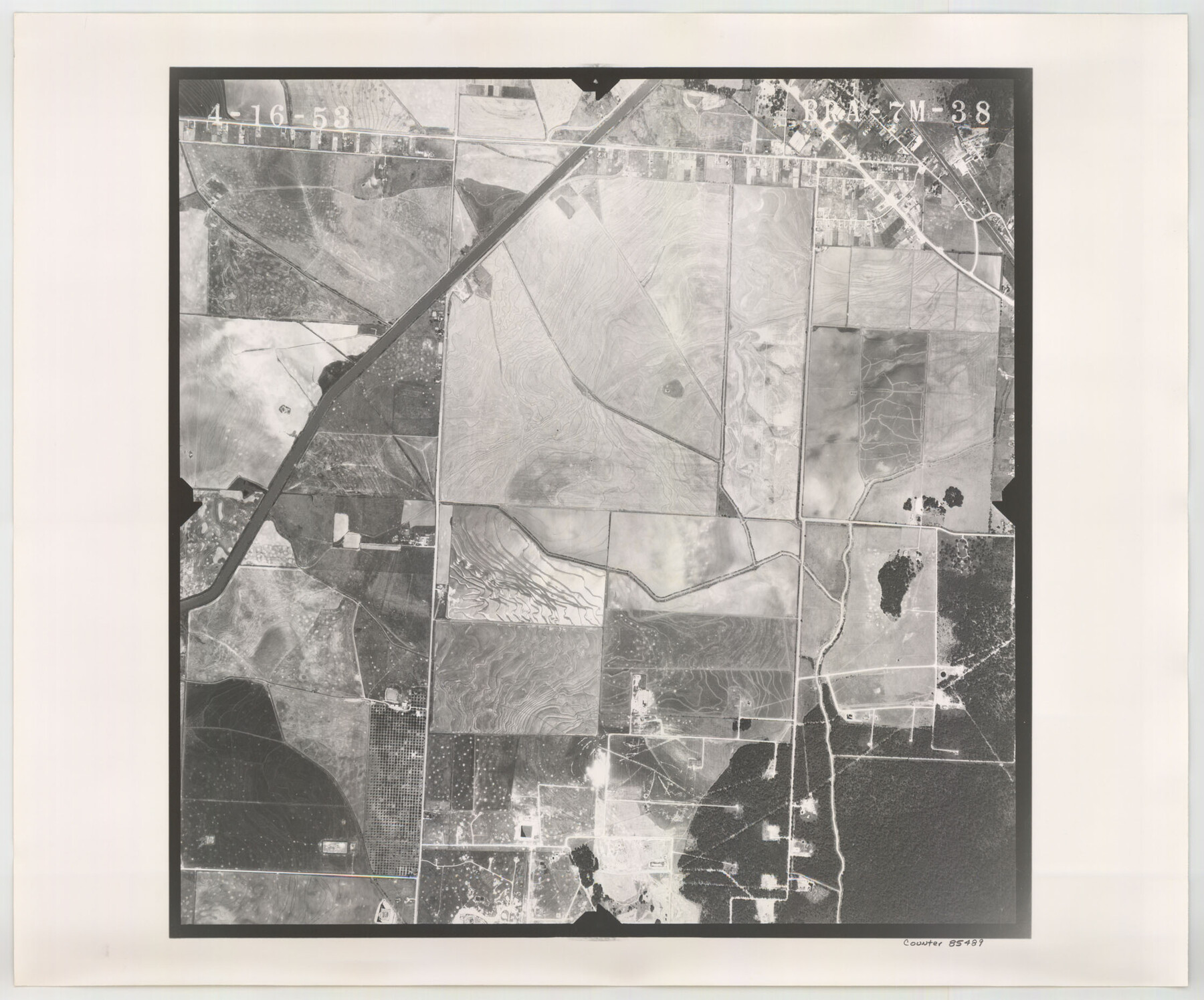
Flight Mission No. BRA-7M, Frame 38, Jefferson County
BRA-7M-38
-
Map/Doc
85489
-
Collection
General Map Collection
-
Object Dates
1953/4/16 (Creation Date)
-
People and Organizations
U. S. Department of Agriculture (Publisher)
-
Counties
Jefferson
-
Subjects
Aerial Photograph
-
Height x Width
18.6 x 22.4 inches
47.2 x 56.9 cm
-
Comments
Flown by Jack Ammann Photogrammetric Engineers of San Antonio, Texas.
Part of: General Map Collection
Stephens County Working Sketch 41

Print $40.00
- Digital $50.00
Stephens County Working Sketch 41
2008
Size 34.1 x 48.0 inches
Map/Doc 88737
Outer Continental Shelf Leasing Maps (Louisiana Offshore Operations)

Print $20.00
- Digital $50.00
Outer Continental Shelf Leasing Maps (Louisiana Offshore Operations)
1959
Size 17.8 x 14.0 inches
Map/Doc 76106
Kenedy County Working Sketch 2a

Print $20.00
- Digital $50.00
Kenedy County Working Sketch 2a
1907
Size 22.2 x 20.9 inches
Map/Doc 70003
Real County Rolled Sketch 3

Print $20.00
- Digital $50.00
Real County Rolled Sketch 3
1955
Size 14.6 x 23.3 inches
Map/Doc 7453
Cameron County Working Sketch 2

Print $40.00
- Digital $50.00
Cameron County Working Sketch 2
1937
Size 43.1 x 51.7 inches
Map/Doc 67881
Flight Mission No. CRC-4R, Frame 77, Chambers County

Print $20.00
- Digital $50.00
Flight Mission No. CRC-4R, Frame 77, Chambers County
1956
Size 18.9 x 22.5 inches
Map/Doc 84881
Atlas Geográfico, Estadístico é Histórico de la República Mexicana

Atlas Geográfico, Estadístico é Histórico de la República Mexicana
Map/Doc 95689
Bee County Working Sketch 9

Print $20.00
- Digital $50.00
Bee County Working Sketch 9
1940
Size 15.6 x 16.8 inches
Map/Doc 67259
Uvalde County Working Sketch 7

Print $20.00
- Digital $50.00
Uvalde County Working Sketch 7
1942
Size 29.2 x 30.0 inches
Map/Doc 72077
Harris County Working Sketch 96

Print $20.00
- Digital $50.00
Harris County Working Sketch 96
1978
Size 18.2 x 26.6 inches
Map/Doc 65988
San Augustine County Sketch File 23

Print $12.00
San Augustine County Sketch File 23
1992
Size 14.5 x 9.0 inches
Map/Doc 35689
No. 2 Chart of Corpus Christi Pass, Texas

Print $20.00
- Digital $50.00
No. 2 Chart of Corpus Christi Pass, Texas
1878
Size 18.3 x 27.4 inches
Map/Doc 73015
You may also like
Marion County Working Sketch Graphic Index, Sheet 2 (Sketches 27 to Most Recent)

Print $20.00
- Digital $50.00
Marion County Working Sketch Graphic Index, Sheet 2 (Sketches 27 to Most Recent)
1943
Size 26.5 x 44.9 inches
Map/Doc 76630
Working Sketch Armstrong County

Print $20.00
- Digital $50.00
Working Sketch Armstrong County
Size 29.3 x 21.2 inches
Map/Doc 90274
Flight Mission No. CRC-4R, Frame 183, Chambers County

Print $20.00
- Digital $50.00
Flight Mission No. CRC-4R, Frame 183, Chambers County
1956
Size 18.5 x 22.2 inches
Map/Doc 84934
Harris County Working Sketch 123

Print $20.00
- Digital $50.00
Harris County Working Sketch 123
1993
Size 19.5 x 17.0 inches
Map/Doc 66015
Pecos County Working Sketch 87

Print $20.00
- Digital $50.00
Pecos County Working Sketch 87
1962
Size 29.0 x 31.6 inches
Map/Doc 71559
Flight Mission No. DCL-7C, Frame 95, Kenedy County

Print $20.00
- Digital $50.00
Flight Mission No. DCL-7C, Frame 95, Kenedy County
1943
Size 15.4 x 15.2 inches
Map/Doc 86067
Capitol Lands Surveyed by J. T. Munson

Print $20.00
- Digital $50.00
Capitol Lands Surveyed by J. T. Munson
Size 25.8 x 19.4 inches
Map/Doc 90597
Kerr County Working Sketch 9

Print $20.00
- Digital $50.00
Kerr County Working Sketch 9
1949
Size 31.6 x 33.0 inches
Map/Doc 70040
San Jacinto County Working Sketch 30

Print $20.00
- Digital $50.00
San Jacinto County Working Sketch 30
Size 18.2 x 24.4 inches
Map/Doc 63743
Liberty County Rolled Sketch M

Print $40.00
- Digital $50.00
Liberty County Rolled Sketch M
1953
Size 23.6 x 56.6 inches
Map/Doc 10651
Fort Worth, Tarrant Co[unty], Texas
![89081, Fort Worth, Tarrant Co[unty], Texas, Non-GLO Digital Images](https://historictexasmaps.com/wmedia_w700/maps/89081.tif.jpg)
Print $20.00
Fort Worth, Tarrant Co[unty], Texas
1876
Size 14.9 x 18.0 inches
Map/Doc 89081
Van Zandt County Sketch File 26

Print $4.00
- Digital $50.00
Van Zandt County Sketch File 26
1858
Size 6.7 x 7.9 inches
Map/Doc 39445