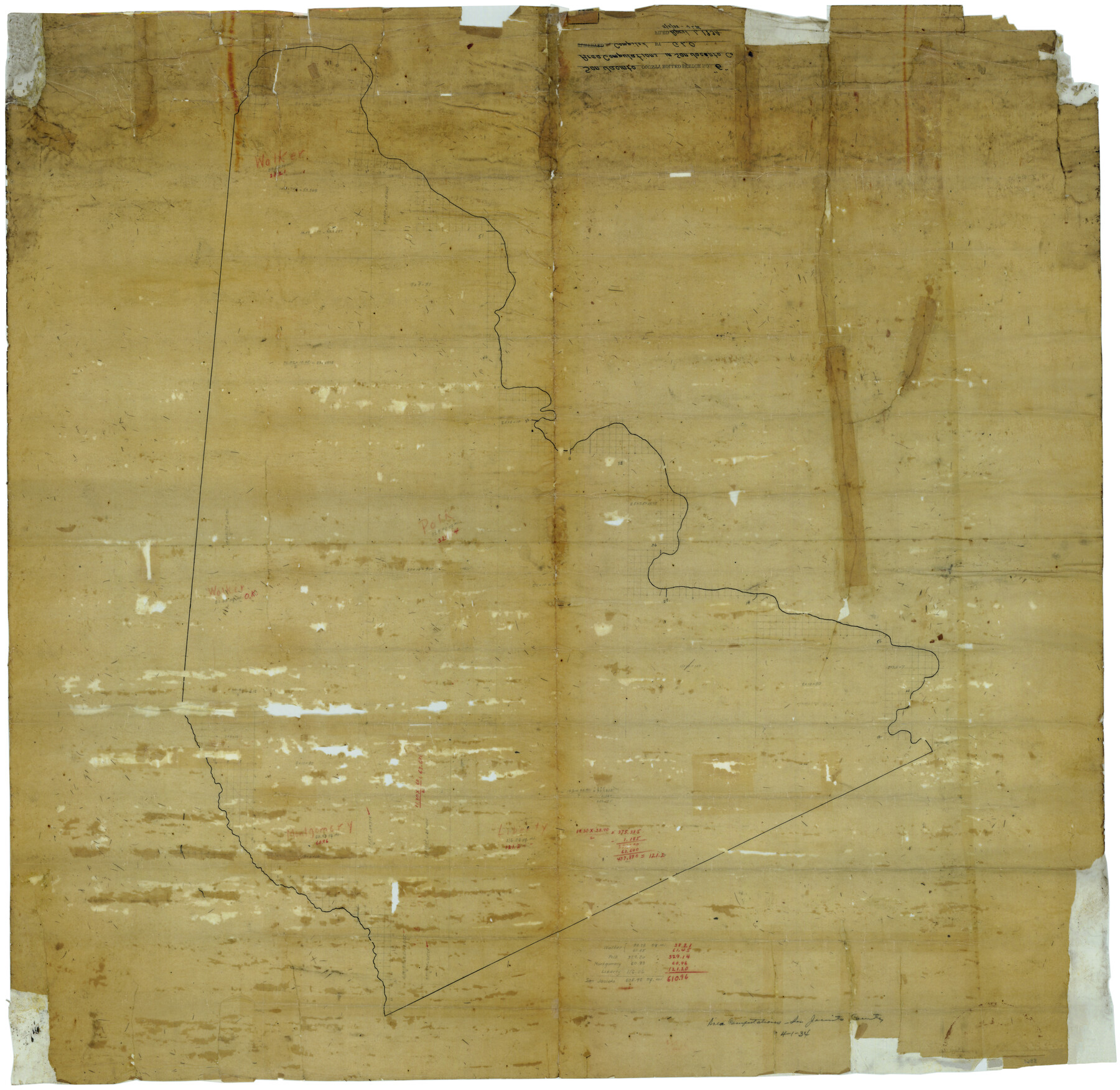
San Jacinto County Rolled Sketch 6
[Area computations in San Jacinto County]
-
Map/Doc
8361
-
Collection
General Map Collection
-
Object Dates
4/1/1934 (File Date)
-
Counties
San Jacinto
-
Subjects
Surveying Rolled Sketch
-
Height x Width
42.1 x 43.5 inches
106.9 x 110.5 cm
-
Medium
paper, manuscript
Part of: General Map Collection
Louisiana and Texas Intracoastal Waterway - Dredging Tributary Channel, Port Aransas to Aransas Pass, Texas

Print $20.00
- Digital $50.00
Louisiana and Texas Intracoastal Waterway - Dredging Tributary Channel, Port Aransas to Aransas Pass, Texas
1940
Size 31.1 x 42.3 inches
Map/Doc 61820
Zavala County Working Sketch 12

Print $20.00
- Digital $50.00
Zavala County Working Sketch 12
1956
Size 31.5 x 30.2 inches
Map/Doc 62087
Fayette County Boundary File 3

Print $29.00
- Digital $50.00
Fayette County Boundary File 3
Size 14.4 x 9.0 inches
Map/Doc 53348
Railroad Track Map, T&PRRCo., Culberson County, Texas

Print $4.00
- Digital $50.00
Railroad Track Map, T&PRRCo., Culberson County, Texas
1910
Size 11.7 x 18.6 inches
Map/Doc 62829

Map of Brewster County

Print $20.00
- Digital $50.00
Map of Brewster County
1939
Size 24.5 x 19.5 inches
Map/Doc 3329
Chambers County Sketch File 17

Print $40.00
- Digital $50.00
Chambers County Sketch File 17
1878
Size 12.4 x 15.6 inches
Map/Doc 17567
A Map of Dallas County

Print $20.00
- Digital $50.00
A Map of Dallas County
1854
Size 20.9 x 16.6 inches
Map/Doc 4526
Brooks County Sketch File 3b

Print $12.00
- Digital $50.00
Brooks County Sketch File 3b
1939
Size 14.3 x 9.1 inches
Map/Doc 16544
Tarrant County Boundary File 4 and 4a

Print $6.00
- Digital $50.00
Tarrant County Boundary File 4 and 4a
Size 11.5 x 9.0 inches
Map/Doc 59151
[Surveys in the Victoria District along the Guadalupe and Coleto Rivers]
![21, [Surveys in the Victoria District along the Guadalupe and Coleto Rivers], General Map Collection](https://historictexasmaps.com/wmedia_w700/maps/21.tif.jpg)
Print $20.00
- Digital $50.00
[Surveys in the Victoria District along the Guadalupe and Coleto Rivers]
1840
Size 26.0 x 19.6 inches
Map/Doc 21
Flight Mission No. BRA-16M, Frame 77, Jefferson County

Print $20.00
- Digital $50.00
Flight Mission No. BRA-16M, Frame 77, Jefferson County
1953
Size 18.6 x 22.3 inches
Map/Doc 85694
You may also like
Texas and Northern Mexico

Print $20.00
- Digital $50.00
Texas and Northern Mexico
1925
Size 21.0 x 28.3 inches
Map/Doc 95900
Hood County Sketch File 25

Print $12.00
- Digital $50.00
Hood County Sketch File 25
1958
Size 11.3 x 8.9 inches
Map/Doc 26623
Flight Mission No. CRE-1R, Frame 192, Jackson County

Print $20.00
- Digital $50.00
Flight Mission No. CRE-1R, Frame 192, Jackson County
1956
Size 18.5 x 22.3 inches
Map/Doc 85346
Lavaca County Sketch File 10

Print $4.00
- Digital $50.00
Lavaca County Sketch File 10
1890
Size 7.5 x 11.5 inches
Map/Doc 29648
Hays County Sketch File 10

Print $4.00
- Digital $50.00
Hays County Sketch File 10
1862
Size 8.2 x 10.7 inches
Map/Doc 26214

A Geological Map of the United States and Canada

Print $20.00
A Geological Map of the United States and Canada
1853
Size 17.4 x 25.0 inches
Map/Doc 95189
DeWitt County Sketch File 6

Print $24.00
- Digital $50.00
DeWitt County Sketch File 6
1872
Size 9.8 x 8.5 inches
Map/Doc 20805
Parts of Garza and Lynn Counties

Print $20.00
- Digital $50.00
Parts of Garza and Lynn Counties
1925
Size 23.1 x 17.0 inches
Map/Doc 91341
Harris County Rolled Sketch 98

Print $20.00
- Digital $50.00
Harris County Rolled Sketch 98
1992
Size 27.1 x 39.5 inches
Map/Doc 6136
Central America Past and Present

Central America Past and Present
1986
Size 20.6 x 31.6 inches
Map/Doc 96839
Frio County Rolled Sketch 14

Print $20.00
- Digital $50.00
Frio County Rolled Sketch 14
1949
Size 25.3 x 32.9 inches
Map/Doc 5921