University Land Field Notes for Blocks K, L, M, and N in Hudspeth County
University Field Notes
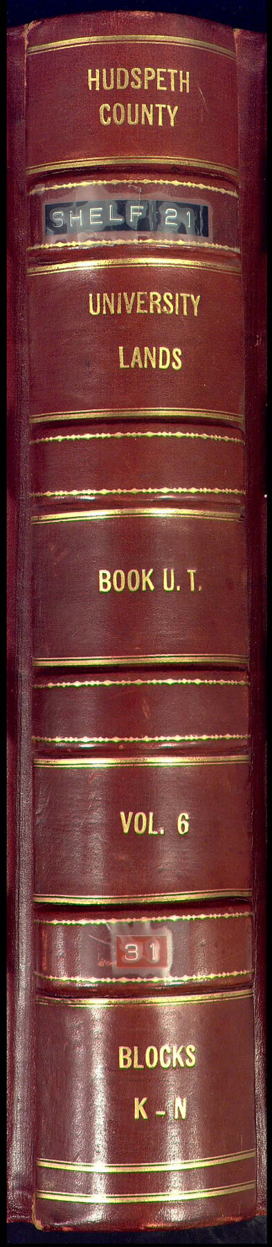
Hudspeth County University Lands Book U.T., Vol. 6, Blocks K-N
-
Map/Doc
81713
-
Collection
General Map Collection
-
People and Organizations
O.W. Williams (Surveyor/Engineer)
J.H. Walker (GLO Commissioner)
Frank F. Friend (Surveyor/Engineer)
-
Counties
Hudspeth
-
Subjects
Bound Volume University Land
-
Medium
paper, bound volume
-
Comments
Also includes "Report of a Survey, University Lands, Hudspeth County" by Frank F. Friend.
See 97177 for an index to the University Land field note volumes.
Related maps
University Land Field Note Volume Index

University Land Field Note Volume Index
2023
Size 8.5 x 11.0 inches
Map/Doc 97177
Part of: General Map Collection
Borden County Sketch File 6

Print $8.00
- Digital $50.00
Borden County Sketch File 6
1900
Size 11.2 x 8.7 inches
Map/Doc 14719
Sutton County Rolled Sketch 60

Print $20.00
- Digital $50.00
Sutton County Rolled Sketch 60
1964
Size 23.5 x 34.7 inches
Map/Doc 7897
Bexar County Sketch File 47

Print $40.00
- Digital $50.00
Bexar County Sketch File 47
1896
Size 9.9 x 19.6 inches
Map/Doc 10925
Galveston County Working Sketch 8

Print $20.00
- Digital $50.00
Galveston County Working Sketch 8
1939
Size 43.4 x 39.6 inches
Map/Doc 69345
Nueces County Rolled Sketch 46

Print $45.00
- Digital $50.00
Nueces County Rolled Sketch 46
Size 10.2 x 15.1 inches
Map/Doc 47859
[Sketch for Mineral Application 33721 - 33725 Incl. - Padre and Mustang Island]
![2877, [Sketch for Mineral Application 33721 - 33725 Incl. - Padre and Mustang Island], General Map Collection](https://historictexasmaps.com/wmedia_w700/maps/2877.tif.jpg)
Print $20.00
- Digital $50.00
[Sketch for Mineral Application 33721 - 33725 Incl. - Padre and Mustang Island]
1942
Size 29.8 x 22.6 inches
Map/Doc 2877
Galveston County Working Sketch 16

Print $20.00
- Digital $50.00
Galveston County Working Sketch 16
1980
Size 30.5 x 36.9 inches
Map/Doc 69353
Flight Mission No. DAG-28K, Frame 23, Matagorda County

Print $20.00
- Digital $50.00
Flight Mission No. DAG-28K, Frame 23, Matagorda County
1953
Size 18.6 x 22.5 inches
Map/Doc 86591
Flight Mission No. BRA-16M, Frame 87, Jefferson County

Print $20.00
- Digital $50.00
Flight Mission No. BRA-16M, Frame 87, Jefferson County
1953
Size 18.6 x 22.3 inches
Map/Doc 85699
Brazoria County Rolled Sketch 21A

Print $20.00
- Digital $50.00
Brazoria County Rolled Sketch 21A
Size 38.6 x 33.2 inches
Map/Doc 8926
San Patricio County Working Sketch 17

Print $20.00
- Digital $50.00
San Patricio County Working Sketch 17
1953
Size 32.9 x 26.8 inches
Map/Doc 63779
McLennan County Sketch File 21

Print $4.00
- Digital $50.00
McLennan County Sketch File 21
Size 9.0 x 8.2 inches
Map/Doc 31294
You may also like
Chart showing the relative positions of the lights in the Eighth Light House District extending from Cedar Keys, Florida to Rio Grande, Texas

Print $20.00
- Digital $50.00
Chart showing the relative positions of the lights in the Eighth Light House District extending from Cedar Keys, Florida to Rio Grande, Texas
1876
Size 24.7 x 18.2 inches
Map/Doc 72680
Flight Mission No. DAG-22K, Frame 87, Matagorda County

Print $20.00
- Digital $50.00
Flight Mission No. DAG-22K, Frame 87, Matagorda County
1953
Size 18.6 x 22.4 inches
Map/Doc 86471
Sutton County Sketch File 44

Print $6.00
- Digital $50.00
Sutton County Sketch File 44
1939
Size 11.3 x 8.7 inches
Map/Doc 37512
Brazoria County Boundary File 2

Print $140.00
- Digital $50.00
Brazoria County Boundary File 2
Size 12.8 x 9.8 inches
Map/Doc 50704
Flight Mission No. DAG-18K, Frame 180, Matagorda County

Print $20.00
- Digital $50.00
Flight Mission No. DAG-18K, Frame 180, Matagorda County
1952
Size 18.6 x 22.3 inches
Map/Doc 86372
Harris County Rolled Sketch 100

Print $20.00
- Digital $50.00
Harris County Rolled Sketch 100
2002
Size 24.2 x 36.9 inches
Map/Doc 77535
[Blocks B16, B7, B15]
![93130, [Blocks B16, B7, B15], Twichell Survey Records](https://historictexasmaps.com/wmedia_w700/maps/93130-1.tif.jpg)
Print $40.00
- Digital $50.00
[Blocks B16, B7, B15]
Size 57.2 x 51.5 inches
Map/Doc 93130
Tyler County Sketch File 7

Print $4.00
- Digital $50.00
Tyler County Sketch File 7
1874
Size 13.4 x 7.7 inches
Map/Doc 38637
Flight Mission No. CLL-3N, Frame 19, Willacy County

Print $20.00
- Digital $50.00
Flight Mission No. CLL-3N, Frame 19, Willacy County
1954
Size 18.4 x 22.1 inches
Map/Doc 87085

Current Miscellaneous File 115

Print $16.00
- Digital $50.00
Current Miscellaneous File 115
1950
Size 11.3 x 8.8 inches
Map/Doc 74811
Map of Concho County

Print $20.00
- Digital $50.00
Map of Concho County
1879
Size 23.4 x 18.3 inches
Map/Doc 4523