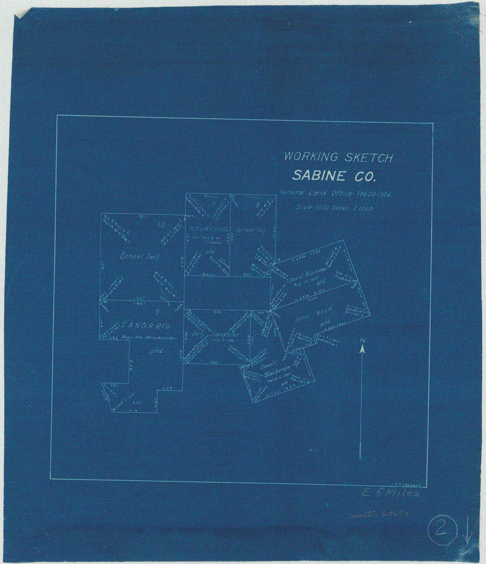
Sabine County Working Sketch 2
-
Map/Doc
63673
-
Collection
General Map Collection
-
Object Dates
2/20/1906 (Creation Date)
-
People and Organizations
Frank R. Sweeney (Draftsman)
-
Counties
Sabine
-
Subjects
Surveying Working Sketch
-
Height x Width
12.5 x 10.8 inches
31.8 x 27.4 cm
-
Scale
1" = 1000 varas
Part of: General Map Collection
Guadalupe County Working Sketch 9

Print $20.00
- Digital $50.00
Guadalupe County Working Sketch 9
1955
Size 21.9 x 12.6 inches
Map/Doc 63318
Crockett County Working Sketch 46

Print $20.00
- Digital $50.00
Crockett County Working Sketch 46
1935
Size 32.9 x 27.4 inches
Map/Doc 68379
University Lands as resurveyed by Frank F. Friend, Special Surveyor, San Angelo, Texas projected on a map of the State of Texas

Print $40.00
- Digital $50.00
University Lands as resurveyed by Frank F. Friend, Special Surveyor, San Angelo, Texas projected on a map of the State of Texas
1936
Size 31.0 x 55.8 inches
Map/Doc 2418
Harris County Sketch File 58

Print $20.00
- Digital $50.00
Harris County Sketch File 58
1920
Size 27.6 x 21.4 inches
Map/Doc 11657
Crockett County Rolled Sketch 28

Print $20.00
- Digital $50.00
Crockett County Rolled Sketch 28
1884
Size 42.5 x 25.8 inches
Map/Doc 5587

Flight Mission No. CRC-2R, Frame 192, Chambers County

Print $20.00
- Digital $50.00
Flight Mission No. CRC-2R, Frame 192, Chambers County
1956
Size 18.6 x 22.3 inches
Map/Doc 84770
Andrews County Boundary File 2c

Print $70.00
- Digital $50.00
Andrews County Boundary File 2c
Size 14.6 x 9.2 inches
Map/Doc 49709
Van Zandt County Sketch File 4

Print $6.00
- Digital $50.00
Van Zandt County Sketch File 4
1858
Size 10.7 x 11.1 inches
Map/Doc 39369
E. N. Gustafson's survey of Northern Portion of Lake Austin, Matagorda Co., TX

Print $40.00
- Digital $50.00
E. N. Gustafson's survey of Northern Portion of Lake Austin, Matagorda Co., TX
1926
Size 43.0 x 52.5 inches
Map/Doc 2068

Webb County Rolled Sketch 25

Print $20.00
- Digital $50.00
Webb County Rolled Sketch 25
Size 28.4 x 42.4 inches
Map/Doc 8185
You may also like
Pecos County Working Sketch 93

Print $40.00
- Digital $50.00
Pecos County Working Sketch 93
1966
Size 32.1 x 71.5 inches
Map/Doc 71566
Map of McClennan County

Print $20.00
- Digital $50.00
Map of McClennan County
1855
Size 22.7 x 24.7 inches
Map/Doc 3860
Webb County Working Sketch 24

Print $20.00
- Digital $50.00
Webb County Working Sketch 24
1928
Size 24.5 x 23.9 inches
Map/Doc 72389
Flight Mission No. DQO-11K, Frame 15, Galveston County

Print $20.00
- Digital $50.00
Flight Mission No. DQO-11K, Frame 15, Galveston County
1952
Size 18.7 x 22.3 inches
Map/Doc 85208
Harbor of Brazos Santiago, Texas

Print $20.00
- Digital $50.00
Harbor of Brazos Santiago, Texas
1887
Size 27.1 x 18.1 inches
Map/Doc 72991
Edwards County

Print $20.00
- Digital $50.00
Edwards County
1893
Size 26.7 x 30.2 inches
Map/Doc 4650
Blanco County Rolled Sketch 3

Print $20.00
- Digital $50.00
Blanco County Rolled Sketch 3
Size 14.8 x 13.5 inches
Map/Doc 5142
[Blocks 3, 5 & Q]
![91275, [Blocks 3, 5 & Q], Twichell Survey Records](https://historictexasmaps.com/wmedia_w700/maps/91275-1.tif.jpg)
Print $20.00
- Digital $50.00
[Blocks 3, 5 & Q]
Size 19.4 x 9.2 inches
Map/Doc 91275

Galveston County NRC Article 33.136 Sketch 41

Print $28.00
- Digital $50.00
Galveston County NRC Article 33.136 Sketch 41
2006
Size 29.8 x 42.4 inches
Map/Doc 83074
Right of Way Location Map, San Antonio & Aransas Pass, Station 656…

Print $4.00
- Digital $50.00
Right of Way Location Map, San Antonio & Aransas Pass, Station 656…
1919
Size 11.8 x 18.6 inches
Map/Doc 62567
Flight Mission No. CGI-3N, Frame 125, Cameron County

Print $20.00
- Digital $50.00
Flight Mission No. CGI-3N, Frame 125, Cameron County
1954
Size 18.6 x 22.2 inches
Map/Doc 84598