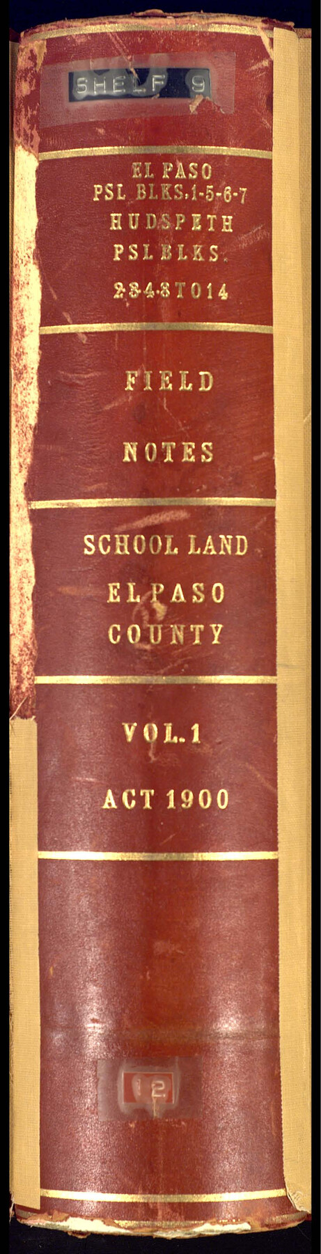
PSL Field Notes for Blocks 1, 5, 6, and 7 in El Paso County and Blocks 2, 3, 4, 8, 9, 10, 11, 12, 13, and 14 in Hudspeth County
-
Map/Doc
81653
-
Collection
General Map Collection
-
People and Organizations
Charles Rogan (GLO Commissioner)
A.H. Parker (Surveyor/Engineer)
W.L. Rider (Surveyor/Engineer)
-
Counties
El Paso Hudspeth
-
Subjects
Bound Volume Public School Land
-
Medium
paper, bound volume
-
Comments
See the following surveying items related to this PSL field note volume: Hudspeth County Rolled Sketch 23; Hudspeth County Sketch Files 1, 2, 7, 9, 10, 12, and 36.
See 97176 for an index to the Public School Land field note volumes.
Related maps
Hudspeth County Sketch File 1

Print $8.00
- Digital $50.00
Hudspeth County Sketch File 1
1900
Size 11.3 x 8.8 inches
Map/Doc 26880
Hudspeth County Sketch File 2

Print $10.00
- Digital $50.00
Hudspeth County Sketch File 2
1900
Size 13.4 x 8.6 inches
Map/Doc 26884
Hudspeth County Sketch File 7

Print $6.00
- Digital $50.00
Hudspeth County Sketch File 7
1900
Size 14.2 x 8.7 inches
Map/Doc 26892
Hudspeth County Sketch File 9

Print $8.00
- Digital $50.00
Hudspeth County Sketch File 9
1900
Size 11.3 x 8.8 inches
Map/Doc 26895
Hudspeth County Sketch File 10

Print $4.00
- Digital $50.00
Hudspeth County Sketch File 10
1900
Size 11.2 x 8.8 inches
Map/Doc 26899
Hudspeth County Sketch File 12

Print $10.00
- Digital $50.00
Hudspeth County Sketch File 12
1901
Size 14.2 x 8.7 inches
Map/Doc 26924
Hudspeth County Sketch File 36

Print $12.00
- Digital $50.00
Hudspeth County Sketch File 36
1901
Size 10.5 x 8.2 inches
Map/Doc 27003
Hudspeth County Rolled Sketch 23

Print $40.00
- Digital $50.00
Hudspeth County Rolled Sketch 23
Size 43.7 x 70.3 inches
Map/Doc 9207
Public School Land Field Note Volume Index

Public School Land Field Note Volume Index
2023
Size 8.5 x 11.0 inches
Map/Doc 97176
Part of: General Map Collection
Matagorda County Rolled Sketch 29

Print $20.00
- Digital $50.00
Matagorda County Rolled Sketch 29
1936
Size 36.6 x 27.2 inches
Map/Doc 6691
Hunt County Sketch File 1

Print $4.00
- Digital $50.00
Hunt County Sketch File 1
1853
Size 7.6 x 5.1 inches
Map/Doc 27081
San Jacinto County Working Sketch 38

Print $40.00
- Digital $50.00
San Jacinto County Working Sketch 38
1966
Size 41.5 x 55.9 inches
Map/Doc 63751
Map of Bandera County

Print $40.00
- Digital $50.00
Map of Bandera County
1885
Size 33.5 x 64.7 inches
Map/Doc 4771
Cooke County Sketch File 9a

Print $4.00
- Digital $50.00
Cooke County Sketch File 9a
Size 8.2 x 9.4 inches
Map/Doc 19240
El Paso County Working Sketch 42

Print $20.00
- Digital $50.00
El Paso County Working Sketch 42
Size 24.6 x 26.6 inches
Map/Doc 69064
Flight Mission No. DQO-7K, Frame 105, Galveston County

Print $20.00
- Digital $50.00
Flight Mission No. DQO-7K, Frame 105, Galveston County
1952
Size 18.4 x 21.8 inches
Map/Doc 85120
Crane County Sketch File 22

Print $20.00
- Digital $50.00
Crane County Sketch File 22
1930
Size 30.6 x 31.1 inches
Map/Doc 10344
[Bastrop District]
![83006, [Bastrop District], General Map Collection](https://historictexasmaps.com/wmedia_w700/maps/83006-1.tif.jpg)
Print $40.00
- Digital $50.00
[Bastrop District]
1895
Size 71.8 x 52.3 inches
Map/Doc 83006
Newton County Working Sketch 4

Print $20.00
- Digital $50.00
Newton County Working Sketch 4
1924
Size 24.1 x 21.0 inches
Map/Doc 71250
Brazoria County Sketch File 16

Print $16.00
- Digital $50.00
Brazoria County Sketch File 16
1893
Size 9.4 x 4.3 inches
Map/Doc 14981
Baylor County Sketch File A6

Print $80.00
- Digital $50.00
Baylor County Sketch File A6
1899
Size 22.5 x 31.7 inches
Map/Doc 10912
You may also like
The Land Offices. No. 1, Red River, December 22, 1836

Print $20.00
The Land Offices. No. 1, Red River, December 22, 1836
2020
Size 13.7 x 21.7 inches
Map/Doc 96414
Red River County Sketch File 3

Print $4.00
- Digital $50.00
Red River County Sketch File 3
Size 10.4 x 8.3 inches
Map/Doc 35098
Spence Addition Owned by L.N. Goldbeck and Herman Pressler - A Subdivision of Outlot 43, Division "O"

Print $20.00
- Digital $50.00
Spence Addition Owned by L.N. Goldbeck and Herman Pressler - A Subdivision of Outlot 43, Division "O"
1913
Size 15.4 x 12.8 inches
Map/Doc 632
Childress County

Print $20.00
- Digital $50.00
Childress County
1883
Size 20.6 x 17.4 inches
Map/Doc 3393
Real County Working Sketch 58

Print $20.00
- Digital $50.00
Real County Working Sketch 58
1962
Size 24.7 x 28.5 inches
Map/Doc 71950
Gulf Oil Corp. Fishgide - Port O'Connor

Gulf Oil Corp. Fishgide - Port O'Connor
1960
Size 12.2 x 22.3 inches
Map/Doc 75983
Working Sketch in Travis County

Print $20.00
- Digital $50.00
Working Sketch in Travis County
1923
Size 15.4 x 18.6 inches
Map/Doc 91866
Kansas and Nebraska

Print $20.00
- Digital $50.00
Kansas and Nebraska
Size 30.8 x 19.4 inches
Map/Doc 93994
Goliad County Sketch File 28

Print $20.00
- Digital $50.00
Goliad County Sketch File 28
Size 18.9 x 15.5 inches
Map/Doc 11569
Robertson County Sketch File 6

Print $4.00
Robertson County Sketch File 6
1870
Size 8.9 x 7.6 inches
Map/Doc 35362
Hardin County Sketch File 9a

Print $4.00
- Digital $50.00
Hardin County Sketch File 9a
1860
Size 9.9 x 8.4 inches
Map/Doc 25108
Sutton County Rolled Sketch 47

Print $20.00
- Digital $50.00
Sutton County Rolled Sketch 47
Size 17.0 x 24.3 inches
Map/Doc 7888