PSL Field Notes for Blocks A19, A20, A22, A23, A26, A28, A29, A30, A31, A32, A33, A34, A35, A36, A37, A38, A39, A40, A41 in Andrews County
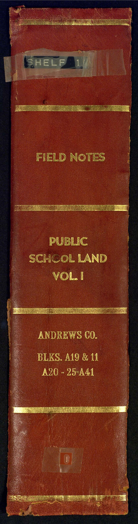
Field Notes, Public School Land Vol. 1, Andrews County Blocks A19 and 11, A20-25 and A41
-
Map/Doc
81642
-
Collection
General Map Collection
-
People and Organizations
Charles Rogan (GLO Commissioner)
Robt. E. Estes (Surveyor/Engineer)
D. Boone (Surveyor/Engineer)
W.D. Twichell (Surveyor/Engineer)
-
Counties
Andrews
-
Subjects
Bound Volume Public School Land
-
Medium
paper, bound volume
-
Comments
See 97176 for an index to the Public School Land field note volumes.
Related maps
Public School Land Field Note Volume Index

Public School Land Field Note Volume Index
2023
Size 8.5 x 11.0 inches
Map/Doc 97176
Part of: General Map Collection
Webb County Sketch File 1a

Print $20.00
- Digital $50.00
Webb County Sketch File 1a
1871
Size 23.3 x 18.0 inches
Map/Doc 12623
Comanche County Sketch File 10

Print $4.00
- Digital $50.00
Comanche County Sketch File 10
1859
Size 8.4 x 16.0 inches
Map/Doc 19070
Marion County Working Sketch 35

Print $20.00
- Digital $50.00
Marion County Working Sketch 35
1985
Size 27.3 x 28.2 inches
Map/Doc 70811
Garza County Sketch File 15

Print $20.00
- Digital $50.00
Garza County Sketch File 15
1902
Size 16.8 x 14.7 inches
Map/Doc 11545
McLennan County Working Sketch 6

Print $20.00
- Digital $50.00
McLennan County Working Sketch 6
1957
Size 26.7 x 24.8 inches
Map/Doc 70699
Harris County Working Sketch 100

Print $20.00
- Digital $50.00
Harris County Working Sketch 100
1979
Size 29.9 x 31.3 inches
Map/Doc 65992
Township No. 5 South Range No. 12 West of the Indian Meridian

Print $4.00
- Digital $50.00
Township No. 5 South Range No. 12 West of the Indian Meridian
1875
Size 18.1 x 22.6 inches
Map/Doc 75159
Flight Mission No. CLL-3N, Frame 43, Willacy County

Print $20.00
- Digital $50.00
Flight Mission No. CLL-3N, Frame 43, Willacy County
1954
Size 18.3 x 22.0 inches
Map/Doc 87101
Panola County Sketch File 14

Print $4.00
- Digital $50.00
Panola County Sketch File 14
1873
Size 12.2 x 5.2 inches
Map/Doc 33472
Upton County Sketch File 7

Print $4.00
- Digital $50.00
Upton County Sketch File 7
Size 14.4 x 8.9 inches
Map/Doc 38820

Hays County Working Sketch 22

Print $20.00
- Digital $50.00
Hays County Working Sketch 22
2000
Size 47.1 x 36.9 inches
Map/Doc 76051
You may also like
Crockett County Rolled Sketch 97

Print $20.00
- Digital $50.00
Crockett County Rolled Sketch 97
2013
Size 22.9 x 24.8 inches
Map/Doc 93664
Flight Mission No. BRE-1P, Frame 97, Nueces County

Print $20.00
- Digital $50.00
Flight Mission No. BRE-1P, Frame 97, Nueces County
1956
Size 18.3 x 22.0 inches
Map/Doc 86668
The Republic County of Colorado. Spring 1842

Print $20.00
The Republic County of Colorado. Spring 1842
2020
Size 18.4 x 21.7 inches
Map/Doc 96126
Cameron County Aerial Photograph Index Sheet 4

Print $20.00
- Digital $50.00
Cameron County Aerial Photograph Index Sheet 4
1955
Size 19.3 x 17.4 inches
Map/Doc 83676
Part of Laguna Madre in Cameron County, showing Subdivision for Mineral Development

Print $20.00
- Digital $50.00
Part of Laguna Madre in Cameron County, showing Subdivision for Mineral Development
1953
Size 33.0 x 21.9 inches
Map/Doc 1927
Flight Mission No. DQO-12K, Frame 34, Galveston County

Print $20.00
- Digital $50.00
Flight Mission No. DQO-12K, Frame 34, Galveston County
1952
Size 18.8 x 22.5 inches
Map/Doc 85225
Donley County Sketch File 6

Print $16.00
- Digital $50.00
Donley County Sketch File 6
1881
Size 12.9 x 8.5 inches
Map/Doc 21230
Galveston / Texas City, Texas Street Map

Galveston / Texas City, Texas Street Map
2000
Size 36.1 x 24.2 inches
Map/Doc 96855
Jasper County Sketch File 31

Print $20.00
- Digital $50.00
Jasper County Sketch File 31
Size 21.6 x 24.7 inches
Map/Doc 11852
[Map of Portion of Pecos County as Surveyed by F. F. Friend]
![91562, [Map of Portion of Pecos County as Surveyed by F. F. Friend], Twichell Survey Records](https://historictexasmaps.com/wmedia_w700/maps/91562-1.tif.jpg)
Print $3.00
- Digital $50.00
[Map of Portion of Pecos County as Surveyed by F. F. Friend]
1926
Size 17.0 x 11.4 inches
Map/Doc 91562
[H. & T. C. Block 34 and PSL Block B-19]
![91948, [H. & T. C. Block 34 and PSL Block B-19], Twichell Survey Records](https://historictexasmaps.com/wmedia_w700/maps/91948-1.tif.jpg)
Print $20.00
- Digital $50.00
[H. & T. C. Block 34 and PSL Block B-19]
Size 30.6 x 30.6 inches
Map/Doc 91948
1938 Tydol Trails New York

Print $20.00
- Digital $50.00
1938 Tydol Trails New York
1938
Size 27.2 x 31.8 inches
Map/Doc 97111