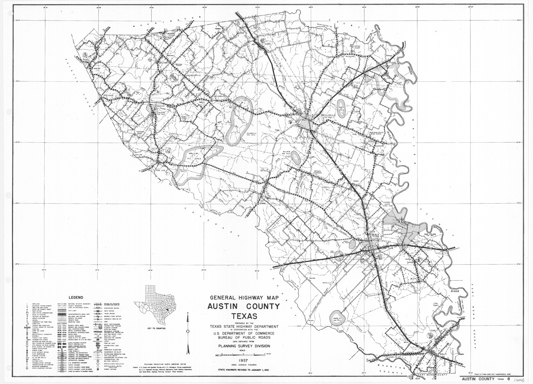
General Highway Map, Austin County, Texas
-
Map/Doc
79357
-
Collection
Texas State Library and Archives
-
Object Dates
1961 (Creation Date)
-
People and Organizations
Texas State Highway Department (Publisher)
-
Counties
Austin
-
Subjects
County
-
Height x Width
18.1 x 25.1 inches
46.0 x 63.8 cm
-
Comments
Prints available courtesy of the Texas State Library and Archives.
More info can be found here: TSLAC Map 05042
Part of: Texas State Library and Archives
General Highway Map, Wilbarger County, Texas

Print $20.00
General Highway Map, Wilbarger County, Texas
1961
Size 24.9 x 18.2 inches
Map/Doc 79710
General Highway Map, El Paso County, Texas

Print $20.00
General Highway Map, El Paso County, Texas
1961
Size 18.2 x 24.8 inches
Map/Doc 79458
Map of Texas Compiled from surveys recorded in the General Land Office

Print $20.00
Map of Texas Compiled from surveys recorded in the General Land Office
1851
Size 31.4 x 25.3 inches
Map/Doc 76209
General Highway Map, Tom Green County, Texas

Print $20.00
General Highway Map, Tom Green County, Texas
1961
Size 18.4 x 25.0 inches
Map/Doc 79678
General Highway Map, Kimble County, Texas

Print $20.00
General Highway Map, Kimble County, Texas
1940
Size 24.8 x 18.3 inches
Map/Doc 79160
General Highway Map, Harris County, Texas

Print $20.00
General Highway Map, Harris County, Texas
1961
Size 24.7 x 18.0 inches
Map/Doc 79501
General Highway Map. Detail of Cities and Towns in Lubbock County, Texas [Lubbock and vicinity]
![79181, General Highway Map. Detail of Cities and Towns in Lubbock County, Texas [Lubbock and vicinity], Texas State Library and Archives](https://historictexasmaps.com/wmedia_w700/maps/79181.tif.jpg)
Print $20.00
General Highway Map. Detail of Cities and Towns in Lubbock County, Texas [Lubbock and vicinity]
1940
Size 18.3 x 24.8 inches
Map/Doc 79181
Preliminary Chart of San Luis Pass, Texas

Print $20.00
Preliminary Chart of San Luis Pass, Texas
1853
Size 16.4 x 21.2 inches
Map/Doc 76251
Correct Map of the Railway and Steamship Lines operated by the Southern Pacific Company

Print $20.00
Correct Map of the Railway and Steamship Lines operated by the Southern Pacific Company
1894
Size 17.1 x 40.1 inches
Map/Doc 79322
Preliminary Sketch of Galveston Bay, Texas

Print $20.00
Preliminary Sketch of Galveston Bay, Texas
1852
Size 22.6 x 18.3 inches
Map/Doc 79317
General Highway Map, Liberty County, Texas

Print $20.00
General Highway Map, Liberty County, Texas
1961
Size 18.1 x 24.6 inches
Map/Doc 79571
General Highway Map, Kerr County, Texas

Print $20.00
General Highway Map, Kerr County, Texas
1961
Size 24.6 x 18.2 inches
Map/Doc 79552
You may also like
Cameron County Boundary File 5

Print $8.00
- Digital $50.00
Cameron County Boundary File 5
Size 8.8 x 15.3 inches
Map/Doc 51113
Culberson County Working Sketch 11

Print $20.00
- Digital $50.00
Culberson County Working Sketch 11
1920
Size 29.6 x 22.9 inches
Map/Doc 68463

[Sections 63-70 Block 47 and part of Block 3]
![91792, [Sections 63-70 Block 47 and part of Block 3], Twichell Survey Records](https://historictexasmaps.com/wmedia_w700/maps/91792-1.tif.jpg)
Print $2.00
- Digital $50.00
[Sections 63-70 Block 47 and part of Block 3]
Size 8.9 x 14.5 inches
Map/Doc 91792
Sketch of Survey 3, Block 1 in Dickens and King Counties

Print $20.00
- Digital $50.00
Sketch of Survey 3, Block 1 in Dickens and King Counties
1914
Size 10.0 x 27.5 inches
Map/Doc 10765
[Map of Matagorda County]
![3841, [Map of Matagorda County], General Map Collection](https://historictexasmaps.com/wmedia_w700/maps/3841.tif.jpg)
Print $20.00
- Digital $50.00
[Map of Matagorda County]
Size 24.4 x 25.6 inches
Map/Doc 3841
[Sketch for Mineral Application 26501 - Sabine River, T. A. Oldhausen]
![2838, [Sketch for Mineral Application 26501 - Sabine River, T. A. Oldhausen], General Map Collection](https://historictexasmaps.com/wmedia_w700/maps/2838.tif.jpg)
Print $20.00
- Digital $50.00
[Sketch for Mineral Application 26501 - Sabine River, T. A. Oldhausen]
1931
Size 24.3 x 36.1 inches
Map/Doc 2838
El Paso County Rolled Sketch 62

Print $20.00
- Digital $50.00
El Paso County Rolled Sketch 62
Size 30.0 x 39.4 inches
Map/Doc 5854
El Paso County Rolled Sketch 48

Print $20.00
- Digital $50.00
El Paso County Rolled Sketch 48
1960
Size 15.4 x 18.3 inches
Map/Doc 5834
Presidio County Rolled Sketch 68

Print $20.00
- Digital $50.00
Presidio County Rolled Sketch 68
1927
Size 11.8 x 24.4 inches
Map/Doc 7358
Jefferson County Sketch File 44

Print $20.00
- Digital $50.00
Jefferson County Sketch File 44
1917
Size 22.8 x 32.9 inches
Map/Doc 11878
Presidio County Sketch File 48

Print $6.00
- Digital $50.00
Presidio County Sketch File 48
1918
Size 15.1 x 11.0 inches
Map/Doc 34582