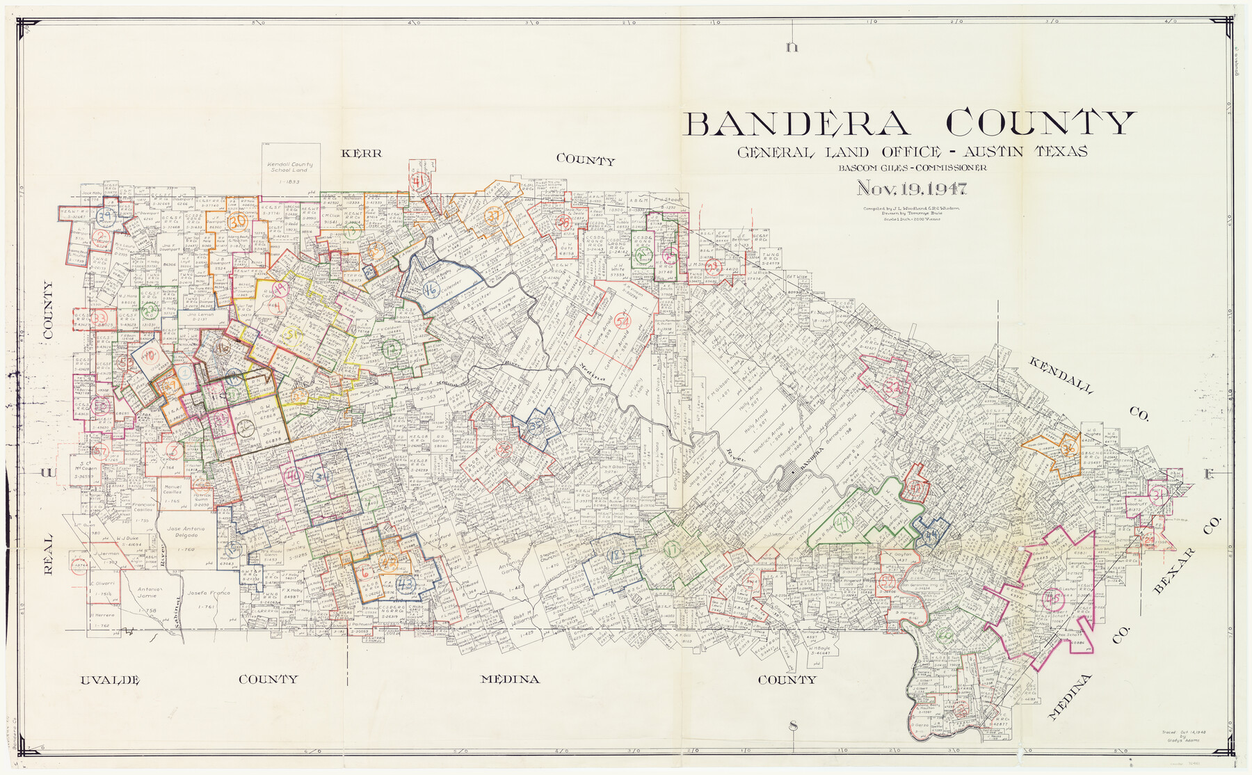
Bandera County Working Sketch Graphic Index
-
Map/Doc
76461
-
Collection
General Map Collection
-
Object Dates
11/19/1947 (Creation Date)
-
People and Organizations
J.L. Woodland (Compiler)
R.C. Wisdom (Compiler)
Tommye Buie (Draftsman)
-
Counties
Bandera
-
Subjects
County Surveying Working Sketch
-
Height x Width
33.5 x 53.8 inches
85.1 x 136.7 cm
-
Scale
1" = 2000 varas
Part of: General Map Collection
Drainage Basins of Texas Streams

Print $20.00
- Digital $50.00
Drainage Basins of Texas Streams
Size 35.3 x 42.0 inches
Map/Doc 65270
Andrews County Working Sketch Graphic Index

Print $40.00
- Digital $50.00
Andrews County Working Sketch Graphic Index
1951
Size 41.3 x 53.7 inches
Map/Doc 76453
Dickens County Sketch File 33

Print $10.00
- Digital $50.00
Dickens County Sketch File 33
1947
Size 14.5 x 9.1 inches
Map/Doc 21025

Reeves County Working Sketch 19

Print $20.00
- Digital $50.00
Reeves County Working Sketch 19
1962
Size 42.3 x 42.7 inches
Map/Doc 63462
Terrell County Working Sketch 14

Print $20.00
- Digital $50.00
Terrell County Working Sketch 14
1926
Size 39.4 x 44.9 inches
Map/Doc 62163
Flight Mission No. DCL-7C, Frame 75, Kenedy County

Print $20.00
- Digital $50.00
Flight Mission No. DCL-7C, Frame 75, Kenedy County
1943
Size 15.3 x 15.2 inches
Map/Doc 86061
Atascosa County Rolled Sketch 22

Print $40.00
- Digital $50.00
Atascosa County Rolled Sketch 22
1917
Size 26.3 x 57.2 inches
Map/Doc 8434
Duval County Rolled Sketch 25

Print $20.00
- Digital $50.00
Duval County Rolled Sketch 25
1944
Size 31.3 x 27.7 inches
Map/Doc 8813
Eastland County Sketch File 22

Print $33.00
- Digital $50.00
Eastland County Sketch File 22
1964
Size 11.0 x 17.0 inches
Map/Doc 21626
Gaines County Working Sketch 21

Print $20.00
- Digital $50.00
Gaines County Working Sketch 21
1970
Size 37.8 x 45.4 inches
Map/Doc 69321
Glasscock County Sketch File 16

Print $6.00
- Digital $50.00
Glasscock County Sketch File 16
1935
Size 14.4 x 10.9 inches
Map/Doc 24186
You may also like
Flight Mission No. BRA-16M, Frame 183, Jefferson County

Print $20.00
- Digital $50.00
Flight Mission No. BRA-16M, Frame 183, Jefferson County
1953
Size 18.7 x 22.5 inches
Map/Doc 85781
Midland County Working Sketch 2

Print $20.00
- Digital $50.00
Midland County Working Sketch 2
Size 40.4 x 25.2 inches
Map/Doc 70982
Bee County Sketch File 4a

Print $4.00
- Digital $50.00
Bee County Sketch File 4a
Size 7.1 x 8.5 inches
Map/Doc 14270
Bosque County Sketch File 12

Print $4.00
- Digital $50.00
Bosque County Sketch File 12
1863
Size 12.7 x 8.2 inches
Map/Doc 14761
Gonzales County

Print $40.00
- Digital $50.00
Gonzales County
1986
Size 39.9 x 52.0 inches
Map/Doc 77292
Cochran County

Print $20.00
- Digital $50.00
Cochran County
1913
Size 29.1 x 20.0 inches
Map/Doc 4743
Louisiana and Texas Intracoastal Waterway Proposed Extension to Rio Grande Valley

Print $20.00
- Digital $50.00
Louisiana and Texas Intracoastal Waterway Proposed Extension to Rio Grande Valley
1941
Size 28.0 x 41.3 inches
Map/Doc 61892
[Randall County School Land League 152 and vicinity]
![92999, [Randall County School Land League 152 and vicinity], Twichell Survey Records](https://historictexasmaps.com/wmedia_w700/maps/92999-1.tif.jpg)
Print $2.00
- Digital $50.00
[Randall County School Land League 152 and vicinity]
1949
Size 5.8 x 7.5 inches
Map/Doc 92999
Map of Navarro County, Texas

Print $20.00
- Digital $50.00
Map of Navarro County, Texas
1871
Size 23.5 x 28.7 inches
Map/Doc 662
Culberson County Rolled Sketch 53

Print $20.00
- Digital $50.00
Culberson County Rolled Sketch 53
1968
Size 36.7 x 47.2 inches
Map/Doc 8756
Travis County Rolled Sketch 26

Print $20.00
- Digital $50.00
Travis County Rolled Sketch 26
1945
Size 24.6 x 25.2 inches
Map/Doc 8028
Newton County Sketch File 46

Print $18.00
- Digital $50.00
Newton County Sketch File 46
1962
Size 11.2 x 8.6 inches
Map/Doc 32451