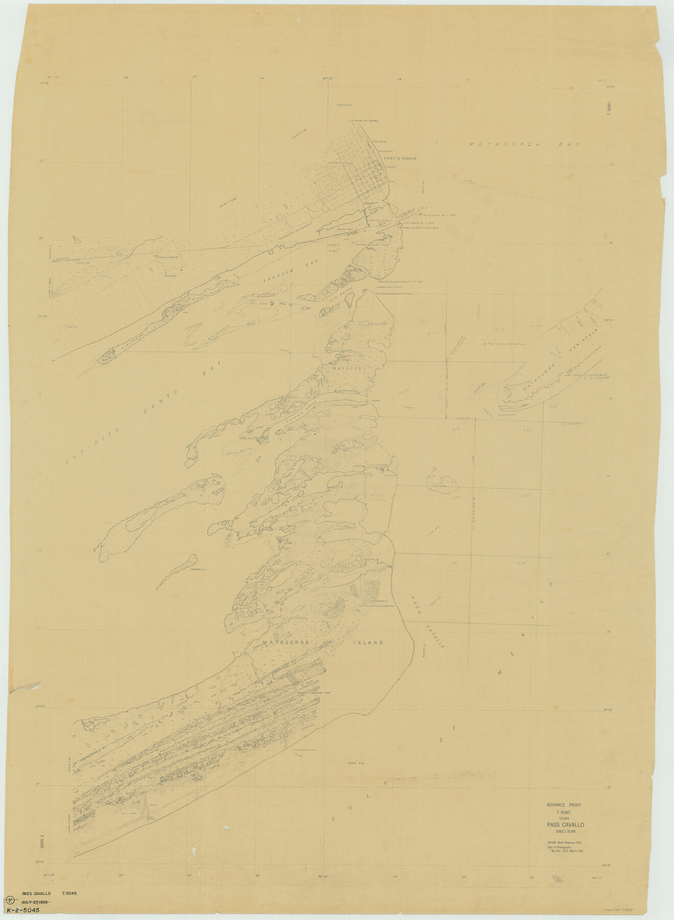
Pass Cavallo
K-2-5045
-
Map/Doc
73377
-
Collection
General Map Collection
-
Object Dates
1936/7/27 (Creation Date)
-
Counties
Matagorda Calhoun
-
Subjects
Nautical Charts
-
Height x Width
43.2 x 31.7 inches
109.7 x 80.5 cm
Part of: General Map Collection
Hudspeth County Working Sketch 2

Print $20.00
- Digital $50.00
Hudspeth County Working Sketch 2
1912
Size 22.3 x 17.7 inches
Map/Doc 66283
Blanco County Rolled Sketch 14

Print $20.00
- Digital $50.00
Blanco County Rolled Sketch 14
Size 26.0 x 19.7 inches
Map/Doc 5150
Lynn County Sketch File 13

Print $18.00
- Digital $50.00
Lynn County Sketch File 13
1903
Size 10.6 x 8.1 inches
Map/Doc 30482
Topographical Map of the Rio Grande, Sheet No. 22

Print $20.00
- Digital $50.00
Topographical Map of the Rio Grande, Sheet No. 22
1912
Map/Doc 89546
Coryell County Working Sketch 18

Print $20.00
- Digital $50.00
Coryell County Working Sketch 18
1965
Size 24.6 x 34.3 inches
Map/Doc 68225
Atascosa County Rolled Sketch 22

Print $40.00
- Digital $50.00
Atascosa County Rolled Sketch 22
1917
Size 26.1 x 57.2 inches
Map/Doc 8918
Brewster County Rolled Sketch 52

Print $20.00
- Digital $50.00
Brewster County Rolled Sketch 52
1930
Size 15.3 x 41.4 inches
Map/Doc 61782
Reagan County Rolled Sketch 9

Print $20.00
- Digital $50.00
Reagan County Rolled Sketch 9
1937
Size 29.7 x 30.9 inches
Map/Doc 7437
Coast Chart No. 210 - Aransas Pass and Corpus Christi Bay with the coast to latitude 27° 12', Texas

Print $20.00
- Digital $50.00
Coast Chart No. 210 - Aransas Pass and Corpus Christi Bay with the coast to latitude 27° 12', Texas
1913
Size 18.1 x 23.4 inches
Map/Doc 73455
Map of Carson County

Print $20.00
- Digital $50.00
Map of Carson County
1898
Size 41.2 x 33.8 inches
Map/Doc 4750
Refugio District

Print $20.00
- Digital $50.00
Refugio District
1855
Size 30.7 x 34.7 inches
Map/Doc 2139
Bosque County Sketch File 26

Print $4.00
- Digital $50.00
Bosque County Sketch File 26
1868
Size 8.1 x 7.5 inches
Map/Doc 14811
You may also like
Map of San Jacinto County

Print $20.00
- Digital $50.00
Map of San Jacinto County
1872
Size 22.0 x 18.6 inches
Map/Doc 1346
Galveston County Sketch File 21

Print $4.00
- Digital $50.00
Galveston County Sketch File 21
1838
Size 13.3 x 8.3 inches
Map/Doc 23392
Map of Denton County

Print $20.00
- Digital $50.00
Map of Denton County
1896
Size 25.6 x 22.0 inches
Map/Doc 11311

Hidalgo County Working Sketch 9

Print $20.00
- Digital $50.00
Hidalgo County Working Sketch 9
1984
Size 27.2 x 15.0 inches
Map/Doc 66186
Cameron County Rolled Sketch Z1

Print $20.00
- Digital $50.00
Cameron County Rolled Sketch Z1
1937
Size 23.4 x 41.4 inches
Map/Doc 5401
La Salle County Rolled Sketch 14

Print $20.00
- Digital $50.00
La Salle County Rolled Sketch 14
Size 22.3 x 24.8 inches
Map/Doc 6577
Somervell County Working Sketch 2

Print $20.00
- Digital $50.00
Somervell County Working Sketch 2
1951
Size 22.4 x 23.8 inches
Map/Doc 63906
Jasper County Sketch File 10

Print $4.00
- Digital $50.00
Jasper County Sketch File 10
1878
Size 9.1 x 8.6 inches
Map/Doc 27788
Calhoun County NRC Article 33.136 Location Key Sheet

Print $20.00
- Digital $50.00
Calhoun County NRC Article 33.136 Location Key Sheet
1973
Size 27.0 x 23.0 inches
Map/Doc 87906
[Sketch showing town lots near railroad track]
![92087, [Sketch showing town lots near railroad track], Twichell Survey Records](https://historictexasmaps.com/wmedia_w700/maps/92087-1.tif.jpg)
Print $20.00
- Digital $50.00
[Sketch showing town lots near railroad track]
Size 22.9 x 9.4 inches
Map/Doc 92087
Austin County Sketch File 6a

Print $14.00
- Digital $50.00
Austin County Sketch File 6a
1895
Size 11.2 x 8.6 inches
Map/Doc 13865