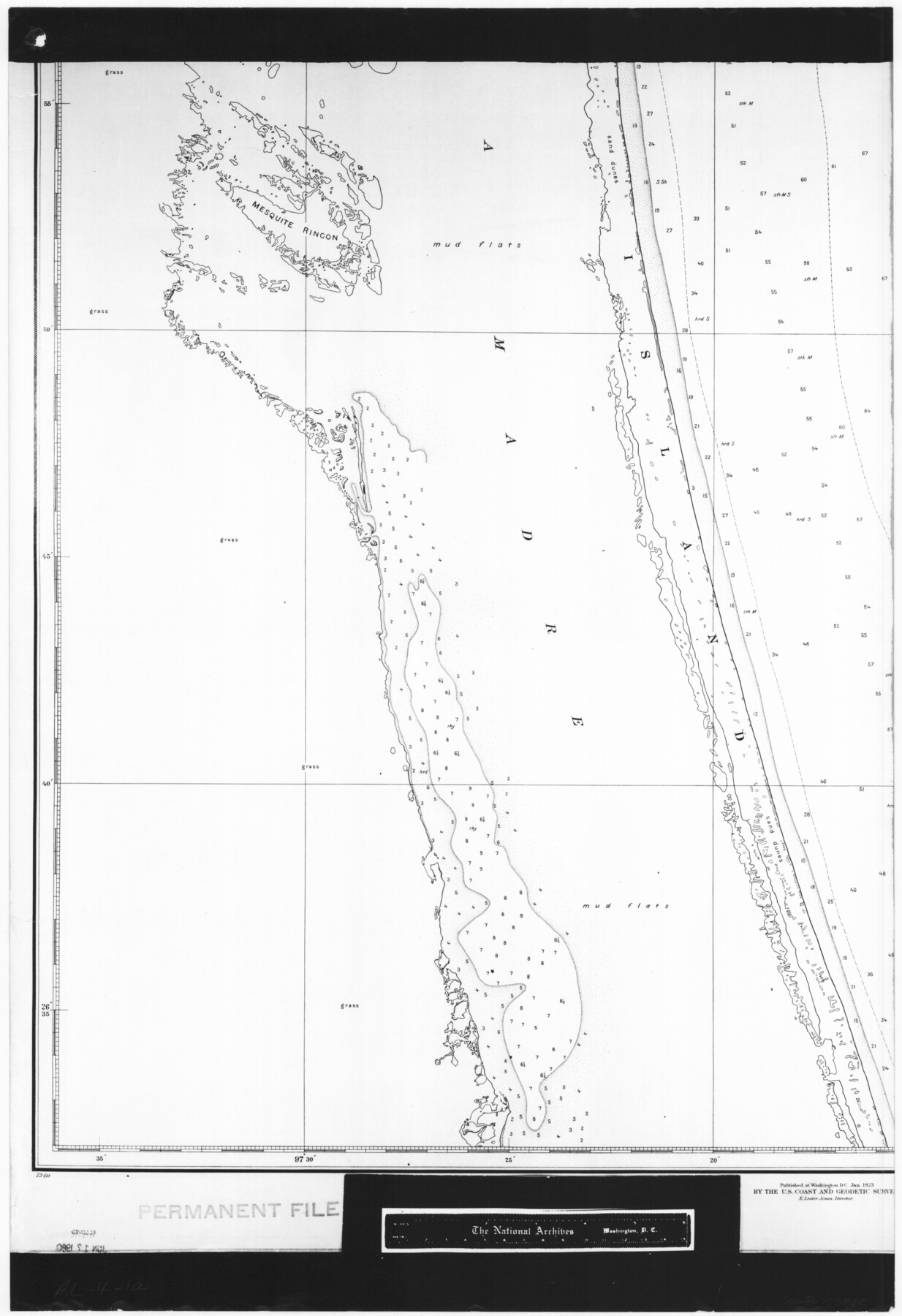
United States - Gulf Coast Texas - Northern part of Laguna Madre
RL-4-1a
-
Map/Doc
72932
-
Collection
General Map Collection
-
Object Dates
1923 (Creation Date)
-
People and Organizations
U. S. Coast and Geodetic Survey (Publisher)
U. S. Coast and Geodetic Survey (Author)
-
Subjects
Nautical Charts
-
Height x Width
26.7 x 18.3 inches
67.8 x 46.5 cm
-
Comments
B/W photostat copy from National Archives in multiple pieces.
Part of: General Map Collection
Edwards County Sketch File 32

Print $40.00
- Digital $50.00
Edwards County Sketch File 32
1926
Size 13.1 x 14.4 inches
Map/Doc 21765
Travis County Working Sketch 41

Print $20.00
- Digital $50.00
Travis County Working Sketch 41
1974
Size 34.4 x 31.3 inches
Map/Doc 69425
Brazos County Working Sketch 7

Print $20.00
- Digital $50.00
Brazos County Working Sketch 7
1981
Size 12.1 x 33.1 inches
Map/Doc 67482

Castro County Rolled Sketch 10

Print $20.00
- Digital $50.00
Castro County Rolled Sketch 10
1908
Size 30.6 x 8.9 inches
Map/Doc 5419
Harris County Working Sketch 85

Print $20.00
- Digital $50.00
Harris County Working Sketch 85
1971
Size 41.5 x 44.0 inches
Map/Doc 65977
Taylor County

Print $20.00
- Digital $50.00
Taylor County
1934
Size 44.8 x 39.0 inches
Map/Doc 95650
Webb County Working Sketch 89

Print $20.00
- Digital $50.00
Webb County Working Sketch 89
1982
Size 44.6 x 43.0 inches
Map/Doc 72456
Armstrong County Working Sketch 1

Print $20.00
- Digital $50.00
Armstrong County Working Sketch 1
1903
Size 10.3 x 17.2 inches
Map/Doc 67232
Presidio County Rolled Sketch 56

Print $20.00
- Digital $50.00
Presidio County Rolled Sketch 56
1915
Size 21.8 x 17.1 inches
Map/Doc 7349
Nautical Chart 885-SC Intracoastal Waterway - Ellender to Galveston Bay, Louisiana-Texas

Print $20.00
- Digital $50.00
Nautical Chart 885-SC Intracoastal Waterway - Ellender to Galveston Bay, Louisiana-Texas
1972
Size 15.9 x 26.8 inches
Map/Doc 75910
Nacogdoches County Sketch File 11

Print $2.00
- Digital $50.00
Nacogdoches County Sketch File 11
Size 8.0 x 8.8 inches
Map/Doc 32255
You may also like
Revised Map of Block "A", Parmer County

Print $20.00
- Digital $50.00
Revised Map of Block "A", Parmer County
1913
Size 21.1 x 23.9 inches
Map/Doc 91609
Harris County Boundary File 39 (13)

Print $60.00
- Digital $50.00
Harris County Boundary File 39 (13)
Size 13.1 x 15.9 inches
Map/Doc 54341
Matagorda County Rolled Sketch PHL

Print $20.00
- Digital $50.00
Matagorda County Rolled Sketch PHL
1937
Size 37.3 x 40.0 inches
Map/Doc 9476
Knox County Working Sketch 10

Print $20.00
- Digital $50.00
Knox County Working Sketch 10
Size 30.1 x 22.7 inches
Map/Doc 70252
Flight Mission No. DCL-7C, Frame 117, Kenedy County

Print $20.00
- Digital $50.00
Flight Mission No. DCL-7C, Frame 117, Kenedy County
1943
Size 18.4 x 22.3 inches
Map/Doc 86082
Galveston County Sketch File 27

Print $20.00
- Digital $50.00
Galveston County Sketch File 27
Size 18.3 x 30.0 inches
Map/Doc 11532
Flight Mission No. BQR-9K, Frame 47, Brazoria County

Print $20.00
- Digital $50.00
Flight Mission No. BQR-9K, Frame 47, Brazoria County
1952
Size 18.7 x 22.4 inches
Map/Doc 84051
Cameron County Aerial Photograph Index Sheet 4

Print $20.00
- Digital $50.00
Cameron County Aerial Photograph Index Sheet 4
1955
Size 19.3 x 17.4 inches
Map/Doc 83676
Terlingua Special Map, The University of Texas Mineral Survey, Brewster County, Texas

Print $20.00
- Digital $50.00
Terlingua Special Map, The University of Texas Mineral Survey, Brewster County, Texas
1902
Size 20.4 x 22.6 inches
Map/Doc 482
Angelina County Working Sketch 35

Print $20.00
- Digital $50.00
Angelina County Working Sketch 35
1957
Size 27.4 x 29.6 inches
Map/Doc 67118
Wise County Sketch File 18

Print $4.00
- Digital $50.00
Wise County Sketch File 18
1860
Size 12.8 x 7.8 inches
Map/Doc 40553
Gulf, Texas & Western Railway

Print $40.00
- Digital $50.00
Gulf, Texas & Western Railway
1913
Size 19.4 x 61.3 inches
Map/Doc 64440