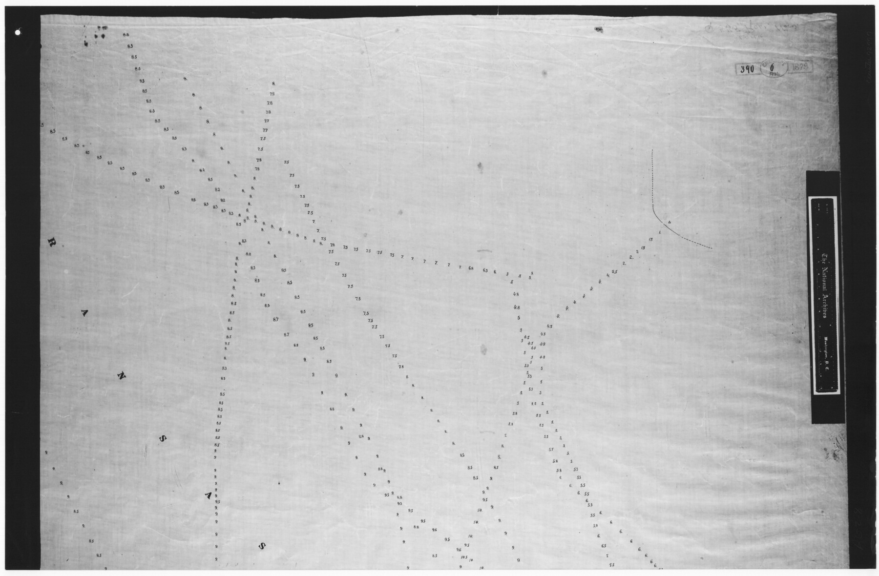
No. 3 Chart of Channel connecting Corpus Christi Bay with Aransas Bay, Texas
RL-2-8
-
Map/Doc
72777
-
Collection
General Map Collection
-
Object Dates
1848/9/17 (Creation Date)
-
People and Organizations
Corps of Engineers (Author)
W.H. Hoffman (Draftsman)
H.S. Douglas (Draftsman)
H.C. Collins (Draftsman)
-
Counties
Nueces
-
Subjects
Nautical Charts
-
Height x Width
18.3 x 27.9 inches
46.5 x 70.9 cm
-
Comments
B/W photostat copy from National Archives in multiple pieces.
Part of: General Map Collection
Bailey County Sketch File 2

Print $40.00
- Digital $50.00
Bailey County Sketch File 2
1892
Size 28.0 x 23.6 inches
Map/Doc 10881
Marion County Working Sketch 7

Print $20.00
- Digital $50.00
Marion County Working Sketch 7
1918
Size 27.9 x 27.7 inches
Map/Doc 70782
Palo Pinto County Working Sketch 1

Print $20.00
- Digital $50.00
Palo Pinto County Working Sketch 1
1903
Size 19.0 x 14.6 inches
Map/Doc 71384
Glasscock County Sketch File 26

Print $20.00
- Digital $50.00
Glasscock County Sketch File 26
1951
Size 16.1 x 28.3 inches
Map/Doc 11567
Flight Mission No. DIX-6P, Frame 201, Aransas County

Print $20.00
- Digital $50.00
Flight Mission No. DIX-6P, Frame 201, Aransas County
1956
Size 18.9 x 22.8 inches
Map/Doc 83863
Val Verde County Working Sketch 52

Print $20.00
- Digital $50.00
Val Verde County Working Sketch 52
1956
Size 20.6 x 14.9 inches
Map/Doc 72187
Polk County Sketch File 5

Print $2.00
- Digital $50.00
Polk County Sketch File 5
Size 8.0 x 7.0 inches
Map/Doc 34128
Hemphill County Rolled Sketch 15A

Print $20.00
- Digital $50.00
Hemphill County Rolled Sketch 15A
1961
Size 26.6 x 17.3 inches
Map/Doc 6195
Starr County Rolled Sketch 40

Print $20.00
- Digital $50.00
Starr County Rolled Sketch 40
1961
Size 21.3 x 22.6 inches
Map/Doc 7834
Pecos County Working Sketch 9

Print $20.00
- Digital $50.00
Pecos County Working Sketch 9
1907
Size 32.4 x 26.7 inches
Map/Doc 71479
Blanco County Sketch File 23

Print $16.00
- Digital $50.00
Blanco County Sketch File 23
1887
Size 8.7 x 14.1 inches
Map/Doc 14606
Jefferson County Sketch File 19

Print $20.00
- Digital $50.00
Jefferson County Sketch File 19
1872
Size 15.0 x 20.1 inches
Map/Doc 11870
You may also like
Stonewall County Sketch File 15a

Print $2.00
- Digital $50.00
Stonewall County Sketch File 15a
Size 7.6 x 12.1 inches
Map/Doc 37265
Cooke County Working Sketch 20

Print $20.00
- Digital $50.00
Cooke County Working Sketch 20
1956
Size 21.1 x 10.4 inches
Map/Doc 68257
Hamilton County Rolled Sketch 3

Print $20.00
- Digital $50.00
Hamilton County Rolled Sketch 3
1919
Size 20.6 x 26.2 inches
Map/Doc 6070
King County Sketch File 5

Print $6.00
- Digital $50.00
King County Sketch File 5
1895
Size 10.6 x 12.2 inches
Map/Doc 29024
Flight Mission No. DAG-22K, Frame 88, Matagorda County

Print $20.00
- Digital $50.00
Flight Mission No. DAG-22K, Frame 88, Matagorda County
1953
Size 18.6 x 22.4 inches
Map/Doc 86472


[T.& P. RR Co. Block 32 Township 4 North]
![92455, [T.& P. RR Co. Block 32 Township 4 North], Twichell Survey Records](https://historictexasmaps.com/wmedia_w700/maps/92455-1.tif.jpg)
Print $20.00
- Digital $50.00
[T.& P. RR Co. Block 32 Township 4 North]
Size 35.5 x 19.5 inches
Map/Doc 92455
Wise County Rolled Sketch 8

Print $20.00
- Digital $50.00
Wise County Rolled Sketch 8
Size 24.0 x 36.0 inches
Map/Doc 93554
Henderson County Sketch File 4

Print $4.00
- Digital $50.00
Henderson County Sketch File 4
1851
Size 12.9 x 8.3 inches
Map/Doc 26323
Mitchell County Boundary File 3

Print $6.00
- Digital $50.00
Mitchell County Boundary File 3
Size 11.2 x 8.6 inches
Map/Doc 57369
Brazos River, Ball Hill Sheet/Big Creek

Print $6.00
- Digital $50.00
Brazos River, Ball Hill Sheet/Big Creek
1926
Size 34.3 x 30.0 inches
Map/Doc 65281