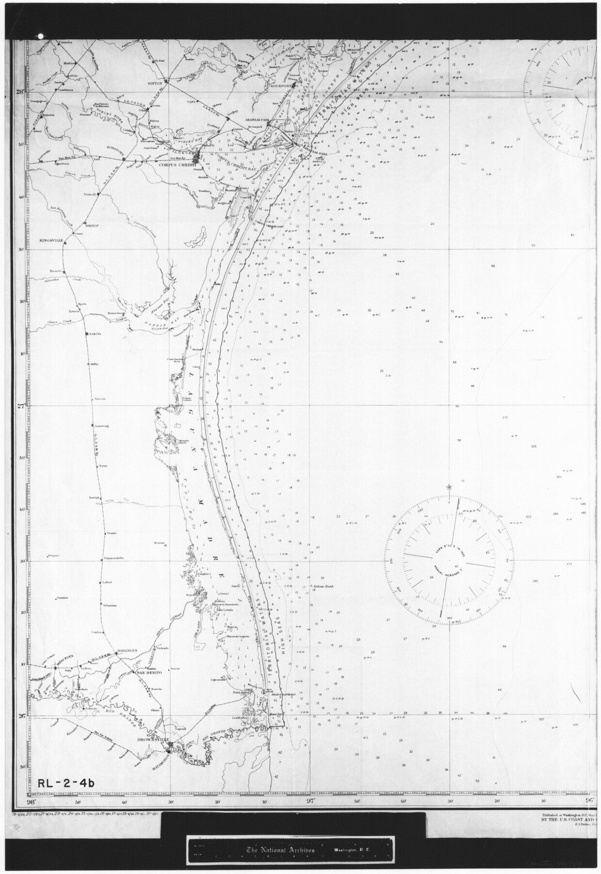
United States - Gulf Coast - Galveston to Rio Grande
RL-2-4b
-
Map/Doc
72747
-
Collection
General Map Collection
-
Object Dates
1919 (Creation Date)
-
People and Organizations
U. S. Coast and Geodetic Survey (Publisher)
-
Subjects
Nautical Charts
-
Height x Width
26.5 x 18.2 inches
67.3 x 46.2 cm
-
Comments
B/W photostat copy from National Archives in multiple pieces.
Part of: General Map Collection
[Beaumont, Sour Lake and Western Ry. Right of Way and Alignment - Frisco]
![64124, [Beaumont, Sour Lake and Western Ry. Right of Way and Alignment - Frisco], General Map Collection](https://historictexasmaps.com/wmedia_w700/maps/64124.tif.jpg)
Print $20.00
- Digital $50.00
[Beaumont, Sour Lake and Western Ry. Right of Way and Alignment - Frisco]
1910
Size 20.4 x 46.0 inches
Map/Doc 64124
Comal County Working Sketch 1

Print $20.00
- Digital $50.00
Comal County Working Sketch 1
1919
Size 22.1 x 18.2 inches
Map/Doc 68167
Montgomery County Rolled Sketch 20

Print $20.00
- Digital $50.00
Montgomery County Rolled Sketch 20
1933
Size 34.5 x 33.7 inches
Map/Doc 9531
Flight Mission No. BRA-17M, Frame 13, Jefferson County

Print $20.00
- Digital $50.00
Flight Mission No. BRA-17M, Frame 13, Jefferson County
1953
Size 18.6 x 22.3 inches
Map/Doc 85794
Milam County Working Sketch 3

Print $20.00
- Digital $50.00
Milam County Working Sketch 3
Size 29.0 x 38.4 inches
Map/Doc 71018
Presidio County Rolled Sketch 140

Print $20.00
- Digital $50.00
Presidio County Rolled Sketch 140
2003
Size 44.4 x 34.7 inches
Map/Doc 78654
Tom Green County Working Sketch 12

Print $20.00
- Digital $50.00
Tom Green County Working Sketch 12
1975
Size 30.0 x 41.1 inches
Map/Doc 69381
Rockwall County Boundary File 8

Print $10.00
- Digital $50.00
Rockwall County Boundary File 8
Size 14.4 x 8.8 inches
Map/Doc 58428

Coleman County Sketch File 19

Print $4.00
- Digital $50.00
Coleman County Sketch File 19
Size 12.5 x 8.1 inches
Map/Doc 18692

Maps & Lists Showing Prison Lands (Oil & Gas) Leased as of June 1955

Digital $50.00
Maps & Lists Showing Prison Lands (Oil & Gas) Leased as of June 1955
Size 11.4 x 7.2 inches
Map/Doc 62867
You may also like
Leon County Working Sketch 61

Print $20.00
- Digital $50.00
Leon County Working Sketch 61
2010
Size 35.8 x 38.7 inches
Map/Doc 89986
Public Land on Mustang Island, Nueces County

Print $20.00
- Digital $50.00
Public Land on Mustang Island, Nueces County
1910
Size 17.0 x 17.5 inches
Map/Doc 93362
Hemphill County Working Sketch 28

Print $40.00
- Digital $50.00
Hemphill County Working Sketch 28
1974
Size 61.8 x 43.5 inches
Map/Doc 66123
Flight Mission No. CRC-4R, Frame 174, Chambers County

Print $20.00
- Digital $50.00
Flight Mission No. CRC-4R, Frame 174, Chambers County
1956
Size 18.6 x 22.3 inches
Map/Doc 84925
Flight Mission No. DQN-2K, Frame 79, Calhoun County

Print $20.00
- Digital $50.00
Flight Mission No. DQN-2K, Frame 79, Calhoun County
1953
Size 16.0 x 16.0 inches
Map/Doc 84271
Crockett County Rolled Sketch 57

Print $40.00
- Digital $50.00
Crockett County Rolled Sketch 57
1944
Size 52.7 x 28.0 inches
Map/Doc 8719
Correct Map of Texas and Louisiana

Print $40.00
- Digital $50.00
Correct Map of Texas and Louisiana
1917
Size 41.6 x 53.6 inches
Map/Doc 2142
Erath County Working Sketch 21

Print $20.00
- Digital $50.00
Erath County Working Sketch 21
1965
Size 23.9 x 19.8 inches
Map/Doc 69102
Lampasas County Boundary File 16

Print $14.00
- Digital $50.00
Lampasas County Boundary File 16
Size 8.9 x 8.2 inches
Map/Doc 56216
Map of Williamson County

Print $20.00
- Digital $50.00
Map of Williamson County
1880
Size 20.9 x 29.0 inches
Map/Doc 4148
Potter County Sketch File 9

Print $20.00
- Digital $50.00
Potter County Sketch File 9
1887
Size 12.5 x 17.7 inches
Map/Doc 12198
Southern Pacific Transportation Company, Right of Way and Track Map, Beeville Branch

Print $40.00
- Digital $50.00
Southern Pacific Transportation Company, Right of Way and Track Map, Beeville Branch
Size 24.1 x 56.1 inches
Map/Doc 76163