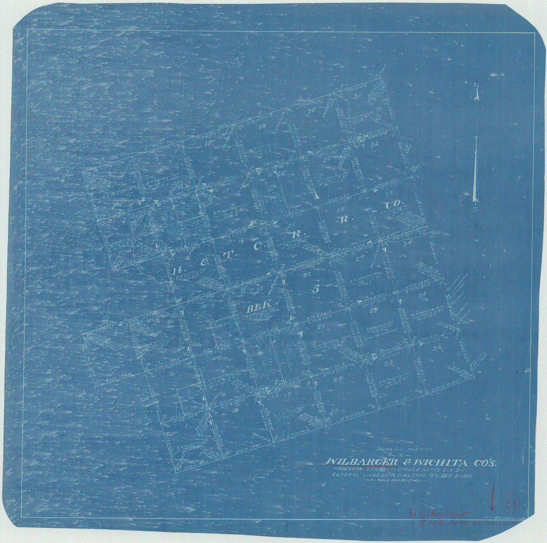
Wilbarger County Working Sketch 2b
-
Map/Doc
72540
-
Collection
General Map Collection
-
Object Dates
12/5/1922 (Creation Date)
-
People and Organizations
G.C. Morriss (Draftsman)
-
Counties
Wilbarger Wichita
-
Subjects
Surveying Working Sketch
-
Height x Width
19.8 x 20.0 inches
50.3 x 50.8 cm
-
Scale
1" = 1000 varas
Part of: General Map Collection
Flight Mission No. DAG-23K, Frame 21, Matagorda County

Print $20.00
- Digital $50.00
Flight Mission No. DAG-23K, Frame 21, Matagorda County
1953
Size 18.4 x 22.3 inches
Map/Doc 86483
San Patricio County Working Sketch 15

Print $20.00
- Digital $50.00
San Patricio County Working Sketch 15
1951
Size 20.9 x 25.6 inches
Map/Doc 63777
Pecos County Rolled Sketch 115A

Print $20.00
- Digital $50.00
Pecos County Rolled Sketch 115A
1943
Size 15.8 x 15.2 inches
Map/Doc 7258
Anderson County Working Sketch 1

Print $20.00
- Digital $50.00
Anderson County Working Sketch 1
Size 24.0 x 19.3 inches
Map/Doc 67000
Cottle County Rolled Sketch 12

Print $20.00
- Digital $50.00
Cottle County Rolled Sketch 12
1959
Size 41.1 x 30.9 inches
Map/Doc 5570
Brazoria County Working Sketch 12

Print $20.00
- Digital $50.00
Brazoria County Working Sketch 12
1936
Size 24.6 x 36.6 inches
Map/Doc 67497
Brazoria County Sketch File 10a

Print $50.00
- Digital $50.00
Brazoria County Sketch File 10a
1912
Size 7.1 x 8.7 inches
Map/Doc 14940
[Beaumont, Sour Lake and Western Ry. Right of Way and Alignment - Frisco]
![64107, [Beaumont, Sour Lake and Western Ry. Right of Way and Alignment - Frisco], General Map Collection](https://historictexasmaps.com/wmedia_w700/maps/64107.tif.jpg)
Print $20.00
- Digital $50.00
[Beaumont, Sour Lake and Western Ry. Right of Way and Alignment - Frisco]
1910
Size 20.4 x 46.0 inches
Map/Doc 64107
Crockett County Rolled Sketch 92

Print $20.00
- Digital $50.00
Crockett County Rolled Sketch 92
1977
Size 43.0 x 25.2 inches
Map/Doc 5632

El Paso County Working Sketch 46

Print $20.00
- Digital $50.00
El Paso County Working Sketch 46
1987
Size 38.3 x 37.5 inches
Map/Doc 69068
Current Miscellaneous File 97

Print $16.00
- Digital $50.00
Current Miscellaneous File 97
1847
Size 11.3 x 8.8 inches
Map/Doc 74329
You may also like
General Highway Map, Montague County, Texas

Print $20.00
General Highway Map, Montague County, Texas
1961
Size 24.8 x 18.2 inches
Map/Doc 79601
Val Verde County Sketch File 6

Print $32.00
- Digital $50.00
Val Verde County Sketch File 6
1889
Size 19.6 x 16.1 inches
Map/Doc 12562
Real County Working Sketch 89

Print $20.00
- Digital $50.00
Real County Working Sketch 89
Size 28.0 x 37.1 inches
Map/Doc 71981
Coleman County Working Sketch 11

Print $20.00
- Digital $50.00
Coleman County Working Sketch 11
1950
Size 24.2 x 18.2 inches
Map/Doc 68077
[Bastrop District]
![83519, [Bastrop District], General Map Collection](https://historictexasmaps.com/wmedia_w700/maps/83519-1.tif.jpg)
Print $20.00
- Digital $50.00
[Bastrop District]
1838
Size 26.5 x 44.2 inches
Map/Doc 83519
Sectional map of Texas traversed by the Missouri, Kansas & Texas Railway, showing the crops adapted to each section, with the elevation and annual rainfall

Print $20.00
- Digital $50.00
Sectional map of Texas traversed by the Missouri, Kansas & Texas Railway, showing the crops adapted to each section, with the elevation and annual rainfall
1908
Size 22.0 x 22.9 inches
Map/Doc 95816
Val Verde County Working Sketch 117

Print $20.00
- Digital $50.00
Val Verde County Working Sketch 117
1993
Size 20.8 x 36.8 inches
Map/Doc 82845
Bosque County Working Sketch 23

Print $20.00
- Digital $50.00
Bosque County Working Sketch 23
1984
Size 17.4 x 23.6 inches
Map/Doc 67456
Flight Mission No. DQN-2K, Frame 122, Calhoun County

Print $4.00
- Digital $50.00
Flight Mission No. DQN-2K, Frame 122, Calhoun County
1953
Size 18.5 x 22.2 inches
Map/Doc 84298
Karnes County Sketch File 15

Print $28.00
- Digital $50.00
Karnes County Sketch File 15
1922
Size 11.4 x 8.8 inches
Map/Doc 28618
Township 3 South Range 12 West, South Western District, Louisiana

Print $20.00
- Digital $50.00
Township 3 South Range 12 West, South Western District, Louisiana
1879
Size 19.5 x 24.8 inches
Map/Doc 65883
