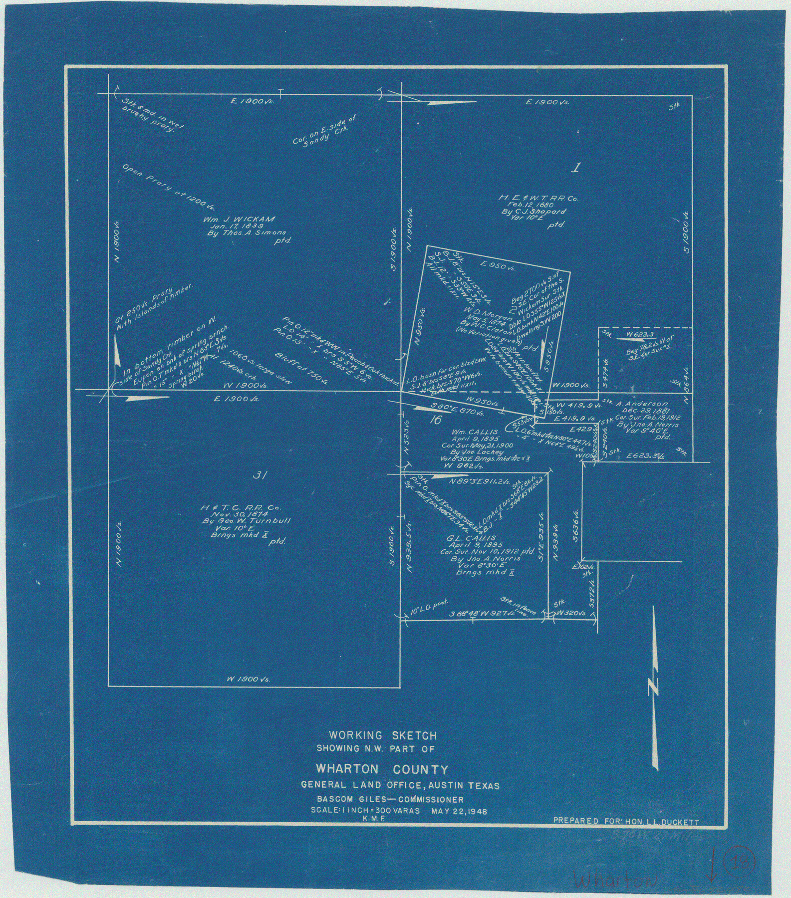
Wharton County Working Sketch 18
-
Map/Doc
72482
-
Collection
General Map Collection
-
Object Dates
5/22/1948 (Creation Date)
-
Counties
Wharton
-
Subjects
Surveying Working Sketch
-
Height x Width
19.3 x 17.0 inches
49.0 x 43.2 cm
-
Scale
1" = 300 varas
Part of: General Map Collection
Flight Mission No. DQO-3K, Frame 34, Galveston County

Print $20.00
- Digital $50.00
Flight Mission No. DQO-3K, Frame 34, Galveston County
1952
Size 18.7 x 22.4 inches
Map/Doc 85075
Hardin County Sketch File 30

Print $6.00
- Digital $50.00
Hardin County Sketch File 30
Size 6.5 x 8.1 inches
Map/Doc 25157
Jasper County Rolled Sketch 7A

Print $20.00
- Digital $50.00
Jasper County Rolled Sketch 7A
Size 22.4 x 14.7 inches
Map/Doc 6354
Colorado County Sketch File 23

Print $4.00
- Digital $50.00
Colorado County Sketch File 23
1882
Size 8.8 x 8.3 inches
Map/Doc 18961
Presidio County Rolled Sketch 3B

Print $20.00
- Digital $50.00
Presidio County Rolled Sketch 3B
Size 26.2 x 24.1 inches
Map/Doc 7328
Lee County Working Sketch 22

Print $20.00
- Digital $50.00
Lee County Working Sketch 22
2010
Size 29.2 x 29.6 inches
Map/Doc 89271
Crane County Working Sketch 8

Print $20.00
- Digital $50.00
Crane County Working Sketch 8
1929
Size 33.2 x 28.4 inches
Map/Doc 68285
Flight Mission No. CLL-3N, Frame 19, Willacy County

Print $20.00
- Digital $50.00
Flight Mission No. CLL-3N, Frame 19, Willacy County
1954
Size 18.4 x 22.1 inches
Map/Doc 87085
Starr County Working Sketch 16

Print $20.00
- Digital $50.00
Starr County Working Sketch 16
1981
Size 21.5 x 12.0 inches
Map/Doc 63932
Atascosa County Working Sketch 34

Print $20.00
- Digital $50.00
Atascosa County Working Sketch 34
1958
Size 13.3 x 25.5 inches
Map/Doc 67230
Deaf Smith Co.

Print $20.00
- Digital $50.00
Deaf Smith Co.
1910
Size 20.2 x 28.1 inches
Map/Doc 1767
Reagan County Sketch File 33

Print $4.00
- Digital $50.00
Reagan County Sketch File 33
1948
Size 8.9 x 14.4 inches
Map/Doc 35028
You may also like
Jim Hogg County Rolled Sketch 2

Print $20.00
- Digital $50.00
Jim Hogg County Rolled Sketch 2
Size 27.9 x 32.7 inches
Map/Doc 6438
Flight Mission No. DQN-6K, Frame 90, Calhoun County

Print $20.00
- Digital $50.00
Flight Mission No. DQN-6K, Frame 90, Calhoun County
1953
Size 18.6 x 22.2 inches
Map/Doc 84450
Revised Sectional Map Number 2, Showing Surveys in Howard, Martin, Andrews, Glasscock, Midland, Ector

Print $20.00
- Digital $50.00
Revised Sectional Map Number 2, Showing Surveys in Howard, Martin, Andrews, Glasscock, Midland, Ector
1908
Size 24.7 x 19.6 inches
Map/Doc 91367
General Highway Map, Callahan County, Texas

Print $20.00
General Highway Map, Callahan County, Texas
1940
Size 25.3 x 18.4 inches
Map/Doc 79037
Map showing survey for proposed ship channel from Brownsville to Brazos Santiago Pass

Print $20.00
- Digital $50.00
Map showing survey for proposed ship channel from Brownsville to Brazos Santiago Pass
1912
Size 18.2 x 26.9 inches
Map/Doc 72898
Terry County Sketch File 5

Print $40.00
- Digital $50.00
Terry County Sketch File 5
1916
Size 15.6 x 58.6 inches
Map/Doc 10391
King County Working Sketch 18-0

Print $40.00
- Digital $50.00
King County Working Sketch 18-0
Size 44.0 x 56.5 inches
Map/Doc 78212
Flight Mission No. DCL-6C, Frame 96, Kenedy County

Print $20.00
- Digital $50.00
Flight Mission No. DCL-6C, Frame 96, Kenedy County
1943
Size 18.6 x 22.4 inches
Map/Doc 85926
Madison County Working Sketch 6

Print $2.00
- Digital $50.00
Madison County Working Sketch 6
1982
Size 10.5 x 7.7 inches
Map/Doc 70768
Armstrong County Sketch File A-11

Print $40.00
- Digital $50.00
Armstrong County Sketch File A-11
Size 17.0 x 14.8 inches
Map/Doc 10853
Flight Mission No. CUI-1H, Frame 140, Milam County

Print $20.00
- Digital $50.00
Flight Mission No. CUI-1H, Frame 140, Milam County
1951
Size 18.4 x 22.2 inches
Map/Doc 86606
Hardin County Rolled Sketch 13

Print $20.00
- Digital $50.00
Hardin County Rolled Sketch 13
Size 47.1 x 41.3 inches
Map/Doc 76012