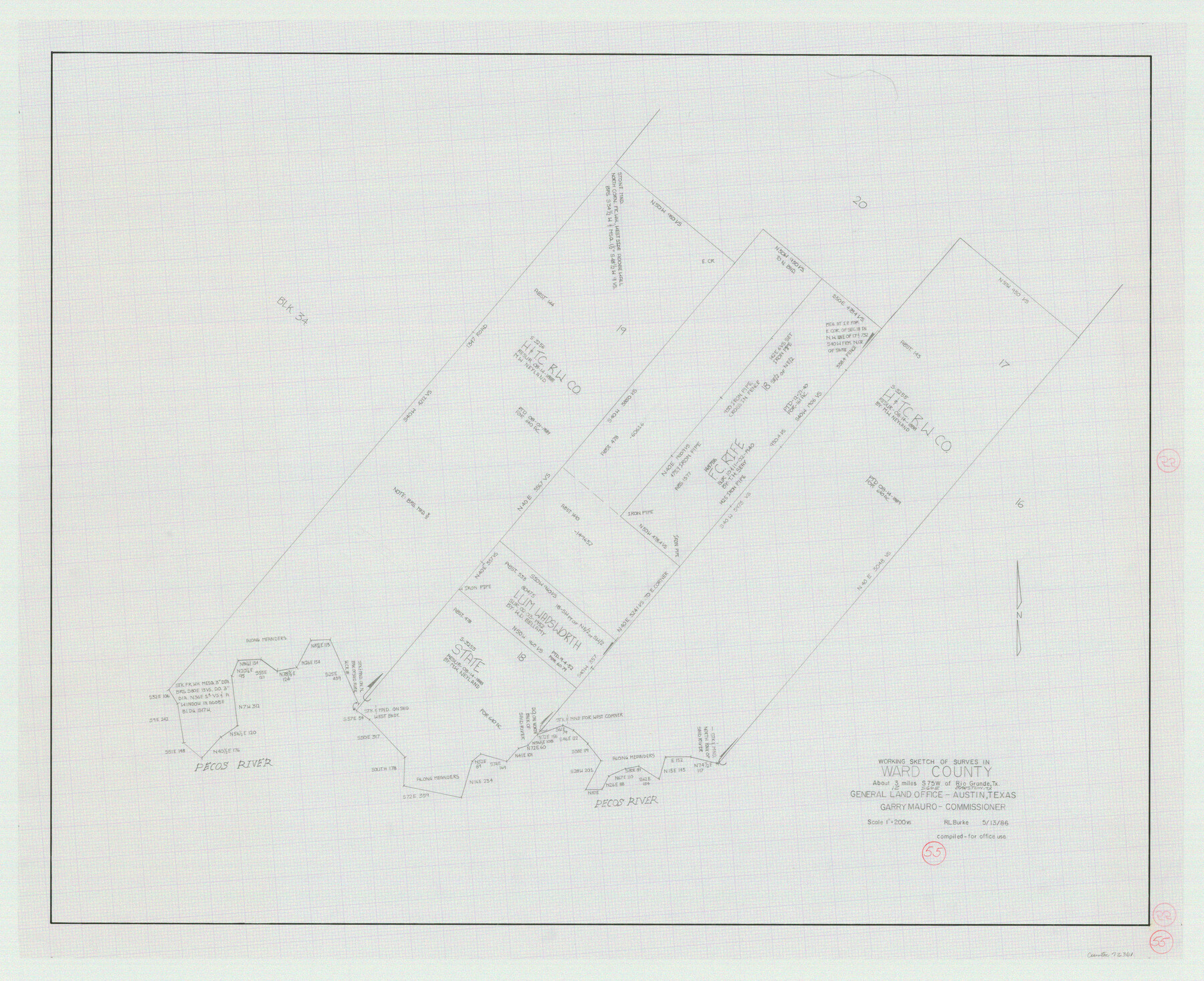
Ward County Working Sketch 55
-
Map/Doc
72361
-
Collection
General Map Collection
-
Object Dates
5/13/1986 (Creation Date)
-
People and Organizations
R.L. Burke (Draftsman)
-
Counties
Ward
-
Subjects
Surveying Working Sketch
-
Height x Width
30.0 x 36.8 inches
76.2 x 93.5 cm
-
Scale
1" = 200 varas
Part of: General Map Collection
Brazoria County NRC Article 33.136 Sketch 18

Print $24.00
- Digital $50.00
Brazoria County NRC Article 33.136 Sketch 18
2015
Size 24.0 x 36.0 inches
Map/Doc 95066
Brazoria County Working Sketch 2

Print $20.00
- Digital $50.00
Brazoria County Working Sketch 2
1907
Size 20.9 x 20.8 inches
Map/Doc 67487
Brazoria County Rolled Sketch 35

Print $40.00
- Digital $50.00
Brazoria County Rolled Sketch 35
1934
Size 32.7 x 60.0 inches
Map/Doc 8459
Right of Way and Track Map Houston & Texas Central R.R. operated by the T. & N.O. R.R. Co., Austin Branch

Print $40.00
- Digital $50.00
Right of Way and Track Map Houston & Texas Central R.R. operated by the T. & N.O. R.R. Co., Austin Branch
1918
Size 25.6 x 57.8 inches
Map/Doc 64555
Harris County Rolled Sketch 7b

Print $20.00
- Digital $50.00
Harris County Rolled Sketch 7b
Size 47.8 x 42.4 inches
Map/Doc 9853
Pecos County Rolled Sketch 165

Print $20.00
- Digital $50.00
Pecos County Rolled Sketch 165
1966
Size 23.4 x 19.6 inches
Map/Doc 7290
Uvalde County Working Sketch 44

Print $20.00
- Digital $50.00
Uvalde County Working Sketch 44
1978
Size 27.6 x 32.7 inches
Map/Doc 72114
Flight Mission No. CUG-2P, Frame 78, Kleberg County

Print $20.00
- Digital $50.00
Flight Mission No. CUG-2P, Frame 78, Kleberg County
1956
Size 18.5 x 22.2 inches
Map/Doc 86210
Navarro County Sketch File 7

Print $4.00
- Digital $50.00
Navarro County Sketch File 7
1854
Size 12.2 x 8.0 inches
Map/Doc 32313
Williamson County

Print $40.00
- Digital $50.00
Williamson County
1946
Size 37.3 x 54.8 inches
Map/Doc 77460
Map of San Augustine County

Print $20.00
- Digital $50.00
Map of San Augustine County
1839
Size 22.3 x 18.2 inches
Map/Doc 4011
Dallas County

Print $20.00
- Digital $50.00
Dallas County
1942
Size 44.5 x 36.9 inches
Map/Doc 95475
You may also like
Brewster County Working Sketch 67

Print $20.00
- Digital $50.00
Brewster County Working Sketch 67
1958
Size 41.9 x 42.0 inches
Map/Doc 67668
Van Zandt County Sketch File 23

Print $4.00
- Digital $50.00
Van Zandt County Sketch File 23
1858
Size 6.8 x 8.2 inches
Map/Doc 39437
Correct Map of Lamb County, Texas

Print $40.00
- Digital $50.00
Correct Map of Lamb County, Texas
1914
Size 47.1 x 57.1 inches
Map/Doc 89954
Old Miscellaneous File 7

Print $10.00
- Digital $50.00
Old Miscellaneous File 7
1848
Size 12.6 x 8.2 inches
Map/Doc 75422
Dickens County Sketch File 31

Print $20.00
- Digital $50.00
Dickens County Sketch File 31
Size 22.3 x 9.5 inches
Map/Doc 11327
Texas Panhandle East Boundary Line

Print $40.00
- Digital $50.00
Texas Panhandle East Boundary Line
1898
Size 65.3 x 10.0 inches
Map/Doc 1702
Foard County Working Sketch 10

Print $20.00
- Digital $50.00
Foard County Working Sketch 10
1977
Size 32.0 x 43.7 inches
Map/Doc 69201
[Mrs. May Vinson Survey]
![91869, [Mrs. May Vinson Survey], Twichell Survey Records](https://historictexasmaps.com/wmedia_w700/maps/91869-1.tif.jpg)
Print $20.00
- Digital $50.00
[Mrs. May Vinson Survey]
Size 25.5 x 14.8 inches
Map/Doc 91869
Jefferson County Sketch file 30

Print $22.00
- Digital $50.00
Jefferson County Sketch file 30
1917
Size 11.2 x 8.8 inches
Map/Doc 28194
Jasper County Working Sketch 16

Print $20.00
- Digital $50.00
Jasper County Working Sketch 16
1928
Size 13.7 x 14.3 inches
Map/Doc 66478
Calhoun County NRC Article 33.136 Sketch 11

Digital $50.00
Calhoun County NRC Article 33.136 Sketch 11
2023
Map/Doc 97255
No. 2 Chart of Corpus Christi Pass, Texas

Print $20.00
- Digital $50.00
No. 2 Chart of Corpus Christi Pass, Texas
1878
Size 18.4 x 27.5 inches
Map/Doc 73023