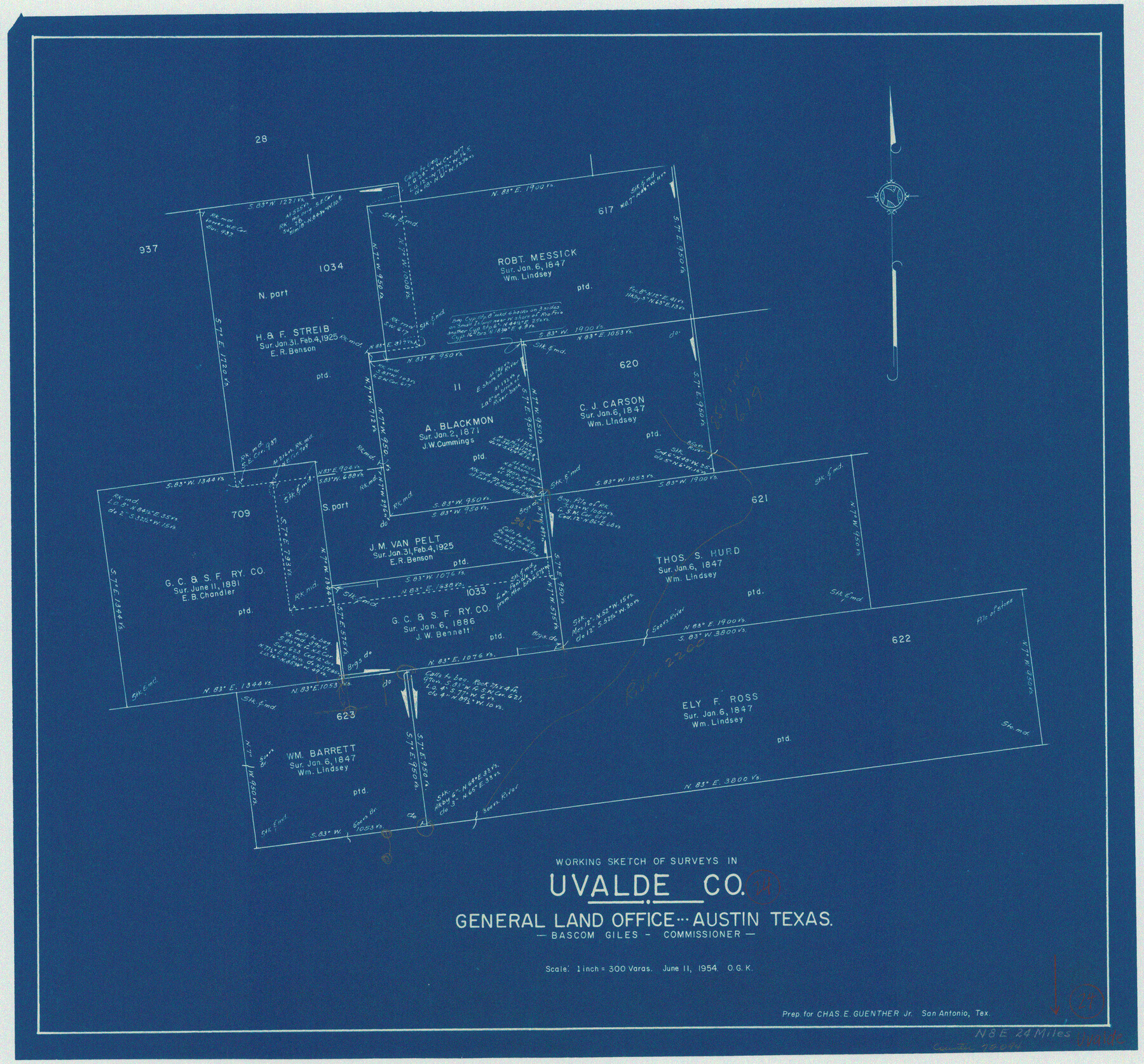
Uvalde County Working Sketch 24
-
Map/Doc
72094
-
Collection
General Map Collection
-
Object Dates
6/11/1954 (Creation Date)
-
People and Organizations
Otto G. Kurio (Draftsman)
-
Counties
Uvalde
-
Subjects
Surveying Working Sketch
-
Height x Width
21.7 x 23.3 inches
55.1 x 59.2 cm
-
Scale
1" = 300 varas
Part of: General Map Collection
Shelby County Sketch File 31

Print $20.00
- Digital $50.00
Shelby County Sketch File 31
1949
Size 12.0 x 36.0 inches
Map/Doc 12320
Sutton County Working Sketch 68

Print $40.00
- Digital $50.00
Sutton County Working Sketch 68
1972
Size 61.2 x 37.4 inches
Map/Doc 62411
Henderson County Working Sketch 31

Print $20.00
- Digital $50.00
Henderson County Working Sketch 31
1962
Size 38.7 x 39.6 inches
Map/Doc 66164
Trinity River, Levee Improvement Districts, Widths of Floodways

Print $4.00
- Digital $50.00
Trinity River, Levee Improvement Districts, Widths of Floodways
1919
Size 23.5 x 17.6 inches
Map/Doc 65250
Tom Green County Sketch File 5

Print $42.00
- Digital $50.00
Tom Green County Sketch File 5
1849
Size 8.5 x 7.1 inches
Map/Doc 38167
Bandera County Working Sketch 44

Print $20.00
- Digital $50.00
Bandera County Working Sketch 44
1980
Size 14.0 x 20.4 inches
Map/Doc 67640

Harris County Working Sketch 72

Print $20.00
- Digital $50.00
Harris County Working Sketch 72
1958
Size 24.9 x 43.6 inches
Map/Doc 65964
[Bastrop District]
![83519, [Bastrop District], General Map Collection](https://historictexasmaps.com/wmedia_w700/maps/83519-1.tif.jpg)
Print $20.00
- Digital $50.00
[Bastrop District]
1838
Size 26.5 x 44.2 inches
Map/Doc 83519
Brewster County Rolled Sketch 137

Print $20.00
- Digital $50.00
Brewster County Rolled Sketch 137
1982
Size 25.6 x 18.4 inches
Map/Doc 5305
Brewster County Working Sketch 91

Print $40.00
- Digital $50.00
Brewster County Working Sketch 91
1975
Size 65.7 x 43.6 inches
Map/Doc 67691
Pecos County Working Sketch 36

Print $20.00
- Digital $50.00
Pecos County Working Sketch 36
1939
Size 47.4 x 38.8 inches
Map/Doc 71508
You may also like
Andrews County Working Sketch 10

Print $20.00
- Digital $50.00
Andrews County Working Sketch 10
1955
Size 30.5 x 43.7 inches
Map/Doc 67056
Pecos County Working Sketch 40

Print $20.00
- Digital $50.00
Pecos County Working Sketch 40
1941
Size 29.9 x 39.7 inches
Map/Doc 71512
Isogonic Chart and Meridian Changes, University Land, Hudspeth County, Texas

Print $20.00
- Digital $50.00
Isogonic Chart and Meridian Changes, University Land, Hudspeth County, Texas
Size 28.5 x 34.1 inches
Map/Doc 62953
Padilla and Chambers Empresario Colony. February 12, 1830

Print $20.00
Padilla and Chambers Empresario Colony. February 12, 1830
2020
Size 14.7 x 21.7 inches
Map/Doc 96002
Sketch in Terry & Yoakum Counties

Print $20.00
- Digital $50.00
Sketch in Terry & Yoakum Counties
1945
Size 21.8 x 40.0 inches
Map/Doc 92854
Current Miscellaneous File 53

Print $8.00
- Digital $50.00
Current Miscellaneous File 53
1945
Size 12.0 x 9.1 inches
Map/Doc 74038
Van Zandt County

Print $20.00
- Digital $50.00
Van Zandt County
1972
Size 47.6 x 42.0 inches
Map/Doc 95662

Coleman County Working Sketch 4

Print $20.00
- Digital $50.00
Coleman County Working Sketch 4
1918
Size 22.7 x 23.6 inches
Map/Doc 68070
Schleicher County Sketch File 17

Print $20.00
- Digital $50.00
Schleicher County Sketch File 17
Size 23.4 x 17.8 inches
Map/Doc 12299
Hockley County Sketch File 16

Print $20.00
- Digital $50.00
Hockley County Sketch File 16
Size 23.6 x 30.9 inches
Map/Doc 11774
Cooke County Sketch File 46

Print $36.00
- Digital $50.00
Cooke County Sketch File 46
2002
Size 10.5 x 8.0 inches
Map/Doc 82578