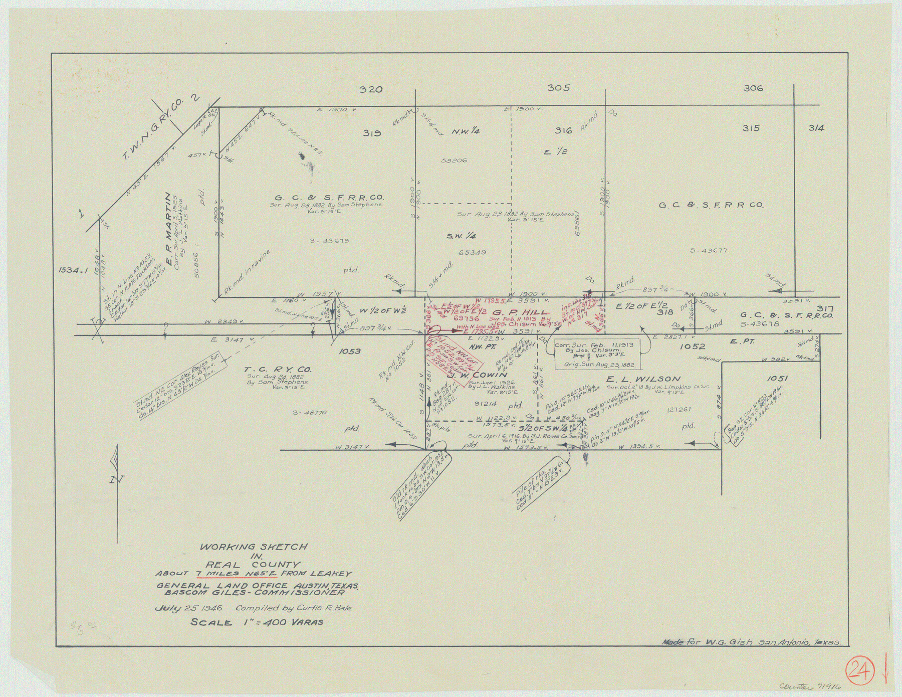
Real County Working Sketch 24
-
Map/Doc
71916
-
Collection
General Map Collection
-
Object Dates
7/25/1946 (Creation Date)
-
People and Organizations
Curtis R. Hale (Draftsman)
-
Counties
Real
-
Subjects
Surveying Working Sketch
-
Height x Width
17.4 x 22.5 inches
44.2 x 57.2 cm
-
Scale
1" = 400 varas
Part of: General Map Collection
Map of San Antonio Showing Original Townsite in Relation to Mission Valero

Map of San Antonio Showing Original Townsite in Relation to Mission Valero
2017
Size 11.0 x 8.5 inches
Map/Doc 94244
Uvalde County Rolled Sketch 16

Print $20.00
- Digital $50.00
Uvalde County Rolled Sketch 16
Size 36.6 x 25.1 inches
Map/Doc 8100
Comal County Working Sketch 12

Print $20.00
- Digital $50.00
Comal County Working Sketch 12
1987
Size 31.1 x 29.6 inches
Map/Doc 68178
Webb County Working Sketch 76

Print $20.00
- Digital $50.00
Webb County Working Sketch 76
1975
Size 43.3 x 37.5 inches
Map/Doc 72443
Travis County Sketch File 11a

Print $4.00
- Digital $50.00
Travis County Sketch File 11a
1873
Size 10.0 x 8.0 inches
Map/Doc 38302
[Right of Way Map, Belton Branch of the M.K.&T. RR.]
![64224, [Right of Way Map, Belton Branch of the M.K.&T. RR.], General Map Collection](https://historictexasmaps.com/wmedia_w700/maps/64224.tif.jpg)
Print $20.00
- Digital $50.00
[Right of Way Map, Belton Branch of the M.K.&T. RR.]
1896
Size 7.1 x 20.6 inches
Map/Doc 64224
Fisher County Rolled Sketch Y

Print $20.00
- Digital $50.00
Fisher County Rolled Sketch Y
Size 42.1 x 25.4 inches
Map/Doc 5878
Rusk County Sketch File 33

Print $10.00
Rusk County Sketch File 33
1949
Size 11.5 x 8.8 inches
Map/Doc 35568
Flight Mission No. BRE-1P, Frame 95, Nueces County

Print $20.00
- Digital $50.00
Flight Mission No. BRE-1P, Frame 95, Nueces County
1956
Size 18.4 x 22.2 inches
Map/Doc 86666
Potter County Sketch File 9

Print $20.00
- Digital $50.00
Potter County Sketch File 9
1887
Size 12.5 x 17.7 inches
Map/Doc 12198
Jeff Davis County Rolled Sketch 44

Print $20.00
- Digital $50.00
Jeff Davis County Rolled Sketch 44
2014
Size 19.8 x 34.7 inches
Map/Doc 94243
Burnet County Working Sketch 17

Print $20.00
- Digital $50.00
Burnet County Working Sketch 17
1979
Size 41.1 x 34.4 inches
Map/Doc 67860
You may also like
Gregg County Boundary File 4

Print $14.00
- Digital $50.00
Gregg County Boundary File 4
Size 14.1 x 8.6 inches
Map/Doc 53992
Lampasas County Sketch File 9a

Print $4.00
- Digital $50.00
Lampasas County Sketch File 9a
1872
Size 12.8 x 8.0 inches
Map/Doc 29410
Presidio County Rolled Sketch 102

Print $20.00
- Digital $50.00
Presidio County Rolled Sketch 102
1957
Size 22.8 x 17.4 inches
Map/Doc 7384
Flight Mission No. DAG-17K, Frame 125, Matagorda County

Print $20.00
- Digital $50.00
Flight Mission No. DAG-17K, Frame 125, Matagorda County
1952
Size 18.6 x 22.4 inches
Map/Doc 86345
Bandera County Boundary File 4

Print $18.00
- Digital $50.00
Bandera County Boundary File 4
Size 8.9 x 7.7 inches
Map/Doc 50267
Flight Mission No. BQY-15M, Frame 3, Harris County

Print $20.00
- Digital $50.00
Flight Mission No. BQY-15M, Frame 3, Harris County
1953
Size 18.7 x 22.5 inches
Map/Doc 85301
Hardin County Working Sketch 37

Print $40.00
- Digital $50.00
Hardin County Working Sketch 37
1981
Size 68.5 x 37.4 inches
Map/Doc 63435
[Map showing Jno. H. Gibson Block D]
![92001, [Map showing Jno. H. Gibson Block D], Twichell Survey Records](https://historictexasmaps.com/wmedia_w700/maps/92001-1.tif.jpg)
Print $20.00
- Digital $50.00
[Map showing Jno. H. Gibson Block D]
Size 17.9 x 15.0 inches
Map/Doc 92001
Crockett County Sketch File 81

Print $4.00
- Digital $50.00
Crockett County Sketch File 81
1939
Size 11.3 x 8.5 inches
Map/Doc 19893
Val Verde County Working Sketch 121

Print $40.00
- Digital $50.00
Val Verde County Working Sketch 121
2005
Size 34.0 x 54.2 inches
Map/Doc 83590
Flight Mission No. DAG-21K, Frame 126, Matagorda County

Print $20.00
- Digital $50.00
Flight Mission No. DAG-21K, Frame 126, Matagorda County
1952
Size 18.5 x 22.3 inches
Map/Doc 86452
Presidio County Sketch File 113

Print $6.00
- Digital $50.00
Presidio County Sketch File 113
Size 11.9 x 8.8 inches
Map/Doc 34829