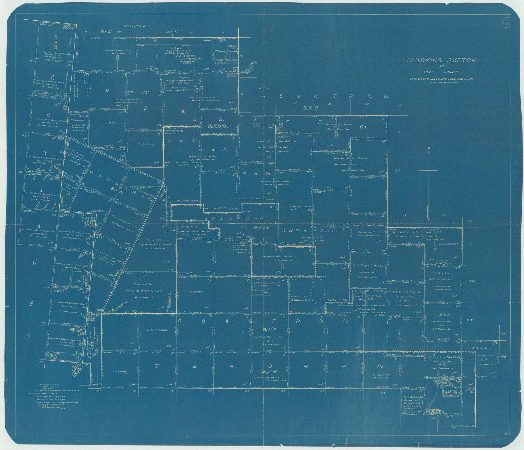
Real County Working Sketch 8
-
Map/Doc
71900
-
Collection
General Map Collection
-
Object Dates
2/21/1928 (Creation Date)
-
Counties
Real
-
Subjects
Surveying Working Sketch
-
Height x Width
38.1 x 44.3 inches
96.8 x 112.5 cm
-
Scale
1" = 600 varas
Part of: General Map Collection
Sabine and Neches Rivers

Print $20.00
- Digital $50.00
Sabine and Neches Rivers
Size 19.6 x 43.7 inches
Map/Doc 94444
Real County Working Sketch 72

Print $20.00
- Digital $50.00
Real County Working Sketch 72
1976
Size 47.3 x 43.3 inches
Map/Doc 71964
Brown County Working Sketch 18

Print $20.00
- Digital $50.00
Brown County Working Sketch 18
1994
Size 43.0 x 29.3 inches
Map/Doc 67783
Map of the Mississippi River from its Source to the Mouth of the Missouri

Print $20.00
- Digital $50.00
Map of the Mississippi River from its Source to the Mouth of the Missouri
1810
Size 10.4 x 31.3 inches
Map/Doc 95153
Comal County Boundary File 1

Print $5.00
- Digital $50.00
Comal County Boundary File 1
Size 12.9 x 11.0 inches
Map/Doc 51776
Tom Green County Rolled Sketch 9

Print $20.00
- Digital $50.00
Tom Green County Rolled Sketch 9
1949
Size 32.2 x 41.0 inches
Map/Doc 9999
Karnes County Working Sketch 8

Print $40.00
- Digital $50.00
Karnes County Working Sketch 8
1962
Size 51.8 x 36.0 inches
Map/Doc 66656
Travis County Appraisal District Plat Map 2_1002

Print $20.00
- Digital $50.00
Travis County Appraisal District Plat Map 2_1002
Size 21.4 x 26.5 inches
Map/Doc 94230
Right of Way and Track Map, International & Gt. Northern Ry. Operated by the International & Gt. Northern Ry. Co., Gulf Division

Print $40.00
- Digital $50.00
Right of Way and Track Map, International & Gt. Northern Ry. Operated by the International & Gt. Northern Ry. Co., Gulf Division
1917
Size 24.9 x 56.6 inches
Map/Doc 64250
Coleman County Boundary File 17 (2)

Print $19.00
- Digital $50.00
Coleman County Boundary File 17 (2)
Size 5.6 x 17.4 inches
Map/Doc 51645
Montgomery County Working Sketch 16

Print $20.00
- Digital $50.00
Montgomery County Working Sketch 16
1934
Size 28.9 x 33.7 inches
Map/Doc 71123
Terrell County Working Sketch 65

Print $40.00
- Digital $50.00
Terrell County Working Sketch 65
1972
Size 49.0 x 44.8 inches
Map/Doc 69586
You may also like
Austin Old and New, a Mapguide to the Heart of the City including Capitol Complex & Government Buildings, Downtown Streets and Buildings, the University of Texas, Historical Sites, Parks & Trails, Sixth Street, Town Lake, Museums

Austin Old and New, a Mapguide to the Heart of the City including Capitol Complex & Government Buildings, Downtown Streets and Buildings, the University of Texas, Historical Sites, Parks & Trails, Sixth Street, Town Lake, Museums
Size 25.4 x 31.2 inches
Map/Doc 94380
[Surveys along the Trinity River]
![321, [Surveys along the Trinity River], General Map Collection](https://historictexasmaps.com/wmedia_w700/maps/321.tif.jpg)
Print $2.00
- Digital $50.00
[Surveys along the Trinity River]
Size 3.6 x 3.7 inches
Map/Doc 321
Frio County Rolled Sketch 24

Print $20.00
- Digital $50.00
Frio County Rolled Sketch 24
1964
Size 22.3 x 21.1 inches
Map/Doc 5924
Flight Mission No. BQR-9K, Frame 42, Brazoria County

Print $20.00
- Digital $50.00
Flight Mission No. BQR-9K, Frame 42, Brazoria County
1952
Size 18.6 x 22.2 inches
Map/Doc 84046
Hutchinson County Working Sketch 16

Print $20.00
- Digital $50.00
Hutchinson County Working Sketch 16
1953
Size 23.0 x 36.3 inches
Map/Doc 66374
Harris County Sketch File 69b

Print $20.00
- Digital $50.00
Harris County Sketch File 69b
1938
Size 25.3 x 18.9 inches
Map/Doc 11664
Sketch in Terry, Yoakum, Dawson and Gaines Co's.

Print $40.00
- Digital $50.00
Sketch in Terry, Yoakum, Dawson and Gaines Co's.
1902
Size 72.8 x 26.4 inches
Map/Doc 89782
[Map of Resurvey of Block 34 and 35, Township 5 N]
![90551, [Map of Resurvey of Block 34 and 35, Township 5 N], Twichell Survey Records](https://historictexasmaps.com/wmedia_w700/maps/90551-1.tif.jpg)
Print $20.00
- Digital $50.00
[Map of Resurvey of Block 34 and 35, Township 5 N]
1915
Size 25.5 x 16.4 inches
Map/Doc 90551
Terrell County Sketch File 4

Print $12.00
- Digital $50.00
Terrell County Sketch File 4
1881
Map/Doc 12417
Conoco Official Road Map New Mexico

Print $20.00
- Digital $50.00
Conoco Official Road Map New Mexico
1934
Size 18.5 x 24.4 inches
Map/Doc 92436
Bell County Working Sketch 12

Print $20.00
- Digital $50.00
Bell County Working Sketch 12
1956
Size 17.2 x 22.0 inches
Map/Doc 67352
Reagan County Rolled Sketch 34

Print $40.00
- Digital $50.00
Reagan County Rolled Sketch 34
1956
Size 53.2 x 40.3 inches
Map/Doc 9829