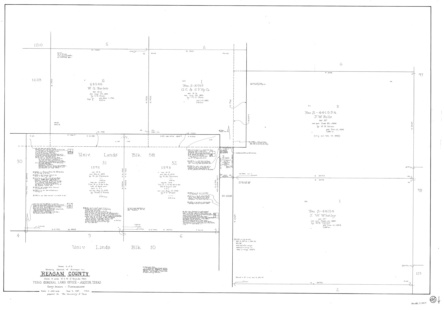
Reagan County Working Sketch 45
-
Map/Doc
71887
-
Collection
General Map Collection
-
Object Dates
6/5/1987 (Creation Date)
-
People and Organizations
Joan Kilpatrick (Draftsman)
-
Counties
Reagan
-
Subjects
Surveying Working Sketch
-
Height x Width
30.1 x 43.1 inches
76.5 x 109.5 cm
-
Scale
1" = 200 varas
Part of: General Map Collection
Andrews County Sketch File 5

Print $4.00
- Digital $50.00
Andrews County Sketch File 5
1936
Size 11.8 x 8.8 inches
Map/Doc 12823
Collin County Sketch File 14

Print $12.00
- Digital $50.00
Collin County Sketch File 14
1953
Size 11.2 x 8.7 inches
Map/Doc 18874
Potter County Boundary File 4

Print $30.00
- Digital $50.00
Potter County Boundary File 4
Size 14.6 x 9.3 inches
Map/Doc 57997
Gray County Working Sketch 7

Print $20.00
- Digital $50.00
Gray County Working Sketch 7
1971
Size 41.3 x 28.7 inches
Map/Doc 63238
Live Oak County Rolled Sketch 10

Print $20.00
- Digital $50.00
Live Oak County Rolled Sketch 10
1983
Size 38.4 x 43.9 inches
Map/Doc 9456
Pecos County Boundary File 1c

Print $12.00
- Digital $50.00
Pecos County Boundary File 1c
Size 14.2 x 8.5 inches
Map/Doc 57865
Burnet County Working Sketch 10

Print $20.00
- Digital $50.00
Burnet County Working Sketch 10
1975
Size 18.6 x 20.3 inches
Map/Doc 67853
Flight Mission No. BRA-8M, Frame 76, Jefferson County

Print $20.00
- Digital $50.00
Flight Mission No. BRA-8M, Frame 76, Jefferson County
1953
Size 18.5 x 22.3 inches
Map/Doc 85596
Sabine County Working Sketch 14

Print $20.00
- Digital $50.00
Sabine County Working Sketch 14
1953
Size 29.3 x 38.6 inches
Map/Doc 63685
Aransas County Sketch File 16

Print $40.00
- Digital $50.00
Aransas County Sketch File 16
1877
Size 16.4 x 12.8 inches
Map/Doc 13147
Marion County Working Sketch 10

Print $20.00
- Digital $50.00
Marion County Working Sketch 10
1949
Size 30.9 x 30.2 inches
Map/Doc 70785
Flight Mission No. DQN-3K, Frame 63, Calhoun County

Print $20.00
- Digital $50.00
Flight Mission No. DQN-3K, Frame 63, Calhoun County
1953
Size 18.4 x 22.3 inches
Map/Doc 84354
You may also like
Val Verde County Working Sketch 100

Print $20.00
- Digital $50.00
Val Verde County Working Sketch 100
1981
Size 22.3 x 32.0 inches
Map/Doc 72235
Hill County Boundary File 45

Print $41.00
- Digital $50.00
Hill County Boundary File 45
Size 9.0 x 3.6 inches
Map/Doc 54743
Brewster County Sketch File N-21

Print $40.00
- Digital $50.00
Brewster County Sketch File N-21
1951
Size 18.0 x 18.6 inches
Map/Doc 10968
Travis County Sketch File 60

Print $20.00
- Digital $50.00
Travis County Sketch File 60
1945
Size 23.0 x 15.9 inches
Map/Doc 12472
[Block 1 Showing County Seat]
![92951, [Block 1 Showing County Seat], Twichell Survey Records](https://historictexasmaps.com/wmedia_w700/maps/92951-1.tif.jpg)
Print $20.00
- Digital $50.00
[Block 1 Showing County Seat]
Size 20.8 x 12.3 inches
Map/Doc 92951
New Map of Texas prepared and published for the Bureau of Immigration of the State of Texas

Print $20.00
- Digital $50.00
New Map of Texas prepared and published for the Bureau of Immigration of the State of Texas
1875
Size 15.8 x 18.3 inches
Map/Doc 93626
Somervell County

Print $20.00
- Digital $50.00
Somervell County
1941
Size 28.1 x 26.1 inches
Map/Doc 73291
Flight Mission No. CGI-3N, Frame 158, Cameron County

Print $20.00
- Digital $50.00
Flight Mission No. CGI-3N, Frame 158, Cameron County
1954
Size 18.5 x 22.4 inches
Map/Doc 84622
[St. Louis & Southwestern]
![64280, [St. Louis & Southwestern], General Map Collection](https://historictexasmaps.com/wmedia_w700/maps/64280.tif.jpg)
Print $20.00
- Digital $50.00
[St. Louis & Southwestern]
Size 20.3 x 27.9 inches
Map/Doc 64280
Hockley County, Texas

Print $20.00
- Digital $50.00
Hockley County, Texas
Size 34.4 x 37.5 inches
Map/Doc 92247
Hunt County Boundary File 11

Print $14.00
- Digital $50.00
Hunt County Boundary File 11
Size 11.3 x 8.9 inches
Map/Doc 55266
Bowie County Working Sketch 7

Print $20.00
- Digital $50.00
Bowie County Working Sketch 7
1933
Size 25.1 x 12.7 inches
Map/Doc 67411