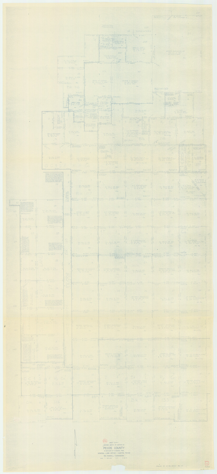
Pecos County Working Sketch 126
-
Map/Doc
71599
-
Collection
General Map Collection
-
Object Dates
3/18/1974 (Creation Date)
-
People and Organizations
Beverly Christian (Draftsman)
-
Counties
Pecos
-
Subjects
Surveying Working Sketch
-
Height x Width
83.6 x 38.2 inches
212.3 x 97.0 cm
-
Scale
1" = 400 varas
-
Comments
See Pecos County Working Sketch 126 (71600) for the field notes that are attached to this Working Sketch.
Related maps
Pecos County Working Sketch 126

Print $20.00
- Digital $50.00
Pecos County Working Sketch 126
1936
Size 15.3 x 27.4 inches
Map/Doc 71600
Part of: General Map Collection
Sherman County

Print $20.00
- Digital $50.00
Sherman County
1932
Size 39.6 x 36.4 inches
Map/Doc 77422
Tyler County Rolled Sketch 6

Print $40.00
- Digital $50.00
Tyler County Rolled Sketch 6
1956
Size 76.1 x 43.2 inches
Map/Doc 10029
Nueces County Rolled Sketch 117

Print $114.00
Nueces County Rolled Sketch 117
1993
Size 24.5 x 37.5 inches
Map/Doc 8407
America's Fun-Tier: Texas 1965 Official Highway Travel Map

Digital $50.00
America's Fun-Tier: Texas 1965 Official Highway Travel Map
Size 28.2 x 36.4 inches
Map/Doc 94325
Brewster County Working Sketch 97

Print $20.00
- Digital $50.00
Brewster County Working Sketch 97
1978
Size 31.7 x 47.0 inches
Map/Doc 67697
Comal County Sketch File 16

Print $4.00
- Digital $50.00
Comal County Sketch File 16
1878
Size 8.4 x 10.7 inches
Map/Doc 19034
Fort Bend County Sketch File 11a

Print $34.00
- Digital $50.00
Fort Bend County Sketch File 11a
1888
Size 14.3 x 9.1 inches
Map/Doc 22901
Flight Mission No. DIX-3P, Frame 172, Aransas County

Print $20.00
- Digital $50.00
Flight Mission No. DIX-3P, Frame 172, Aransas County
1956
Size 17.7 x 18.3 inches
Map/Doc 83778

Red River, Bois D'Arc Creek Floodway Sheet No. 5

Print $20.00
- Digital $50.00
Red River, Bois D'Arc Creek Floodway Sheet No. 5
1915
Size 22.3 x 31.9 inches
Map/Doc 69660
Terrell County Sketch File 17

Print $13.00
- Digital $50.00
Terrell County Sketch File 17
Size 10.1 x 8.1 inches
Map/Doc 37935
El Paso County Working Sketch 7

Print $20.00
- Digital $50.00
El Paso County Working Sketch 7
1928
Size 25.7 x 16.9 inches
Map/Doc 69029
You may also like
Terrell County Working Sketch 35

Print $20.00
- Digital $50.00
Terrell County Working Sketch 35
1948
Size 38.4 x 42.2 inches
Map/Doc 62127
[I. & G. N. Block 1, sections 64, 65, 67-71 and 545 along river]
![91602, [I. & G. N. Block 1, sections 64, 65, 67-71 and 545 along river], Twichell Survey Records](https://historictexasmaps.com/wmedia_w700/maps/91602-1.tif.jpg)
Print $2.00
- Digital $50.00
[I. & G. N. Block 1, sections 64, 65, 67-71 and 545 along river]
Size 8.8 x 14.3 inches
Map/Doc 91602
Refugio County Sketch File 8a

Print $2.00
- Digital $50.00
Refugio County Sketch File 8a
Size 8.1 x 10.2 inches
Map/Doc 35253
Sherman County

Print $20.00
- Digital $50.00
Sherman County
1918
Size 13.6 x 15.3 inches
Map/Doc 92919
Coleman County Sketch File 30

Print $8.00
- Digital $50.00
Coleman County Sketch File 30
1875
Size 10.0 x 8.0 inches
Map/Doc 18720
Flight Mission No. CRK-3P, Frame 128, Refugio County

Print $20.00
- Digital $50.00
Flight Mission No. CRK-3P, Frame 128, Refugio County
1956
Size 18.6 x 22.4 inches
Map/Doc 86916
Map of the County of Cameron, Texas

Print $40.00
- Digital $50.00
Map of the County of Cameron, Texas
1884
Size 54.7 x 34.5 inches
Map/Doc 3141
Mexico Comision Pesquisidora de la Frontera del Norte

Mexico Comision Pesquisidora de la Frontera del Norte
1874
Map/Doc 97125
Pecos County Rolled Sketch 179

Print $20.00
- Digital $50.00
Pecos County Rolled Sketch 179
1980
Size 28.0 x 28.2 inches
Map/Doc 7299
Flight Mission No. DQN-1K, Frame 140, Calhoun County

Print $20.00
- Digital $50.00
Flight Mission No. DQN-1K, Frame 140, Calhoun County
1953
Size 18.5 x 22.2 inches
Map/Doc 84203
[County School Land Leagues]
![90280, [County School Land Leagues], Twichell Survey Records](https://historictexasmaps.com/wmedia_w700/maps/90280-1.tif.jpg)
Print $20.00
- Digital $50.00
[County School Land Leagues]
1913
Size 21.2 x 25.4 inches
Map/Doc 90280
Harris County Working Sketch 126

Print $20.00
- Digital $50.00
Harris County Working Sketch 126
1995
Size 14.5 x 30.0 inches
Map/Doc 66018