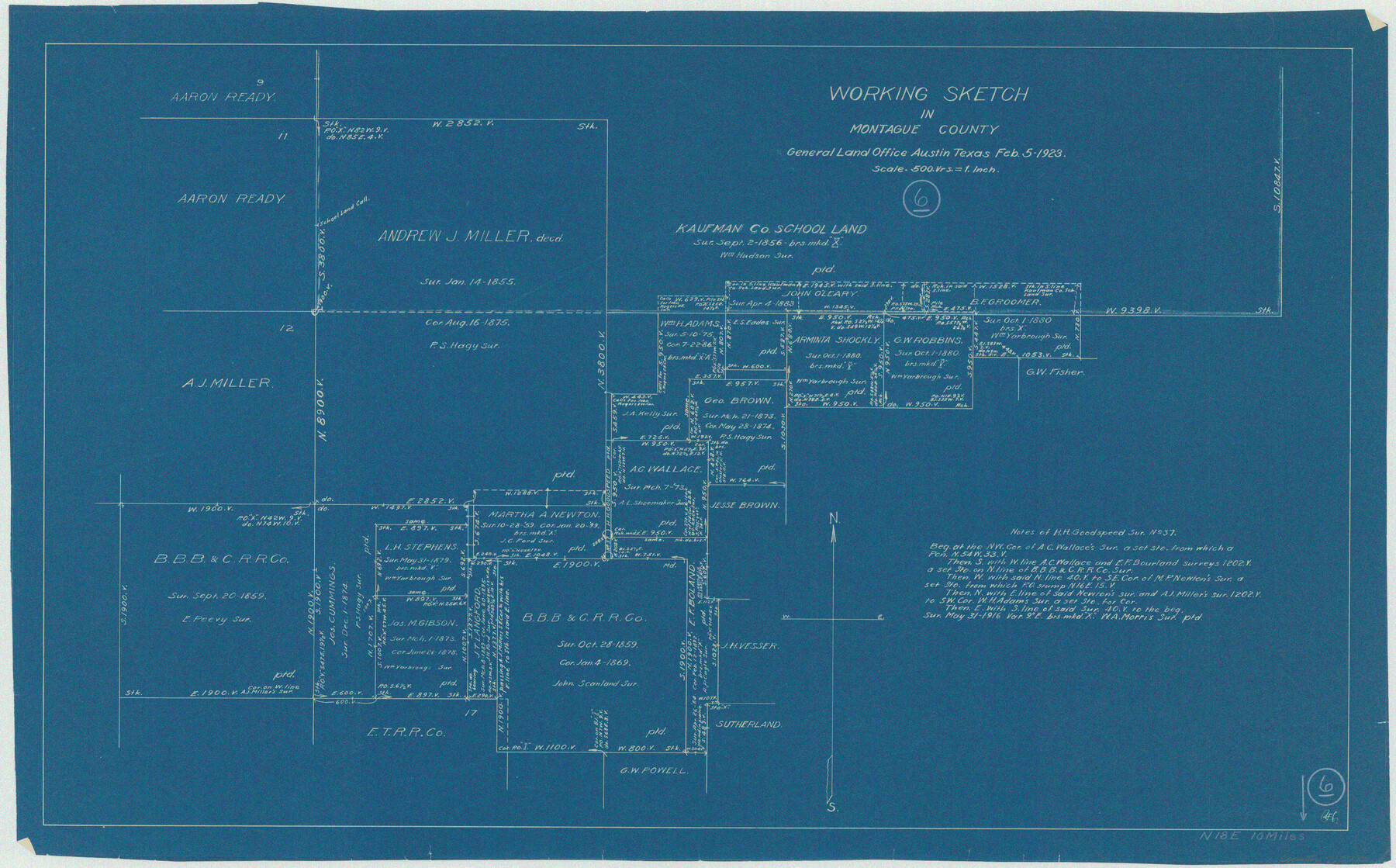
Montague County Working Sketch 6
-
Map/Doc
71072
-
Collection
General Map Collection
-
Object Dates
2/5/1923 (Creation Date)
-
Counties
Montague
-
Subjects
Surveying Working Sketch
-
Height x Width
16.9 x 27.2 inches
42.9 x 69.1 cm
-
Scale
1" = 500 varas
Part of: General Map Collection
Presidio County Working Sketch Graphic Index, West Part, Sheet 1 (Sketches 1 to 74)

Print $20.00
- Digital $50.00
Presidio County Working Sketch Graphic Index, West Part, Sheet 1 (Sketches 1 to 74)
1974
Size 40.3 x 31.4 inches
Map/Doc 76672
Montague County Rolled Sketch 5

Print $20.00
- Digital $50.00
Montague County Rolled Sketch 5
Size 27.3 x 30.2 inches
Map/Doc 6789
Chambers County Sketch File 18

Print $40.00
- Digital $50.00
Chambers County Sketch File 18
1879
Size 24.6 x 8.1 inches
Map/Doc 17569
Anderson County Working Sketch 18

Print $20.00
- Digital $50.00
Anderson County Working Sketch 18
1950
Size 19.9 x 21.2 inches
Map/Doc 67018
Flight Mission No. CLL-1N, Frame 37, Willacy County

Print $20.00
- Digital $50.00
Flight Mission No. CLL-1N, Frame 37, Willacy County
1954
Size 18.4 x 22.0 inches
Map/Doc 87018
Clay County Sketch File 9a

Print $6.00
- Digital $50.00
Clay County Sketch File 9a
1855
Size 10.7 x 6.1 inches
Map/Doc 18403
Cass County Working Sketch 30

Print $20.00
- Digital $50.00
Cass County Working Sketch 30
1980
Size 41.4 x 35.0 inches
Map/Doc 67933
Calhoun County Rolled Sketch 3

Print $20.00
- Digital $50.00
Calhoun County Rolled Sketch 3
Size 28.0 x 21.9 inches
Map/Doc 5361
Wharton County Sketch File A2

Print $32.00
- Digital $50.00
Wharton County Sketch File A2
1898
Size 22.1 x 15.7 inches
Map/Doc 12670
Flight Mission No. DCL-7C, Frame 71, Kenedy County

Print $20.00
- Digital $50.00
Flight Mission No. DCL-7C, Frame 71, Kenedy County
1943
Size 15.5 x 15.1 inches
Map/Doc 86057
Coryell County Working Sketch 31

Print $4.00
- Digital $50.00
Coryell County Working Sketch 31
2008
Size 21.8 x 20.6 inches
Map/Doc 88735
Concho County Rolled Sketch 18

Print $20.00
- Digital $50.00
Concho County Rolled Sketch 18
1955
Size 11.4 x 18.3 inches
Map/Doc 5553
You may also like
Kerr County Sketch File 11

Print $4.00
- Digital $50.00
Kerr County Sketch File 11
1889
Size 14.2 x 8.7 inches
Map/Doc 28879
Mills County Working Sketch 12

Print $20.00
- Digital $50.00
Mills County Working Sketch 12
1923
Size 22.1 x 26.3 inches
Map/Doc 71042

[Mrs. May Vinson Survey]
![91959, [Mrs. May Vinson Survey], Twichell Survey Records](https://historictexasmaps.com/wmedia_w700/maps/91959-1.tif.jpg)
Print $40.00
- Digital $50.00
[Mrs. May Vinson Survey]
Size 48.4 x 21.9 inches
Map/Doc 91959
Flight Mission No. BRE-2P, Frame 105, Nueces County

Print $20.00
- Digital $50.00
Flight Mission No. BRE-2P, Frame 105, Nueces County
1956
Size 18.4 x 22.2 inches
Map/Doc 86790
Polk County Sketch File 7

Print $6.00
- Digital $50.00
Polk County Sketch File 7
1860
Size 12.1 x 7.9 inches
Map/Doc 34131
Hutchinson County Rolled Sketch 43

Print $40.00
- Digital $50.00
Hutchinson County Rolled Sketch 43
1992
Size 40.4 x 49.4 inches
Map/Doc 6313
Tarrant County Sketch File 16

Print $4.00
- Digital $50.00
Tarrant County Sketch File 16
1861
Size 8.2 x 6.4 inches
Map/Doc 37710
Houston County Sketch File 8

Print $22.00
- Digital $50.00
Houston County Sketch File 8
1858
Size 12.9 x 8.3 inches
Map/Doc 26768
Harrison County State Real Property Sketch 2

Print $20.00
- Digital $50.00
Harrison County State Real Property Sketch 2
1986
Size 23.9 x 25.0 inches
Map/Doc 61667
Williamson County Sketch File 28

Print $20.00
- Digital $50.00
Williamson County Sketch File 28
1941
Size 23.0 x 18.2 inches
Map/Doc 12695
Blanco County Working Sketch 40

Print $20.00
- Digital $50.00
Blanco County Working Sketch 40
1986
Size 28.3 x 24.5 inches
Map/Doc 67400