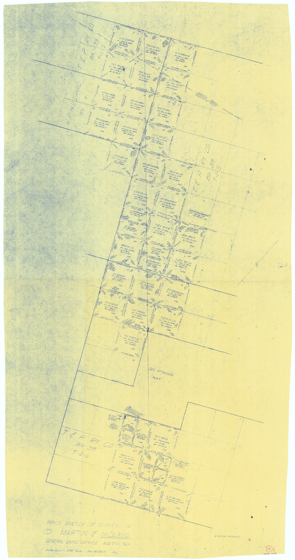
Midland County Working Sketch 16
-
Map/Doc
70996
-
Collection
General Map Collection
-
Object Dates
2/10/1953 (Creation Date)
-
Counties
Midland Martin
-
Subjects
Surveying Working Sketch
-
Height x Width
61.7 x 32.6 inches
156.7 x 82.8 cm
-
Scale
1" = 600 varas
Part of: General Map Collection
King County Rolled Sketch 13

Print $40.00
- Digital $50.00
King County Rolled Sketch 13
Size 50.5 x 29.3 inches
Map/Doc 9353
Val Verde County Working Sketch 1

Print $40.00
- Digital $50.00
Val Verde County Working Sketch 1
Size 34.8 x 58.2 inches
Map/Doc 72136
E. L. & R. R. RR., Cass Co.

Print $40.00
- Digital $50.00
E. L. & R. R. RR., Cass Co.
1898
Size 13.4 x 65.4 inches
Map/Doc 64244
Maverick County Sketch File 3a

Print $34.00
- Digital $50.00
Maverick County Sketch File 3a
Size 10.0 x 8.0 inches
Map/Doc 31035
Potter County

Print $20.00
- Digital $50.00
Potter County
1909
Size 47.5 x 40.8 inches
Map/Doc 66984
Franklin County Boundary File 2

Print $60.00
- Digital $50.00
Franklin County Boundary File 2
Size 26.1 x 13.2 inches
Map/Doc 53573
Crockett County Rolled Sketch 66

Print $20.00
- Digital $50.00
Crockett County Rolled Sketch 66
1947
Size 22.4 x 23.3 inches
Map/Doc 5609
Hudspeth County Rolled Sketch 41

Print $40.00
- Digital $50.00
Hudspeth County Rolled Sketch 41
1947
Size 12.6 x 83.1 inches
Map/Doc 76043
Medina County Sketch File 6

Print $22.00
- Digital $50.00
Medina County Sketch File 6
1874
Size 8.4 x 12.0 inches
Map/Doc 31454
Floyd County Rolled Sketch 4

Print $20.00
- Digital $50.00
Floyd County Rolled Sketch 4
1917
Size 22.8 x 33.8 inches
Map/Doc 5879
Cottle County Working Sketch 8

Print $20.00
- Digital $50.00
Cottle County Working Sketch 8
1917
Size 26.9 x 29.7 inches
Map/Doc 68318
Briscoe County Rolled Sketch 6

Print $20.00
- Digital $50.00
Briscoe County Rolled Sketch 6
Size 27.0 x 31.4 inches
Map/Doc 5326
You may also like
Right of Way & Track Map, St. Louis, Brownsville & Mexico Ry. operated by St. Louis, Brownsville & Mexico Ry. Co.

Print $40.00
- Digital $50.00
Right of Way & Track Map, St. Louis, Brownsville & Mexico Ry. operated by St. Louis, Brownsville & Mexico Ry. Co.
1919
Size 25.4 x 56.9 inches
Map/Doc 64614
[Coleman County Sections 359, 360, and 361]
![92552, [Coleman County Sections 359, 360, and 361], Twichell Survey Records](https://historictexasmaps.com/wmedia_w700/maps/92552-1.tif.jpg)
Print $20.00
- Digital $50.00
[Coleman County Sections 359, 360, and 361]
1946
Size 17.6 x 22.6 inches
Map/Doc 92552
Rains County Sketch File 11

Print $20.00
- Digital $50.00
Rains County Sketch File 11
Size 21.1 x 15.5 inches
Map/Doc 12204
Burnet County Sketch File 22

Print $4.00
- Digital $50.00
Burnet County Sketch File 22
1871
Size 9.6 x 7.9 inches
Map/Doc 16716
[Surrounding McCrummens Second Addition]
![92839, [Surrounding McCrummens Second Addition], Twichell Survey Records](https://historictexasmaps.com/wmedia_w700/maps/92839-1.tif.jpg)
Print $20.00
- Digital $50.00
[Surrounding McCrummens Second Addition]
Size 31.2 x 33.1 inches
Map/Doc 92839
Flight Mission No. DQO-8K, Frame 69, Galveston County

Print $20.00
- Digital $50.00
Flight Mission No. DQO-8K, Frame 69, Galveston County
1952
Size 18.8 x 22.5 inches
Map/Doc 85173
Jackson County Boundary File 2

Print $22.00
- Digital $50.00
Jackson County Boundary File 2
Size 8.6 x 4.1 inches
Map/Doc 55437
Map of Colorado County, Texas

Print $20.00
- Digital $50.00
Map of Colorado County, Texas
Size 28.6 x 23.5 inches
Map/Doc 700
Flight Mission No. DQO-8K, Frame 40, Galveston County

Print $20.00
- Digital $50.00
Flight Mission No. DQO-8K, Frame 40, Galveston County
1952
Size 18.5 x 22.3 inches
Map/Doc 85147
Palo Pinto County Sketch File 20

Print $6.00
- Digital $50.00
Palo Pinto County Sketch File 20
1891
Size 12.5 x 10.9 inches
Map/Doc 33402
Real County Rolled Sketch 12A

Print $20.00
- Digital $50.00
Real County Rolled Sketch 12A
Size 36.2 x 38.3 inches
Map/Doc 9837
Montgomery County Rolled Sketch 22

Print $40.00
- Digital $50.00
Montgomery County Rolled Sketch 22
1934
Size 38.0 x 61.7 inches
Map/Doc 9532