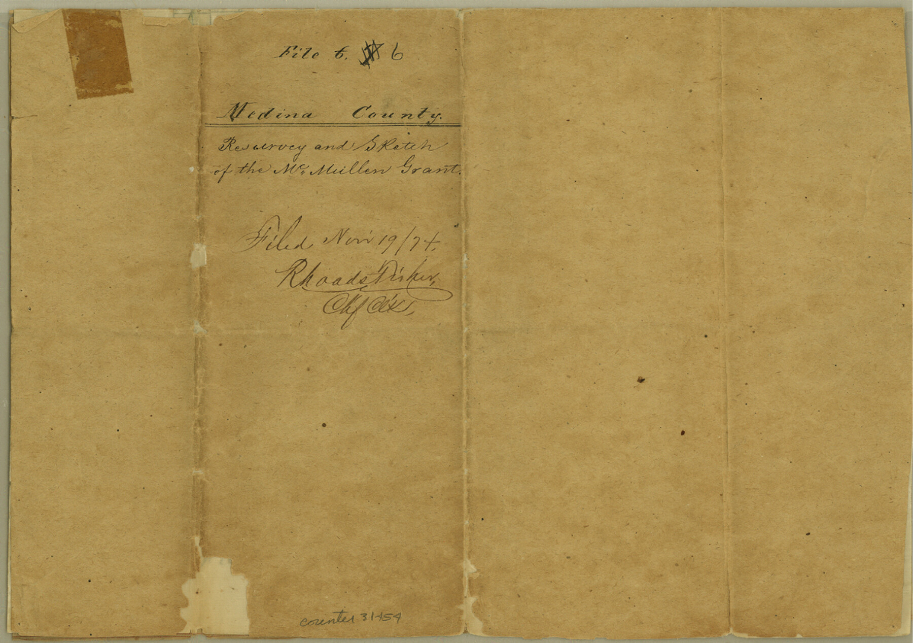
Medina County Sketch File 6
[Resurvey and sketch of the McMullen Grant]
-
Map/Doc
31454
-
Collection
General Map Collection
-
Object Dates
1874/11/19 (File Date)
1874 (Creation Date)
1874/11/7 (File Date)
-
People and Organizations
F.K. Potchiusky (Surveyor/Engineer)
-
Counties
Medina Bexar Atascosa
-
Subjects
Surveying Sketch File
-
Height x Width
8.4 x 12.0 inches
21.3 x 30.5 cm
-
Medium
paper, manuscript
-
Scale
1:4000
-
Features
[Road from] Quihi [sic] Ro
[Road] from Frio Town
Franzisca [sic] Perez Creek
Atascosa Creek
Chacon Creek
Cotton Wood Creek
Upper Elm Creek
Elm Creek
[Road from] Dhanis
San Jeronimo Creek
Castroville
Little Saus Creek
Portranca Creek
Lucas Creek
Road to San Antonio
Saus Creek
Rio Medina
Road from Bandera
Part of: General Map Collection
Menard County Working Sketch 10

Print $20.00
- Digital $50.00
Menard County Working Sketch 10
1938
Size 21.8 x 18.5 inches
Map/Doc 70957
Somervell County Rolled Sketch C

Print $3.00
- Digital $50.00
Somervell County Rolled Sketch C
Size 9.0 x 13.4 inches
Map/Doc 7793
Flight Mission No. CRK-5P, Frame 157, Refugio County

Print $20.00
- Digital $50.00
Flight Mission No. CRK-5P, Frame 157, Refugio County
1956
Size 18.8 x 22.6 inches
Map/Doc 86938
Flight Mission No. CRC-4R, Frame 153, Chambers County

Print $20.00
- Digital $50.00
Flight Mission No. CRC-4R, Frame 153, Chambers County
1956
Size 18.7 x 22.4 inches
Map/Doc 84916
Hutchinson County Rolled Sketch 39

Print $20.00
- Digital $50.00
Hutchinson County Rolled Sketch 39
1956
Size 29.5 x 32.1 inches
Map/Doc 7712
San Saba County Sketch File 7a

Print $6.00
- Digital $50.00
San Saba County Sketch File 7a
1883
Size 16.4 x 10.5 inches
Map/Doc 36428
Ector County Working Sketch 25

Print $20.00
- Digital $50.00
Ector County Working Sketch 25
1961
Size 29.6 x 34.2 inches
Map/Doc 68868
Kaufman County

Print $20.00
- Digital $50.00
Kaufman County
1942
Size 44.5 x 36.7 inches
Map/Doc 77335
East Part of Jeff Davis Co.

Print $20.00
- Digital $50.00
East Part of Jeff Davis Co.
1977
Size 46.4 x 35.7 inches
Map/Doc 73194
Trinity County Sketch File 18

Print $20.00
- Digital $50.00
Trinity County Sketch File 18
Size 21.9 x 20.7 inches
Map/Doc 12483
Duval County Sketch File 34a

Print $20.00
- Digital $50.00
Duval County Sketch File 34a
1935
Size 45.7 x 34.2 inches
Map/Doc 10369

You may also like
The Republic County of Goliad. Proposed, Late Fall 1837

Print $20.00
The Republic County of Goliad. Proposed, Late Fall 1837
2020
Size 15.1 x 21.7 inches
Map/Doc 96147
Eastland County Working Sketch 15

Print $20.00
- Digital $50.00
Eastland County Working Sketch 15
1919
Size 21.2 x 23.0 inches
Map/Doc 68796
General Highway Map, Falls County, Texas

Print $20.00
General Highway Map, Falls County, Texas
1961
Size 18.2 x 24.5 inches
Map/Doc 79462
[Pecos and Northern Texas Ry., Bailey Co., from Parmer Co. line through Lariat and Muleshoe to Lamb Co. line]
![64635, [Pecos and Northern Texas Ry., Bailey Co., from Parmer Co. line through Lariat and Muleshoe to Lamb Co. line], General Map Collection](https://historictexasmaps.com/wmedia_w700/maps/64635.tif.jpg)
Print $40.00
- Digital $50.00
[Pecos and Northern Texas Ry., Bailey Co., from Parmer Co. line through Lariat and Muleshoe to Lamb Co. line]
1912
Size 19.5 x 121.6 inches
Map/Doc 64635
Map of Uvalde Co.

Print $20.00
- Digital $50.00
Map of Uvalde Co.
1893
Size 42.7 x 42.5 inches
Map/Doc 16911
Kleberg County Rolled Sketch 12

Print $20.00
- Digital $50.00
Kleberg County Rolled Sketch 12
1994
Size 25.8 x 36.6 inches
Map/Doc 6553

Gillespie County Working Sketch 10

Print $20.00
- Digital $50.00
Gillespie County Working Sketch 10
1994
Size 45.0 x 35.1 inches
Map/Doc 63173
Uvalde County Working Sketch 39

Print $20.00
- Digital $50.00
Uvalde County Working Sketch 39
1975
Size 28.0 x 45.3 inches
Map/Doc 72109
Harris County Sketch File 20a

Print $4.00
- Digital $50.00
Harris County Sketch File 20a
Size 8.8 x 14.4 inches
Map/Doc 25371
Public Land on Mustang Island, Nueces County

Print $20.00
- Digital $50.00
Public Land on Mustang Island, Nueces County
1910
Size 17.0 x 17.5 inches
Map/Doc 1997
Mitchell County Sketch File 3

Print $4.00
- Digital $50.00
Mitchell County Sketch File 3
1902
Size 9.2 x 8.4 inches
Map/Doc 31690