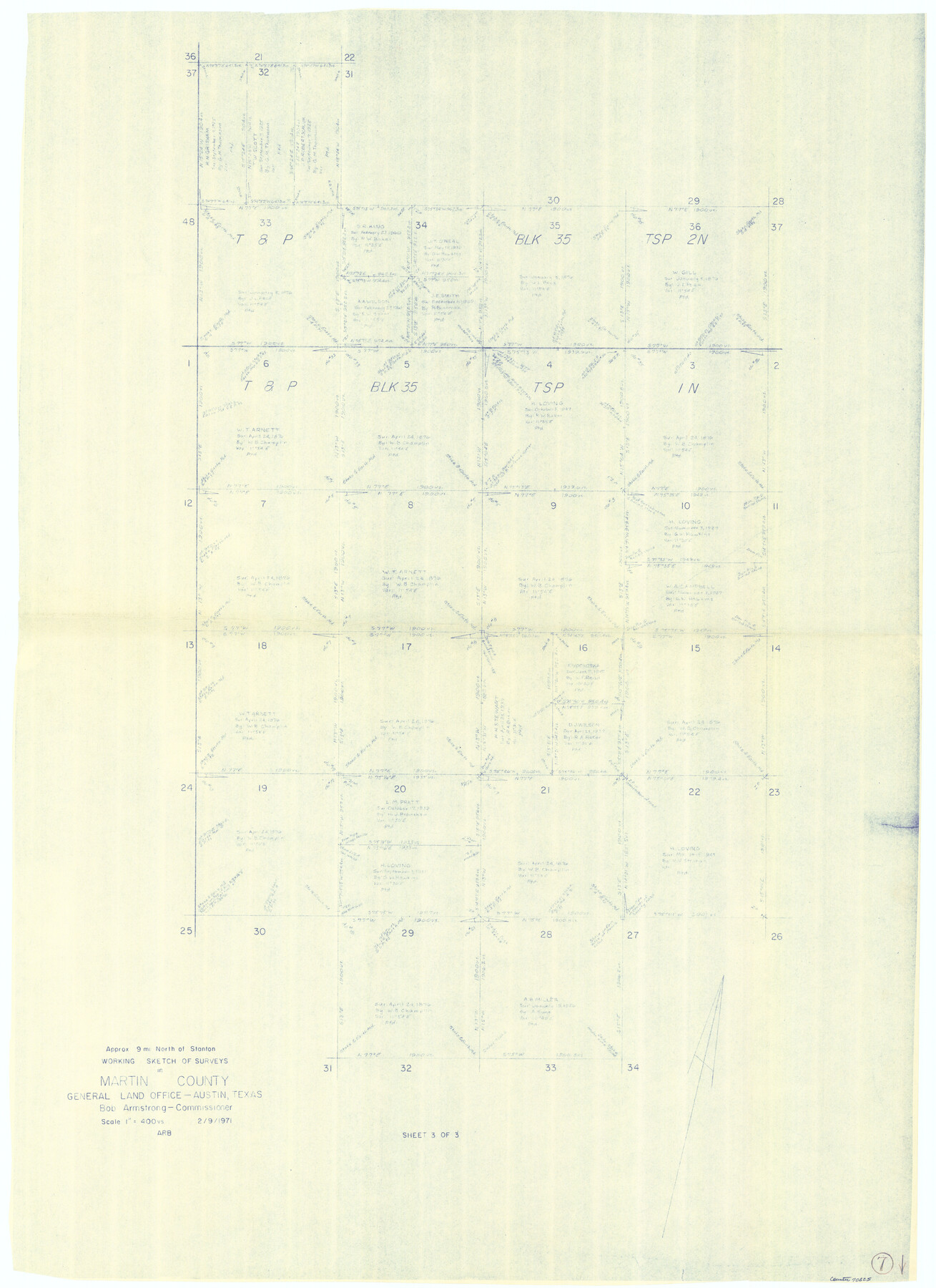
Martin County Working Sketch 7
-
Map/Doc
70825
-
Collection
General Map Collection
-
Object Dates
2/9/1971 (Creation Date)
-
Counties
Martin
-
Subjects
Surveying Working Sketch
-
Height x Width
43.0 x 31.3 inches
109.2 x 79.5 cm
-
Scale
1" = 400 varas
Part of: General Map Collection
Harrison County Working Sketch 28

Print $20.00
- Digital $50.00
Harrison County Working Sketch 28
1992
Size 17.0 x 17.0 inches
Map/Doc 66048
Stephens County Rolled Sketch 2

Print $20.00
- Digital $50.00
Stephens County Rolled Sketch 2
1919
Size 24.8 x 30.3 inches
Map/Doc 7839
Hamilton County

Print $20.00
- Digital $50.00
Hamilton County
1916
Size 41.4 x 40.5 inches
Map/Doc 66851
Flight Mission No. BRE-2P, Frame 65, Nueces County

Print $20.00
- Digital $50.00
Flight Mission No. BRE-2P, Frame 65, Nueces County
1956
Size 18.4 x 22.3 inches
Map/Doc 86760
Galveston Bay Entrance, Series No. 518

Print $40.00
- Digital $50.00
Galveston Bay Entrance, Series No. 518
1971
Size 18.0 x 49.9 inches
Map/Doc 69862
[G. C. & S. F. Ry., San Saba Branch, Right of Way Map, Brady to Melvin]
![61421, [G. C. & S. F. Ry., San Saba Branch, Right of Way Map, Brady to Melvin], General Map Collection](https://historictexasmaps.com/wmedia_w700/maps/61421.tif.jpg)
Print $40.00
- Digital $50.00
[G. C. & S. F. Ry., San Saba Branch, Right of Way Map, Brady to Melvin]
1916
Size 37.7 x 121.5 inches
Map/Doc 61421

Hall County Working Sketch 10

Print $20.00
- Digital $50.00
Hall County Working Sketch 10
1983
Size 34.3 x 42.9 inches
Map/Doc 63338
Denton County Working Sketch 13

Print $20.00
- Digital $50.00
Denton County Working Sketch 13
1962
Size 25.7 x 36.2 inches
Map/Doc 68618
Hood County Working Sketch 2

Print $20.00
- Digital $50.00
Hood County Working Sketch 2
1956
Size 20.5 x 25.5 inches
Map/Doc 66196
Flight Mission No. DQN-2K, Frame 139, Calhoun County

Print $20.00
- Digital $50.00
Flight Mission No. DQN-2K, Frame 139, Calhoun County
1953
Size 16.3 x 16.2 inches
Map/Doc 84308
Martin County Working Sketch Graphic Index

Print $20.00
- Digital $50.00
Martin County Working Sketch Graphic Index
1933
Size 44.1 x 37.8 inches
Map/Doc 76631
You may also like
No. 2 Chart of Corpus Christi Pass, Texas

Print $20.00
- Digital $50.00
No. 2 Chart of Corpus Christi Pass, Texas
1878
Size 18.4 x 27.3 inches
Map/Doc 73016
Kendall County Working Sketch 16

Print $20.00
- Digital $50.00
Kendall County Working Sketch 16
1967
Size 28.0 x 29.1 inches
Map/Doc 66688
Map of the Houston Ship Channel showing all industries, railways, public and private docks, and approximate all original surveys in the vicinity of the channel

Print $20.00
- Digital $50.00
Map of the Houston Ship Channel showing all industries, railways, public and private docks, and approximate all original surveys in the vicinity of the channel
1925
Size 14.5 x 30.2 inches
Map/Doc 4666
Childress County Sketch File 20

Print $4.00
- Digital $50.00
Childress County Sketch File 20
1895
Size 12.7 x 8.2 inches
Map/Doc 18296
Travis County Working Sketch 28

Print $20.00
- Digital $50.00
Travis County Working Sketch 28
1955
Size 31.5 x 30.7 inches
Map/Doc 69412
Nueces County Sketch File 65

Print $18.00
- Digital $50.00
Nueces County Sketch File 65
1981
Size 11.2 x 8.6 inches
Map/Doc 32980
Collingsworth County

Print $20.00
- Digital $50.00
Collingsworth County
1899
Size 42.7 x 39.7 inches
Map/Doc 4915
Galveston County NRC Article 33.136 Location Key Sheet

Print $20.00
- Digital $50.00
Galveston County NRC Article 33.136 Location Key Sheet
1994
Size 27.0 x 21.8 inches
Map/Doc 77021

Flight Mission No. DAH-10M, Frame 45, Orange County

Print $20.00
- Digital $50.00
Flight Mission No. DAH-10M, Frame 45, Orange County
1953
Size 18.8 x 22.5 inches
Map/Doc 86880
Hutchinson County Working Sketch 42

Print $20.00
- Digital $50.00
Hutchinson County Working Sketch 42
1978
Size 27.3 x 23.2 inches
Map/Doc 66402
[West Half of Potter County, South of River and West Half of Randall County]
![91828, [West Half of Potter County, South of River and West Half of Randall County], Twichell Survey Records](https://historictexasmaps.com/wmedia_w700/maps/91828.tif.jpg)
Print $20.00
- Digital $50.00
[West Half of Potter County, South of River and West Half of Randall County]
Size 25.9 x 43.0 inches
Map/Doc 91828