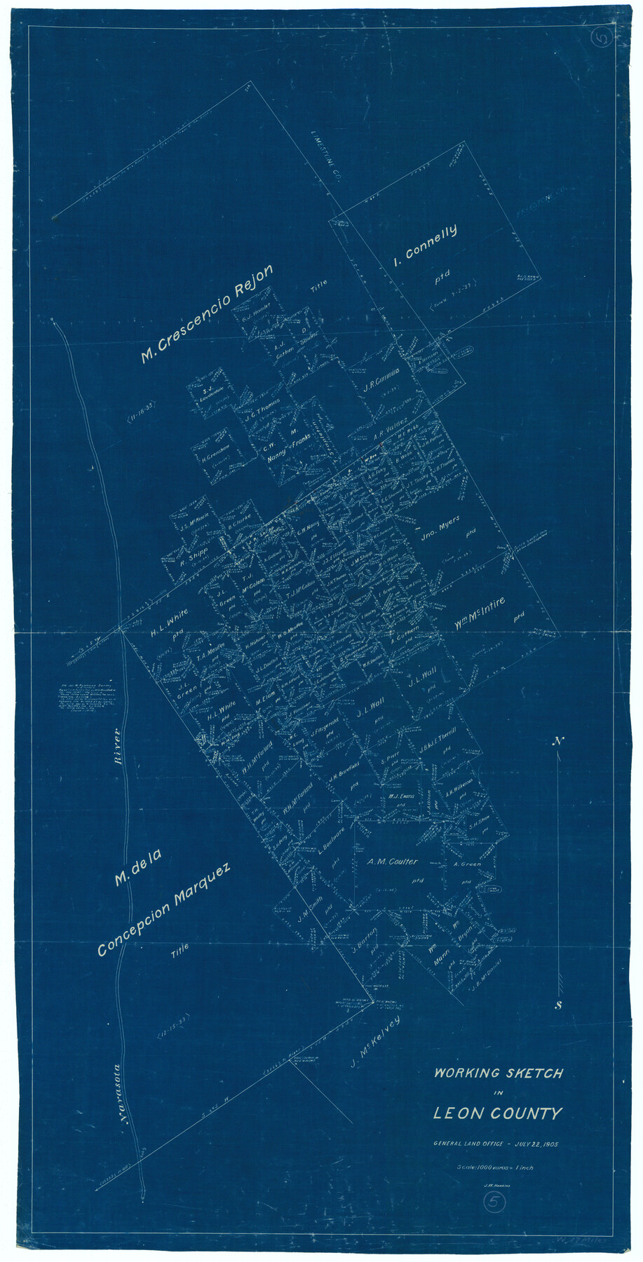
Leon County Working Sketch 5
-
Map/Doc
70404
-
Collection
General Map Collection
-
Object Dates
7/22/1905 (Creation Date)
-
People and Organizations
J.W. Hawkins (Draftsman)
-
Counties
Leon
-
Subjects
Surveying Working Sketch
-
Height x Width
40.5 x 20.6 inches
102.9 x 52.3 cm
-
Scale
1" = 1000 varas
Part of: General Map Collection
Liberty County Working Sketch 5

Print $20.00
- Digital $50.00
Liberty County Working Sketch 5
1901
Size 41.9 x 36.5 inches
Map/Doc 70464
Bandera County Working Sketch 49

Print $20.00
- Digital $50.00
Bandera County Working Sketch 49
1983
Size 28.2 x 43.3 inches
Map/Doc 67645
Zapata County Rolled Sketch 16

Print $20.00
- Digital $50.00
Zapata County Rolled Sketch 16
1940
Size 30.3 x 19.4 inches
Map/Doc 8314
Rusk County Working Sketch 6

Print $20.00
- Digital $50.00
Rusk County Working Sketch 6
1982
Size 32.8 x 32.9 inches
Map/Doc 63641
Map of Houston Co.

Print $40.00
- Digital $50.00
Map of Houston Co.
1896
Size 48.8 x 46.8 inches
Map/Doc 76035
Montague County Rolled Sketch 1

Print $20.00
- Digital $50.00
Montague County Rolled Sketch 1
Size 31.7 x 26.9 inches
Map/Doc 6786
Kinney County Working Sketch 26

Print $40.00
- Digital $50.00
Kinney County Working Sketch 26
1953
Size 37.9 x 53.6 inches
Map/Doc 70208
Polk County Sketch File 10

Print $4.00
- Digital $50.00
Polk County Sketch File 10
Size 5.2 x 6.4 inches
Map/Doc 34140

Duval County Working Sketch 37

Print $20.00
- Digital $50.00
Duval County Working Sketch 37
1958
Size 23.3 x 37.1 inches
Map/Doc 68761
Karte von Texas entworfen nach den Vermessungen welche in den Acten der General Land Office der Republic liegen bis zum Jahr 1839

Print $20.00
- Digital $50.00
Karte von Texas entworfen nach den Vermessungen welche in den Acten der General Land Office der Republic liegen bis zum Jahr 1839
1845
Size 18.6 x 14.1 inches
Map/Doc 96629
La Salle County Sketch File 32

Print $16.00
- Digital $50.00
La Salle County Sketch File 32
1883
Size 14.3 x 8.8 inches
Map/Doc 29576
You may also like
Killian Subdivision of the Northeast Portion of Section 42, Block AK

Print $20.00
- Digital $50.00
Killian Subdivision of the Northeast Portion of Section 42, Block AK
Size 15.9 x 14.1 inches
Map/Doc 92267
Robertson County Sketch File 3

Print $22.00
- Digital $50.00
Robertson County Sketch File 3
1860
Size 12.6 x 15.8 inches
Map/Doc 35350
Flight Mission No. BRA-6M, Frame 84, Jefferson County

Print $20.00
- Digital $50.00
Flight Mission No. BRA-6M, Frame 84, Jefferson County
1953
Size 18.6 x 22.4 inches
Map/Doc 85428
McMullen County Sketch File 16

Print $24.00
- Digital $50.00
McMullen County Sketch File 16
1876
Size 5.3 x 8.3 inches
Map/Doc 31365
Kimble County Working Sketch 43

Print $20.00
- Digital $50.00
Kimble County Working Sketch 43
1949
Size 34.6 x 37.6 inches
Map/Doc 70111
Map showing the Kansas & Gulf Short Line R.R. and the Texas & St. Louis R'y with its branches, extensions and connections.

Print $20.00
Map showing the Kansas & Gulf Short Line R.R. and the Texas & St. Louis R'y with its branches, extensions and connections.
1881
Size 30.3 x 30.9 inches
Map/Doc 93608
Panhandle of Texas

Print $20.00
- Digital $50.00
Panhandle of Texas
1907
Size 11.4 x 14.4 inches
Map/Doc 95889
Flight Mission No. CLL-3N, Frame 7, Willacy County

Print $20.00
- Digital $50.00
Flight Mission No. CLL-3N, Frame 7, Willacy County
1954
Size 18.4 x 22.1 inches
Map/Doc 87073
[Sketch for Mineral Application 24072, San Jacinto River]
![65598, [Sketch for Mineral Application 24072, San Jacinto River], General Map Collection](https://historictexasmaps.com/wmedia_w700/maps/65598.tif.jpg)
Print $20.00
- Digital $50.00
[Sketch for Mineral Application 24072, San Jacinto River]
1929
Size 24.6 x 18.3 inches
Map/Doc 65598
Llano County Sketch File 20

Print $4.00
- Digital $50.00
Llano County Sketch File 20
1873
Size 12.6 x 8.2 inches
Map/Doc 30405
Crockett County Rolled Sketch 71

Print $40.00
- Digital $50.00
Crockett County Rolled Sketch 71
1949
Size 54.5 x 38.9 inches
Map/Doc 8722
General Highway Map. Detail of Cities and Towns in Lubbock County, Texas [Lubbock and vicinity]
![79181, General Highway Map. Detail of Cities and Towns in Lubbock County, Texas [Lubbock and vicinity], Texas State Library and Archives](https://historictexasmaps.com/wmedia_w700/maps/79181.tif.jpg)
Print $20.00
General Highway Map. Detail of Cities and Towns in Lubbock County, Texas [Lubbock and vicinity]
1940
Size 18.3 x 24.8 inches
Map/Doc 79181