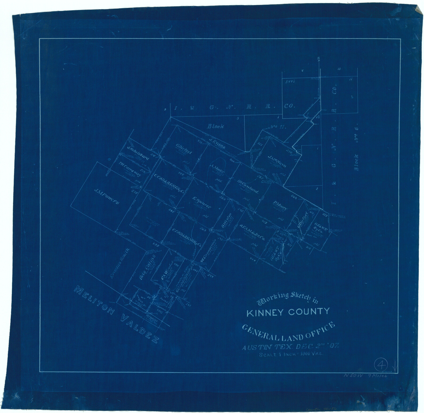
Kinney County Working Sketch 4
-
Map/Doc
70186
-
Collection
General Map Collection
-
Object Dates
12/2/1907 (Creation Date)
-
Counties
Kinney
-
Subjects
Surveying Working Sketch
-
Height x Width
21.1 x 21.6 inches
53.6 x 54.9 cm
-
Scale
1" = 1000 varas
Part of: General Map Collection
Lavaca County Working Sketch 13

Print $20.00
- Digital $50.00
Lavaca County Working Sketch 13
1958
Size 23.5 x 29.1 inches
Map/Doc 70366
Midland County Working Sketch 32

Print $40.00
- Digital $50.00
Midland County Working Sketch 32
1971
Size 51.3 x 35.5 inches
Map/Doc 71013
Loving County Working Sketch 7

Print $20.00
- Digital $50.00
Loving County Working Sketch 7
1949
Size 23.4 x 26.3 inches
Map/Doc 70639
Cooke County Working Sketch Graphic Index

Print $20.00
- Digital $50.00
Cooke County Working Sketch Graphic Index
1935
Size 44.7 x 38.2 inches
Map/Doc 76504
Angelina County Working Sketch 30

Print $20.00
- Digital $50.00
Angelina County Working Sketch 30
1955
Size 26.2 x 27.7 inches
Map/Doc 67112
Flight Mission No. DQN-1K, Frame 144, Calhoun County

Print $20.00
- Digital $50.00
Flight Mission No. DQN-1K, Frame 144, Calhoun County
1953
Size 18.5 x 22.2 inches
Map/Doc 84207
Flight Mission No. DQO-3K, Frame 22, Galveston County

Print $20.00
- Digital $50.00
Flight Mission No. DQO-3K, Frame 22, Galveston County
1952
Size 18.8 x 22.5 inches
Map/Doc 85063
Coleman County Sketch File 27a

Print $20.00
- Digital $50.00
Coleman County Sketch File 27a
Size 22.6 x 24.3 inches
Map/Doc 11121
Crockett County Working Sketch 93

Print $40.00
- Digital $50.00
Crockett County Working Sketch 93
1979
Size 43.5 x 65.4 inches
Map/Doc 68426
Flight Mission No. CGI-4N, Frame 25, Cameron County

Print $20.00
- Digital $50.00
Flight Mission No. CGI-4N, Frame 25, Cameron County
1954
Size 18.7 x 22.4 inches
Map/Doc 84658
Palo Pinto County Rolled Sketch 5

Print $40.00
- Digital $50.00
Palo Pinto County Rolled Sketch 5
Size 54.4 x 36.0 inches
Map/Doc 76021
Runnels County Rolled Sketch 28

Print $20.00
- Digital $50.00
Runnels County Rolled Sketch 28
1928
Size 19.8 x 39.4 inches
Map/Doc 7516
You may also like
Foard County Working Sketch 13

Print $40.00
- Digital $50.00
Foard County Working Sketch 13
1981
Size 44.0 x 51.2 inches
Map/Doc 69204

[Center line of Blk. 36, T1N]
![89822, [Center line of Blk. 36, T1N], Twichell Survey Records](https://historictexasmaps.com/wmedia_w700/maps/89822-1.tif.jpg)
Print $40.00
- Digital $50.00
[Center line of Blk. 36, T1N]
1907
Size 12.6 x 69.7 inches
Map/Doc 89822
Controlled Mosaic by Jack Amman Photogrammetric Engineers, Inc - Sheet 37

Print $20.00
- Digital $50.00
Controlled Mosaic by Jack Amman Photogrammetric Engineers, Inc - Sheet 37
1954
Size 20.0 x 24.0 inches
Map/Doc 83492
Dimmit County Sketch File 5

Print $42.00
- Digital $50.00
Dimmit County Sketch File 5
1849
Size 8.6 x 8.0 inches
Map/Doc 21064
Flight Mission No. DIX-3P, Frame 137, Aransas County

Print $20.00
- Digital $50.00
Flight Mission No. DIX-3P, Frame 137, Aransas County
1956
Size 17.8 x 18.4 inches
Map/Doc 83767
Map of Angelina County

Print $40.00
- Digital $50.00
Map of Angelina County
1899
Size 40.1 x 53.6 inches
Map/Doc 4868
Jeff Davis County Working Sketch 9

Print $20.00
- Digital $50.00
Jeff Davis County Working Sketch 9
1943
Size 28.5 x 27.3 inches
Map/Doc 66504
Hardin County Sketch File XYZ

Print $4.00
- Digital $50.00
Hardin County Sketch File XYZ
1894
Size 11.3 x 8.7 inches
Map/Doc 25073
Potter County Working Sketch 4

Print $20.00
- Digital $50.00
Potter County Working Sketch 4
1920
Size 41.9 x 34.1 inches
Map/Doc 71664
Flight Mission No. DQO-2K, Frame 160, Galveston County

Print $20.00
- Digital $50.00
Flight Mission No. DQO-2K, Frame 160, Galveston County
1952
Size 18.7 x 22.4 inches
Map/Doc 85049
The Judicial District/County of Trinity. Abolished, Spring 1842

Print $20.00
The Judicial District/County of Trinity. Abolished, Spring 1842
2020
Size 14.7 x 21.7 inches
Map/Doc 96351