[Surveys above the San Antonio Road]
Atlas G, Page 4, Sketch 18 (G-4-18)
G-4-18
-
Map/Doc
69758
-
Collection
General Map Collection
-
Object Dates
1846 (Creation Date)
-
People and Organizations
James Howlet (Surveyor/Engineer)
-
Counties
Burleson
-
Subjects
Atlas
-
Height x Width
8.5 x 7.6 inches
21.6 x 19.3 cm
-
Medium
paper, manuscript
-
Comments
Conserved in 2003.
-
Features
San Antonio Road
Part of: General Map Collection
Bell County Sketch File 22

Print $4.00
- Digital $50.00
Bell County Sketch File 22
1872
Size 10.2 x 8.0 inches
Map/Doc 14412
Edwards County Working Sketch 54


Print $20.00
- Digital $50.00
Edwards County Working Sketch 54
1951
Size 19.2 x 28.5 inches
Map/Doc 68930
Pecos County Sketch File 111


Print $18.00
- Digital $50.00
Pecos County Sketch File 111
Size 13.3 x 8.8 inches
Map/Doc 34052
Fort Bend County Sketch File 33

Print $20.00
- Digital $50.00
Fort Bend County Sketch File 33
1889
Size 23.6 x 24.5 inches
Map/Doc 11513
Gulf of Mexico

Print $20.00
- Digital $50.00
Gulf of Mexico
1908
Size 18.3 x 28.0 inches
Map/Doc 72661
Reeves County Working Sketch 2


Print $20.00
- Digital $50.00
Reeves County Working Sketch 2
1903
Size 22.6 x 42.4 inches
Map/Doc 63444
Travis County Rolled Sketch 28


Print $20.00
- Digital $50.00
Travis County Rolled Sketch 28
1941
Size 22.7 x 27.0 inches
Map/Doc 8030
Hays County Sketch File 25a

Print $2.00
- Digital $50.00
Hays County Sketch File 25a
1881
Size 10.2 x 8.0 inches
Map/Doc 26251
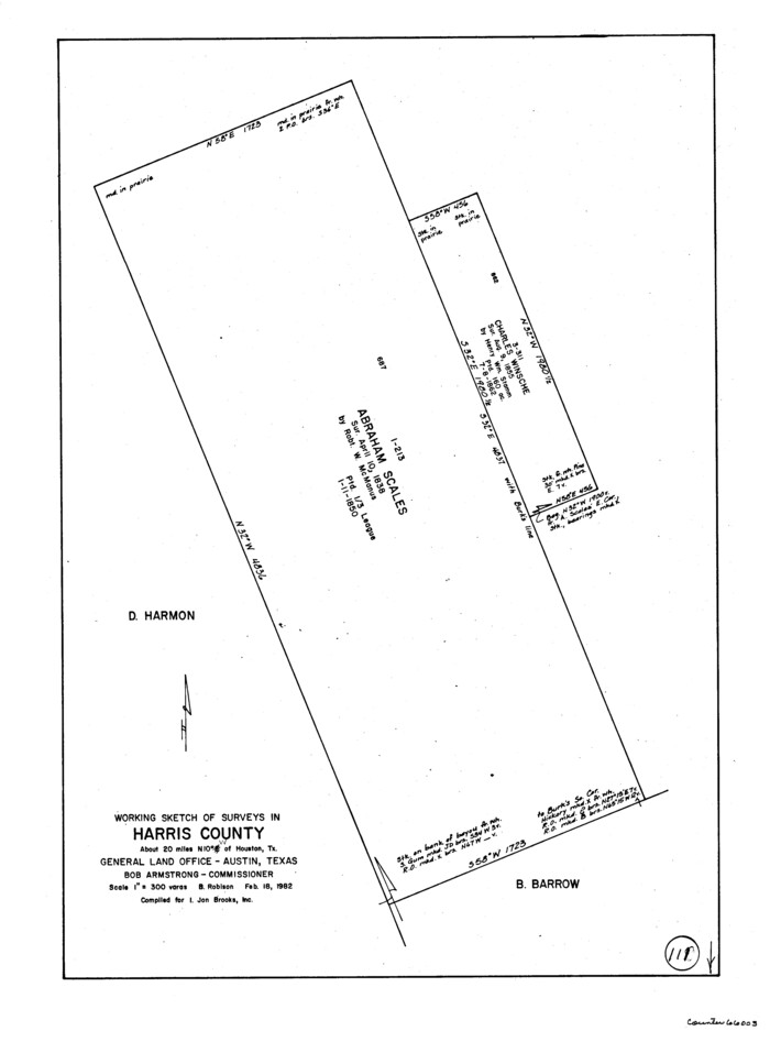
Harris County Working Sketch 111

Print $20.00
- Digital $50.00
Harris County Working Sketch 111
1982
Size 21.7 x 16.0 inches
Map/Doc 66003
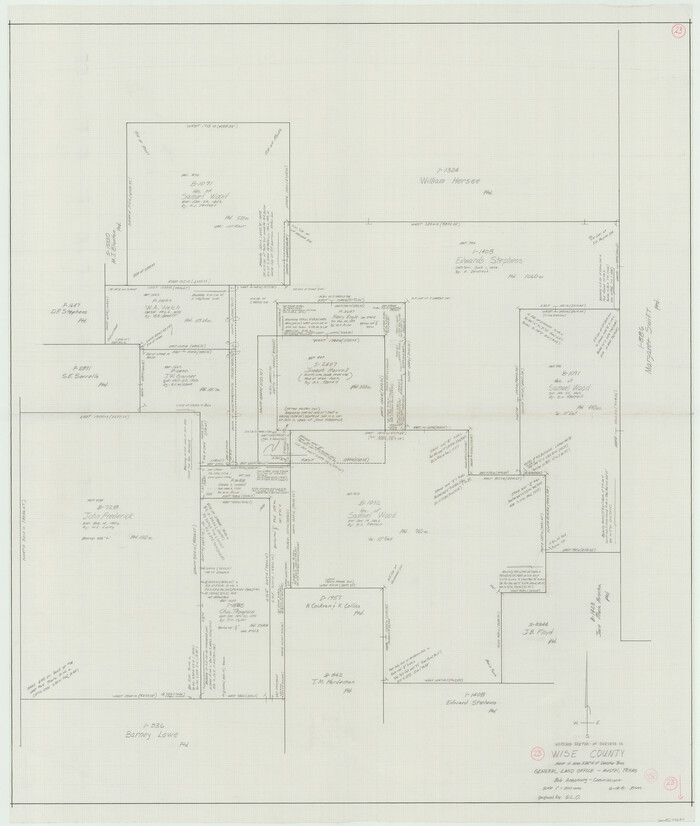
Wise County Working Sketch 23

Print $20.00
- Digital $50.00
Wise County Working Sketch 23
1981
Size 43.6 x 36.9 inches
Map/Doc 72637
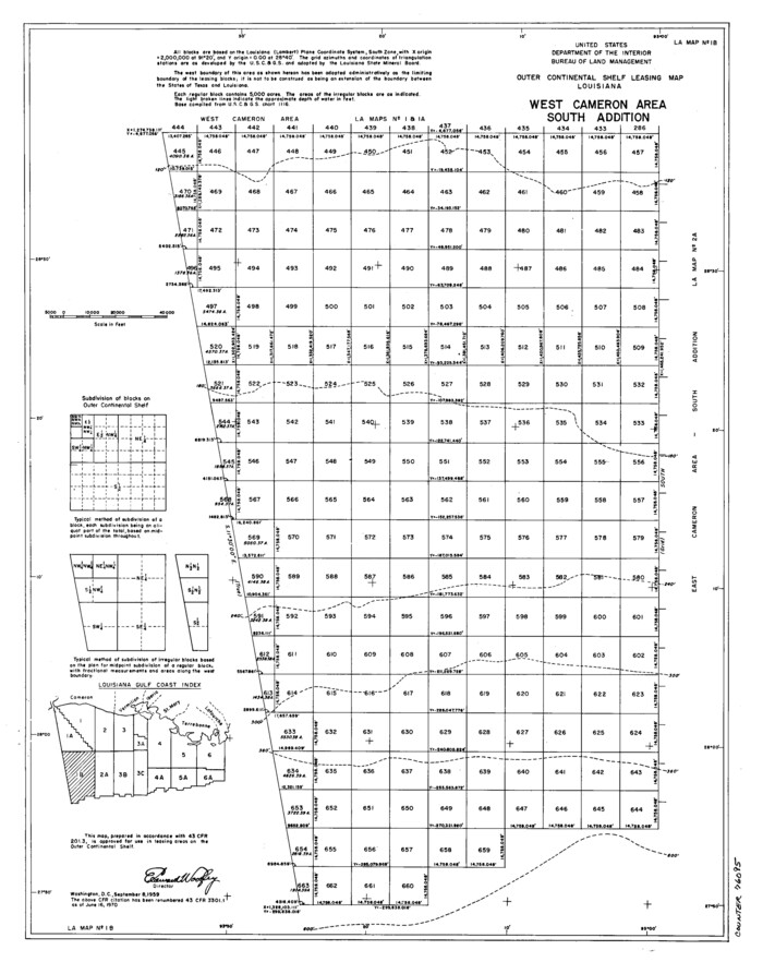
Outer Continental Shelf Leasing Maps (Louisiana Offshore Operations)

Print $20.00
- Digital $50.00
Outer Continental Shelf Leasing Maps (Louisiana Offshore Operations)
1959
Size 17.8 x 14.1 inches
Map/Doc 76095
Carson County Working Sketch 3


Print $20.00
- Digital $50.00
Carson County Working Sketch 3
1922
Size 18.3 x 26.3 inches
Map/Doc 67874
You may also like
Duval County Working Sketch 57


Print $20.00
- Digital $50.00
Duval County Working Sketch 57
1990
Size 30.3 x 25.4 inches
Map/Doc 68781
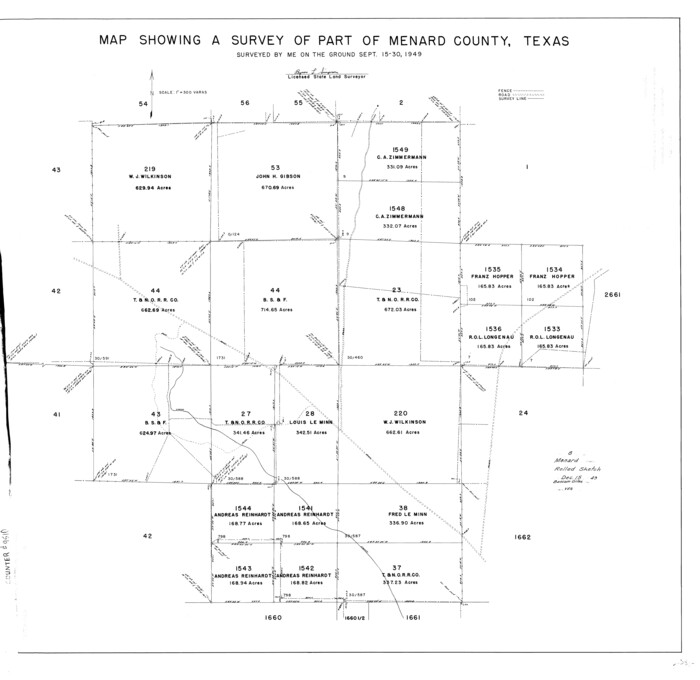
Menard County Rolled Sketch 8

Print $20.00
- Digital $50.00
Menard County Rolled Sketch 8
1949
Size 36.6 x 37.7 inches
Map/Doc 9510
The Republic County of Harris. Proposed, Late Fall 1837-May 15, 1838


Print $20.00
The Republic County of Harris. Proposed, Late Fall 1837-May 15, 1838
2020
Size 17.7 x 21.7 inches
Map/Doc 96162
A Few Things About Rice as grown on line of Southern Pacific in Texas and Louisiana

A Few Things About Rice as grown on line of Southern Pacific in Texas and Louisiana
1904
Map/Doc 96723
Austin County Sketch File 7

Print $40.00
- Digital $50.00
Austin County Sketch File 7
1894
Size 18.8 x 15.7 inches
Map/Doc 10872
Red River County Rolled Sketch 3

Print $20.00
- Digital $50.00
Red River County Rolled Sketch 3
Size 36.9 x 31.0 inches
Map/Doc 9840
Marion County Sketch File 18

Print $77.00
- Digital $50.00
Marion County Sketch File 18
1913
Size 10.3 x 12.3 inches
Map/Doc 30590
[Township 3 North, Block 31]
![91217, [Township 3 North, Block 31], Twichell Survey Records](https://historictexasmaps.com/wmedia_w700/maps/91217-1.tif.jpg)
![91217, [Township 3 North, Block 31], Twichell Survey Records](https://historictexasmaps.com/wmedia_w700/maps/91217-1.tif.jpg)
Print $3.00
- Digital $50.00
[Township 3 North, Block 31]
Size 11.6 x 13.4 inches
Map/Doc 91217
Nueces County Rolled Sketch 40

Print $101.00
- Digital $50.00
Nueces County Rolled Sketch 40
1962
Size 10.3 x 15.3 inches
Map/Doc 47850
Harris County NRC Article 33.136 Sketch 7


Print $20.00
- Digital $50.00
Harris County NRC Article 33.136 Sketch 7
2004
Size 24.3 x 18.5 inches
Map/Doc 82991
[Sketch for Mineral Application 26501 - Sabine River, T. A. Oldhausen]
![2838, [Sketch for Mineral Application 26501 - Sabine River, T. A. Oldhausen], General Map Collection](https://historictexasmaps.com/wmedia_w700/maps/2838.tif.jpg)
![2838, [Sketch for Mineral Application 26501 - Sabine River, T. A. Oldhausen], General Map Collection](https://historictexasmaps.com/wmedia_w700/maps/2838.tif.jpg)
Print $20.00
- Digital $50.00
[Sketch for Mineral Application 26501 - Sabine River, T. A. Oldhausen]
1931
Size 24.3 x 36.1 inches
Map/Doc 2838
![69758, [Surveys above the San Antonio Road], General Map Collection](https://historictexasmaps.com/wmedia_w1800h1800/maps/69758.tif.jpg)
