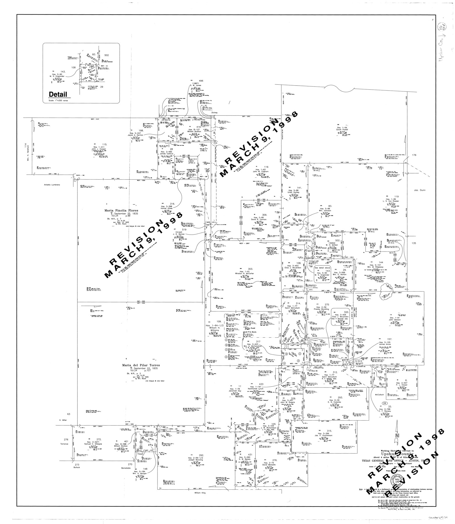
Upshur County Working Sketch 16, revised
-
Map/Doc
69574
-
Collection
General Map Collection
-
Object Dates
6/11/1997 (Creation Date)
3/9/1998 (Revision Date)
-
People and Organizations
Joan Kilpatrick (Draftsman)
-
Counties
Upshur
-
Subjects
Surveying Working Sketch
-
Height x Width
42.9 x 37.2 inches
109.0 x 94.5 cm
-
Scale
1" = 500 varas
Related maps
Upshur County Working Sketch 16

Print $20.00
- Digital $50.00
Upshur County Working Sketch 16
1997
Size 43.7 x 36.0 inches
Map/Doc 78229
Part of: General Map Collection
Swisher County

Print $20.00
- Digital $50.00
Swisher County
1879
Size 21.1 x 18.4 inches
Map/Doc 4064
Brown County Working Sketch 18

Print $20.00
- Digital $50.00
Brown County Working Sketch 18
1994
Size 43.0 x 29.3 inches
Map/Doc 67783
Map of Kerr County

Print $40.00
- Digital $50.00
Map of Kerr County
1895
Size 41.3 x 57.1 inches
Map/Doc 7824
Chambers County NRC Article 33.136 Location Key Sheet

Print $20.00
- Digital $50.00
Chambers County NRC Article 33.136 Location Key Sheet
1983
Size 24.0 x 44.0 inches
Map/Doc 77014
Williamson County Sketch File 3

Print $24.00
- Digital $50.00
Williamson County Sketch File 3
1853
Size 13.0 x 8.2 inches
Map/Doc 40301
Newton County Working Sketch 44

Print $20.00
- Digital $50.00
Newton County Working Sketch 44
1992
Size 19.2 x 24.6 inches
Map/Doc 71290

Dallas County Working Sketch Graphic Index

Print $20.00
- Digital $50.00
Dallas County Working Sketch Graphic Index
1942
Size 43.9 x 36.7 inches
Map/Doc 76517
Chambers County Sketch File 8

Print $4.00
- Digital $50.00
Chambers County Sketch File 8
Size 8.0 x 10.7 inches
Map/Doc 17544
Bosque County Working Sketch 13

Print $20.00
- Digital $50.00
Bosque County Working Sketch 13
1957
Size 17.2 x 14.5 inches
Map/Doc 67446
Presidio County Rolled Sketch 80A

Print $20.00
- Digital $50.00
Presidio County Rolled Sketch 80A
Size 26.9 x 28.9 inches
Map/Doc 7367
Denton County Working Sketch 7

Print $20.00
- Digital $50.00
Denton County Working Sketch 7
1958
Size 26.0 x 28.8 inches
Map/Doc 68612
You may also like
Van Zandt County Sketch File 16 1/2

Print $4.00
- Digital $50.00
Van Zandt County Sketch File 16 1/2
1858
Size 11.0 x 7.8 inches
Map/Doc 39414
Gaines County Sketch

Print $3.00
- Digital $50.00
Gaines County Sketch
Size 9.7 x 16.1 inches
Map/Doc 92948
Presidio County Rolled Sketch 120

Print $49.00
- Digital $50.00
Presidio County Rolled Sketch 120
Size 9.9 x 15.0 inches
Map/Doc 48816
Flight Mission No. CUG-2P, Frame 22, Kleberg County

Print $20.00
- Digital $50.00
Flight Mission No. CUG-2P, Frame 22, Kleberg County
1956
Size 18.7 x 22.4 inches
Map/Doc 86186
Western Cotton Oil Co. Property Lamb County, Texas

Print $20.00
- Digital $50.00
Western Cotton Oil Co. Property Lamb County, Texas
1951
Size 20.9 x 16.9 inches
Map/Doc 92166
Flight Mission No. DAG-18K, Frame 72, Matagorda County

Print $20.00
- Digital $50.00
Flight Mission No. DAG-18K, Frame 72, Matagorda County
1952
Size 18.5 x 22.2 inches
Map/Doc 86365
Crockett County Rolled Sketch 39
Print $20.00
- Digital $50.00
Crockett County Rolled Sketch 39
1935
Size 30.3 x 43.0 inches
Map/Doc 8705
Jeff Davis County Sketch File 44

Print $8.00
- Digital $50.00
Jeff Davis County Sketch File 44
1886
Size 8.5 x 8.0 inches
Map/Doc 28071
Nueces County Rolled Sketch 4

Print $20.00
- Digital $50.00
Nueces County Rolled Sketch 4
1910
Size 39.8 x 38.5 inches
Map/Doc 9583
Crockett County Working Sketch 64

Print $20.00
- Digital $50.00
Crockett County Working Sketch 64
1957
Size 19.0 x 25.4 inches
Map/Doc 68397
Trinity County Sketch File 33A

Print $6.00
- Digital $50.00
Trinity County Sketch File 33A
1920
Size 6.5 x 6.8 inches
Map/Doc 38575
Throckmorton County Working Sketch 3

Print $20.00
- Digital $50.00
Throckmorton County Working Sketch 3
1924
Size 19.8 x 23.8 inches
Map/Doc 62112