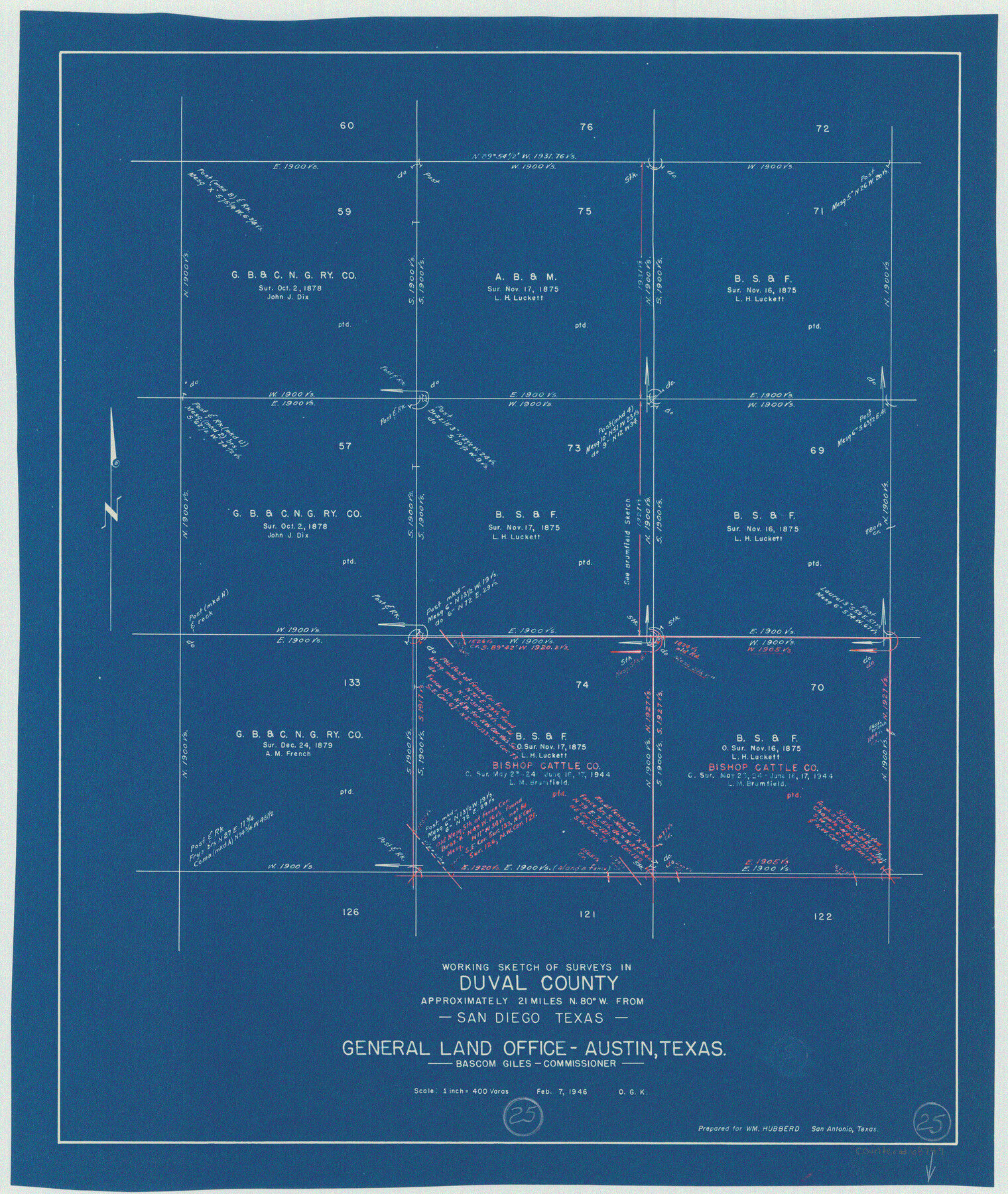
Duval County Working Sketch 25
-
Map/Doc
68749
-
Collection
General Map Collection
-
Object Dates
2/7/1946 (Creation Date)
-
People and Organizations
Otto G. Kurio (Draftsman)
-
Counties
Duval
-
Subjects
Surveying Working Sketch
-
Height x Width
23.7 x 20.1 inches
60.2 x 51.1 cm
-
Scale
1" = 400 varas
Part of: General Map Collection
Goliad County Rolled Sketch 1

Print $20.00
- Digital $50.00
Goliad County Rolled Sketch 1
1941
Size 31.4 x 38.5 inches
Map/Doc 6023
Jeff Davis County Working Sketch 16

Print $20.00
- Digital $50.00
Jeff Davis County Working Sketch 16
1954
Size 19.4 x 17.3 inches
Map/Doc 66511
Southern Part of Laguna Madre

Print $20.00
- Digital $50.00
Southern Part of Laguna Madre
1952
Size 44.7 x 35.2 inches
Map/Doc 73537
Galveston County Rolled Sketch 25

Print $20.00
- Digital $50.00
Galveston County Rolled Sketch 25
1965
Size 18.6 x 24.2 inches
Map/Doc 5961
Reeves County Working Sketch 10

Print $20.00
- Digital $50.00
Reeves County Working Sketch 10
1956
Size 26.0 x 37.2 inches
Map/Doc 63453
Val Verde County Working Sketch 29

Print $20.00
- Digital $50.00
Val Verde County Working Sketch 29
1937
Size 20.2 x 41.6 inches
Map/Doc 72164
Gillespie County Working Sketch 13

Print $20.00
- Digital $50.00
Gillespie County Working Sketch 13
2008
Size 22.8 x 31.8 inches
Map/Doc 88831
Aransas Pass to Baffin Bay

Print $20.00
- Digital $50.00
Aransas Pass to Baffin Bay
1973
Size 42.0 x 35.1 inches
Map/Doc 73418
Flight Mission No. CLL-1N, Frame 194, Willacy County

Print $20.00
- Digital $50.00
Flight Mission No. CLL-1N, Frame 194, Willacy County
1954
Size 18.5 x 22.1 inches
Map/Doc 87064
Duval County Sketch File 82

Print $10.00
- Digital $50.00
Duval County Sketch File 82
1933
Size 11.3 x 8.8 inches
Map/Doc 21516
Lipscomb County Working Sketch 1

Print $20.00
- Digital $50.00
Lipscomb County Working Sketch 1
1964
Size 30.7 x 34.1 inches
Map/Doc 70577
Orange County Sketch File 9a

Print $4.00
- Digital $50.00
Orange County Sketch File 9a
1873
Size 8.1 x 7.5 inches
Map/Doc 33313
You may also like
Houston County Sketch File 1b

Print $4.00
- Digital $50.00
Houston County Sketch File 1b
1857
Size 8.5 x 7.9 inches
Map/Doc 26744
Leon County Sketch File 34

Print $10.00
- Digital $50.00
Leon County Sketch File 34
1962
Size 11.1 x 8.7 inches
Map/Doc 94787
Deaf Smith County Sketch File 6

Print $12.00
- Digital $50.00
Deaf Smith County Sketch File 6
1912
Size 7.0 x 7.4 inches
Map/Doc 20658
Montague County Working Sketch 33

Print $20.00
- Digital $50.00
Montague County Working Sketch 33
1976
Size 30.6 x 43.3 inches
Map/Doc 71099
Parker County Sketch File A

Print $4.00
- Digital $50.00
Parker County Sketch File A
1857
Size 7.9 x 8.2 inches
Map/Doc 33507
Tarrant County Working Sketch 20

Print $20.00
- Digital $50.00
Tarrant County Working Sketch 20
1999
Size 15.4 x 16.8 inches
Map/Doc 62437
Borden County Rolled Sketch 7A

Print $20.00
- Digital $50.00
Borden County Rolled Sketch 7A
1940
Size 16.4 x 18.9 inches
Map/Doc 5158
Official Map of the State of Texas to accompany the Statistical and Descriptive Work, "Resources, Soil and Climate of Texas"

Print $20.00
Official Map of the State of Texas to accompany the Statistical and Descriptive Work, "Resources, Soil and Climate of Texas"
1882
Size 32.3 x 34.4 inches
Map/Doc 76257
Van Zandt County Sketch File 29

Print $4.00
- Digital $50.00
Van Zandt County Sketch File 29
1859
Size 8.3 x 6.2 inches
Map/Doc 39453
Webb County Working Sketch 83

Print $20.00
- Digital $50.00
Webb County Working Sketch 83
1980
Size 20.7 x 34.9 inches
Map/Doc 72450
From Citizens of Shelby County Living on the South Side of Patroon Bayou to Have the Area Annexed to San Augustine County, November 1, 1841

Print $20.00
From Citizens of Shelby County Living on the South Side of Patroon Bayou to Have the Area Annexed to San Augustine County, November 1, 1841
2020
Size 12.1 x 21.7 inches
Map/Doc 96393
Right of Way and Track Map Texas & New Orleans R.R. Co. operated by the T. & N. O. R.R. Co. Dallas-Sabine Branch

Print $40.00
- Digital $50.00
Right of Way and Track Map Texas & New Orleans R.R. Co. operated by the T. & N. O. R.R. Co. Dallas-Sabine Branch
1918
Size 25.8 x 56.1 inches
Map/Doc 64155