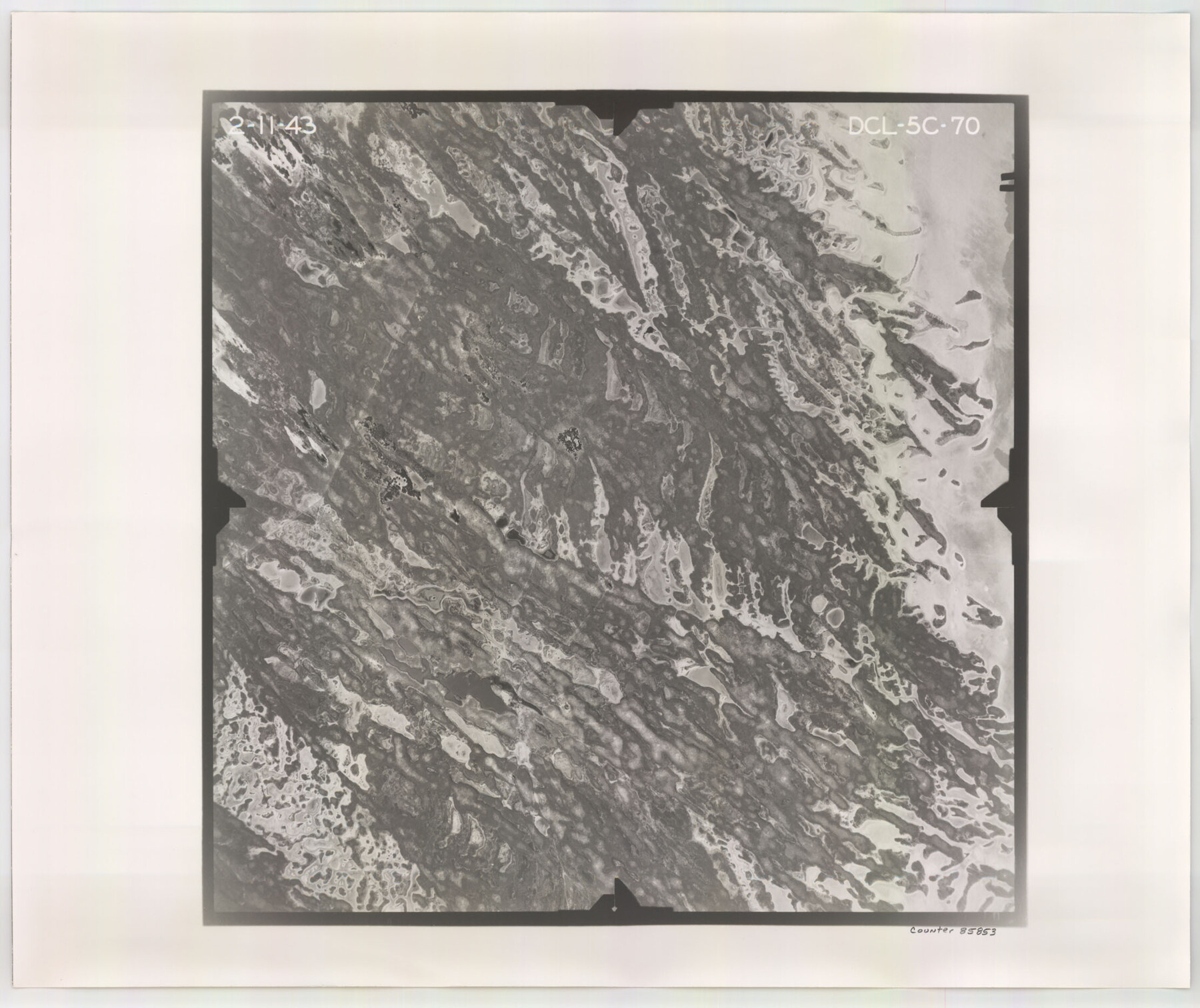
Flight Mission No. DCL-5C, Frame 70, Kenedy County
DCL-5C-70
-
Map/Doc
85853
-
Collection
General Map Collection
-
Object Dates
1943/2/11 (Creation Date)
-
People and Organizations
U. S. Department of Agriculture (Publisher)
-
Counties
Kenedy
-
Subjects
Aerial Photograph
-
Height x Width
18.7 x 22.2 inches
47.5 x 56.4 cm
-
Comments
Flown by Aerial Surveys of Pittsburgh, Inc. of Pittsburgh, Pennsylvania.
Part of: General Map Collection
Van Zandt County Sketch File 29a

Print $4.00
- Digital $50.00
Van Zandt County Sketch File 29a
1859
Size 14.2 x 6.6 inches
Map/Doc 39455
Matagorda County Working Sketch 20

Print $20.00
- Digital $50.00
Matagorda County Working Sketch 20
1961
Size 26.1 x 37.7 inches
Map/Doc 70878
Mills County Working Sketch 19

Print $20.00
- Digital $50.00
Mills County Working Sketch 19
1963
Size 18.6 x 31.2 inches
Map/Doc 71049
Marion County Working Sketch 4

Print $20.00
- Digital $50.00
Marion County Working Sketch 4
Size 15.7 x 19.1 inches
Map/Doc 70779
Interfaith's Official Map: The Woodlands, a real hometown for people and companies

Interfaith's Official Map: The Woodlands, a real hometown for people and companies
1997
Size 22.4 x 36.5 inches
Map/Doc 94286
Flight Mission No. BRA-16M, Frame 179, Jefferson County

Print $20.00
- Digital $50.00
Flight Mission No. BRA-16M, Frame 179, Jefferson County
1953
Size 18.7 x 22.2 inches
Map/Doc 85777
Jefferson County Working Sketch 9

Print $20.00
- Digital $50.00
Jefferson County Working Sketch 9
1937
Size 19.5 x 22.0 inches
Map/Doc 66552
The Coast & Bays of Western Texas, St. Joseph's and Mustang Islands from actual survey, the remainder from county maps, etc.

Print $20.00
- Digital $50.00
The Coast & Bays of Western Texas, St. Joseph's and Mustang Islands from actual survey, the remainder from county maps, etc.
1857
Size 28.0 x 18.3 inches
Map/Doc 72767
Flight Mission No. CGN-3P, Frame 53, San Patricio County

Print $20.00
- Digital $50.00
Flight Mission No. CGN-3P, Frame 53, San Patricio County
1956
Size 18.6 x 22.3 inches
Map/Doc 86983
South Part Pecos County

Print $20.00
- Digital $50.00
South Part Pecos County
1976
Size 36.8 x 44.2 inches
Map/Doc 73262
Houston County Sketch File 30

Print $4.00
- Digital $50.00
Houston County Sketch File 30
1895
Size 8.3 x 7.1 inches
Map/Doc 26806
Presidio County Boundary File 1a

Print $80.00
- Digital $50.00
Presidio County Boundary File 1a
Size 50.2 x 14.9 inches
Map/Doc 58052
You may also like
Brown County Sketch File 29

Print $6.00
- Digital $50.00
Brown County Sketch File 29
1924
Size 14.3 x 8.9 inches
Map/Doc 16628
Panola County Sketch File 9

Print $8.00
- Digital $50.00
Panola County Sketch File 9
Size 13.9 x 8.5 inches
Map/Doc 33461
McLennan County Boundary File 1a

Print $14.00
- Digital $50.00
McLennan County Boundary File 1a
Size 8.0 x 6.6 inches
Map/Doc 56941
Menard County Rolled Sketch 6

Print $20.00
- Digital $50.00
Menard County Rolled Sketch 6
Size 17.3 x 21.2 inches
Map/Doc 6755
[Map of Chicago, Rock Island & Texas Railway through Tarrant County, Texas]
![64413, [Map of Chicago, Rock Island & Texas Railway through Tarrant County, Texas], General Map Collection](https://historictexasmaps.com/wmedia_w700/maps/64413.tif.jpg)
Print $40.00
- Digital $50.00
[Map of Chicago, Rock Island & Texas Railway through Tarrant County, Texas]
1893
Size 22.3 x 121.8 inches
Map/Doc 64413
Briscoe County Working Sketch 12

Print $40.00
- Digital $50.00
Briscoe County Working Sketch 12
1984
Size 43.6 x 60.3 inches
Map/Doc 67815
Hardeman Co[unty], Texas
![88946, Hardeman Co[unty], Texas, Library of Congress](https://historictexasmaps.com/wmedia_w700/maps/88946.tif.jpg)
Print $20.00
Hardeman Co[unty], Texas
1880
Size 27.8 x 23.7 inches
Map/Doc 88946
Wise County Sketch File 1

Print $4.00
- Digital $50.00
Wise County Sketch File 1
1855
Size 11.9 x 7.6 inches
Map/Doc 40521
Maverick County Working Sketch Graphic Index

Print $20.00
- Digital $50.00
Maverick County Working Sketch Graphic Index
1947
Size 46.4 x 30.3 inches
Map/Doc 76635
That Part of Disturnell's Treaty Map in the Vicinity of the Rio Grande and Southern Boundary of New Mexico

Print $20.00
That Part of Disturnell's Treaty Map in the Vicinity of the Rio Grande and Southern Boundary of New Mexico
1851
Size 10.7 x 12.9 inches
Map/Doc 76285
Williamson County Working Sketch 6

Print $20.00
- Digital $50.00
Williamson County Working Sketch 6
1938
Size 11.2 x 18.6 inches
Map/Doc 72566
Ector County Working Sketch 29

Print $40.00
- Digital $50.00
Ector County Working Sketch 29
1971
Size 43.9 x 63.4 inches
Map/Doc 68872