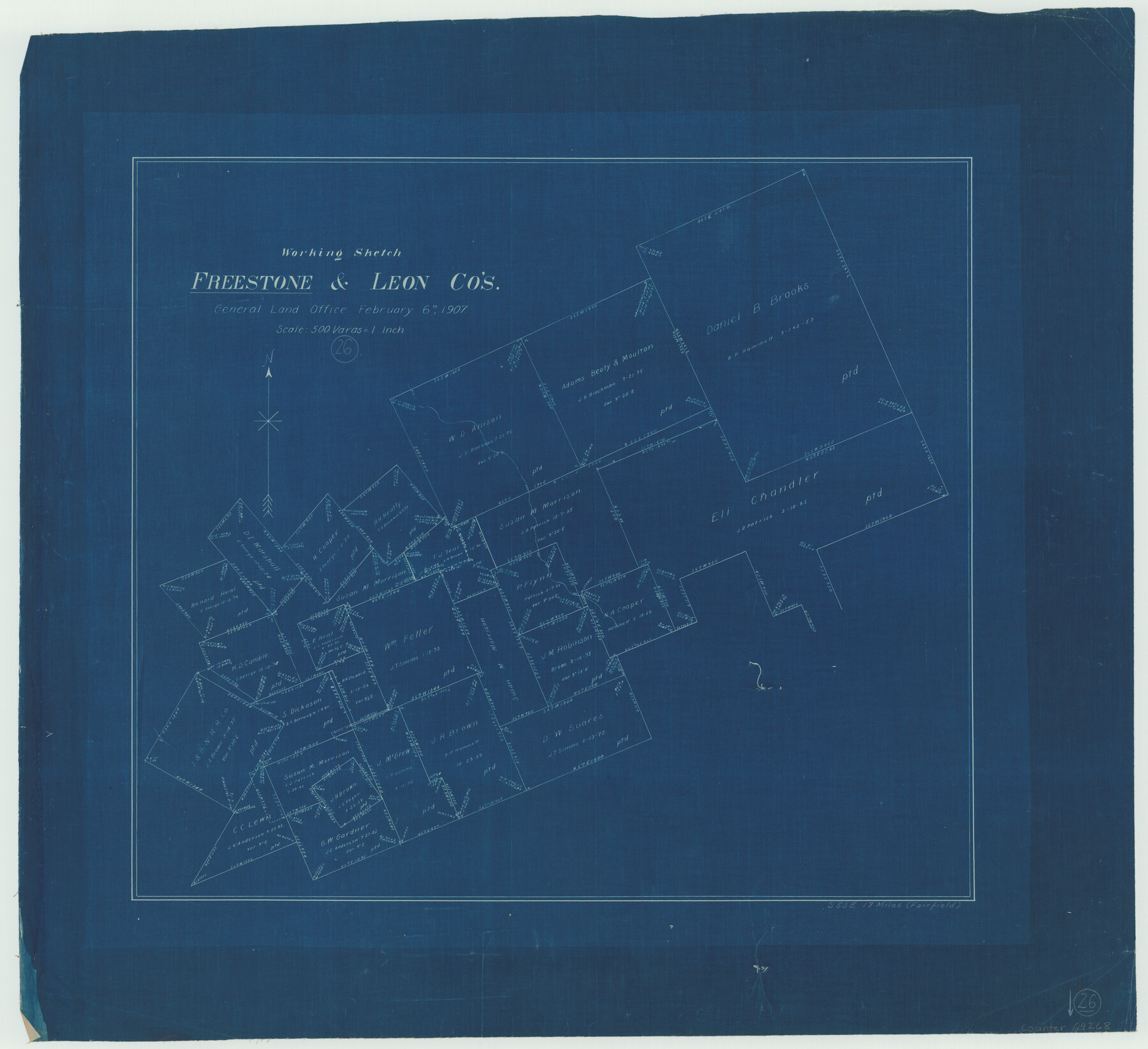
Freestone County Working Sketch 26
-
Map/Doc
69268
-
Collection
General Map Collection
-
Object Dates
2/6/1907 (Creation Date)
-
Counties
Freestone Leon
-
Subjects
Surveying Working Sketch
-
Height x Width
27.7 x 30.3 inches
70.4 x 77.0 cm
-
Scale
1" = 500 varas
Part of: General Map Collection
Fort Bend County

Print $20.00
- Digital $50.00
Fort Bend County
1865
Size 18.2 x 21.8 inches
Map/Doc 3550
Galveston County Sketch File 32

Print $20.00
- Digital $50.00
Galveston County Sketch File 32
1916
Size 15.2 x 34.3 inches
Map/Doc 11535
Flight Mission No. CUG-3P, Frame 94, Kleberg County

Print $20.00
- Digital $50.00
Flight Mission No. CUG-3P, Frame 94, Kleberg County
1956
Size 18.4 x 22.2 inches
Map/Doc 86264
Kleberg County Rolled Sketch 10-43

Print $20.00
- Digital $50.00
Kleberg County Rolled Sketch 10-43
1951
Size 37.2 x 34.9 inches
Map/Doc 9395
Lee County Working Sketch 7

Print $20.00
- Digital $50.00
Lee County Working Sketch 7
1977
Size 27.0 x 16.8 inches
Map/Doc 70386
Dickens County Sketch File G1

Print $20.00
- Digital $50.00
Dickens County Sketch File G1
1914
Size 22.0 x 18.0 inches
Map/Doc 11332
United States Gulf Coast - from Galveston to the Rio Grande

Print $20.00
- Digital $50.00
United States Gulf Coast - from Galveston to the Rio Grande
1915
Size 26.3 x 18.3 inches
Map/Doc 72731
Pecos County Sketch File 101

Print $40.00
- Digital $50.00
Pecos County Sketch File 101
1960
Size 15.6 x 11.7 inches
Map/Doc 34012
Gray County Boundary File 6

Print $6.00
- Digital $50.00
Gray County Boundary File 6
Size 10.9 x 7.3 inches
Map/Doc 53895
Tarrant County

Print $20.00
- Digital $50.00
Tarrant County
1883
Size 35.5 x 32.8 inches
Map/Doc 4676
Palo Pinto County Sketch File 2

Print $4.00
- Digital $50.00
Palo Pinto County Sketch File 2
1857
Size 8.2 x 10.3 inches
Map/Doc 33392
Angelina County Sketch File 12

Print $4.00
- Digital $50.00
Angelina County Sketch File 12
1860
Size 14.1 x 8.1 inches
Map/Doc 12955
You may also like

Presidio County Sketch File 38

Print $8.00
- Digital $50.00
Presidio County Sketch File 38
1911
Size 11.2 x 8.7 inches
Map/Doc 34508
Red River County Working Sketch 63

Print $20.00
- Digital $50.00
Red River County Working Sketch 63
1973
Size 43.6 x 37.0 inches
Map/Doc 72046
Edwards County Rolled Sketch 28

Print $20.00
- Digital $50.00
Edwards County Rolled Sketch 28
1950
Size 18.9 x 27.0 inches
Map/Doc 5814
Brazoria County Rolled Sketch 40

Print $20.00
- Digital $50.00
Brazoria County Rolled Sketch 40
1954
Size 32.1 x 21.5 inches
Map/Doc 5175
Flight Mission No. DQN-2K, Frame 97, Calhoun County

Print $20.00
- Digital $50.00
Flight Mission No. DQN-2K, Frame 97, Calhoun County
1953
Size 18.7 x 22.4 inches
Map/Doc 84287
Red River County Working Sketch 60

Print $20.00
- Digital $50.00
Red River County Working Sketch 60
1973
Size 27.1 x 40.0 inches
Map/Doc 72043
Map of Valley of Red River in Texas, Oklahoma, and Arkansas between Meridians 96 deg. 30 min. and 98 deg. West Longitude

Print $40.00
- Digital $50.00
Map of Valley of Red River in Texas, Oklahoma, and Arkansas between Meridians 96 deg. 30 min. and 98 deg. West Longitude
1920
Size 31.0 x 91.7 inches
Map/Doc 75252
Glasscock County Working Sketch 16

Print $40.00
- Digital $50.00
Glasscock County Working Sketch 16
1984
Size 61.2 x 44.0 inches
Map/Doc 63189
McCulloch County Working Sketch 19

Print $20.00
- Digital $50.00
McCulloch County Working Sketch 19
2010
Size 32.6 x 27.0 inches
Map/Doc 89260
Gillespie County Rolled Sketch 7

Print $20.00
- Digital $50.00
Gillespie County Rolled Sketch 7
2008
Size 18.9 x 18.8 inches
Map/Doc 88818
Lipscomb County Working Sketch Graphic Index

Print $20.00
- Digital $50.00
Lipscomb County Working Sketch Graphic Index
1899
Size 41.4 x 38.4 inches
Map/Doc 76622