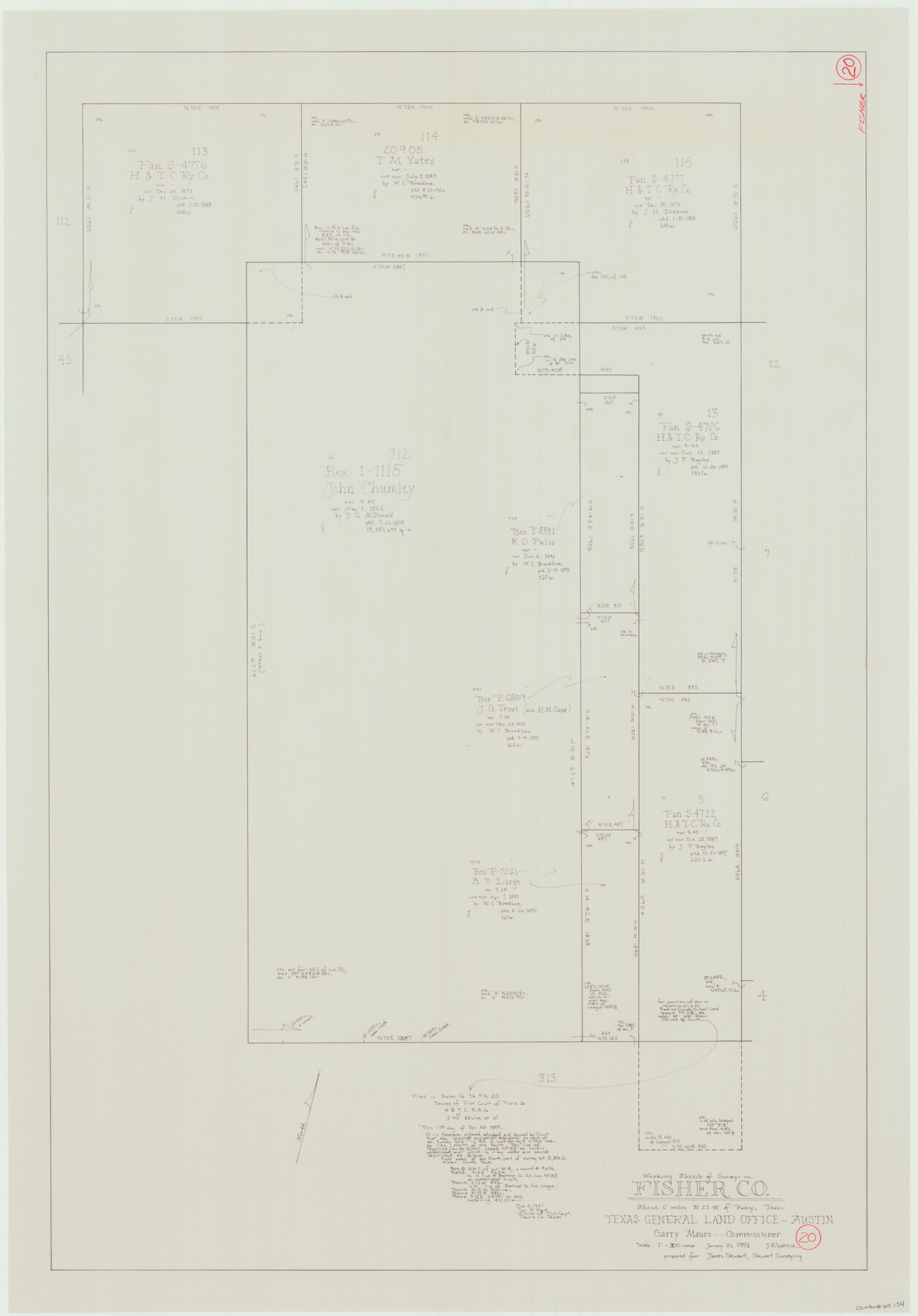
Fisher County Working Sketch 20
-
Map/Doc
69154
-
Collection
General Map Collection
-
Object Dates
1/21/1993 (Creation Date)
-
People and Organizations
Joan Kilpatrick (Draftsman)
-
Counties
Fisher
-
Subjects
Surveying Working Sketch
-
Height x Width
38.1 x 26.6 inches
96.8 x 67.6 cm
-
Scale
1" = 300 varas
Part of: General Map Collection
Hays County Sketch File 30

Print $12.00
- Digital $50.00
Hays County Sketch File 30
1938
Size 14.3 x 9.0 inches
Map/Doc 26255
Van Zandt County Sketch File 33

Print $8.00
- Digital $50.00
Van Zandt County Sketch File 33
1860
Size 12.4 x 7.8 inches
Map/Doc 39469
Kendall County Working Sketch 21

Print $20.00
- Digital $50.00
Kendall County Working Sketch 21
1970
Size 44.7 x 23.8 inches
Map/Doc 66693
Sterling County Working Sketch 8

Print $20.00
- Digital $50.00
Sterling County Working Sketch 8
1972
Size 40.7 x 35.9 inches
Map/Doc 63990
Hale County Sketch File 10

Print $6.00
- Digital $50.00
Hale County Sketch File 10
1895
Size 16.3 x 9.4 inches
Map/Doc 24737
Galveston County NRC Article 33.136 Sketch 30

Print $20.00
- Digital $50.00
Galveston County NRC Article 33.136 Sketch 30
2005
Size 12.1 x 15.5 inches
Map/Doc 82997
Anderson County

Print $20.00
- Digital $50.00
Anderson County
1871
Size 18.3 x 20.8 inches
Map/Doc 776
[T. & N. O. R.R. Jefferson Co. North]
![64055, [T. & N. O. R.R. Jefferson Co. North], General Map Collection](https://historictexasmaps.com/wmedia_w700/maps/64055.tif.jpg)
Print $20.00
- Digital $50.00
[T. & N. O. R.R. Jefferson Co. North]
Size 13.4 x 33.4 inches
Map/Doc 64055
Coke County Rolled Sketch 16A

Print $20.00
- Digital $50.00
Coke County Rolled Sketch 16A
Size 32.3 x 30.4 inches
Map/Doc 5518
Brewster County Sketch File 23

Print $12.00
- Digital $50.00
Brewster County Sketch File 23
1958
Size 11.3 x 8.7 inches
Map/Doc 15825
Floyd County Working Sketch 8

Print $20.00
- Digital $50.00
Floyd County Working Sketch 8
1931
Size 20.8 x 15.9 inches
Map/Doc 69187
Flight Mission No. CRK-7P, Frame 28, Refugio County

Print $20.00
- Digital $50.00
Flight Mission No. CRK-7P, Frame 28, Refugio County
1956
Size 18.4 x 22.1 inches
Map/Doc 86948
You may also like
Reagan County Rolled Sketch 26

Print $20.00
- Digital $50.00
Reagan County Rolled Sketch 26
1951
Size 32.7 x 42.7 inches
Map/Doc 9820
Fractional Township No. 9 South Range No. 8 East of the Indian Meridian, Indian Territory

Print $20.00
- Digital $50.00
Fractional Township No. 9 South Range No. 8 East of the Indian Meridian, Indian Territory
1898
Size 19.2 x 24.4 inches
Map/Doc 75215
Val Verde County Sketch File 46

Print $20.00
- Digital $50.00
Val Verde County Sketch File 46
1951
Size 18.9 x 22.6 inches
Map/Doc 12587
Liberty County Working Sketch 89

Print $20.00
- Digital $50.00
Liberty County Working Sketch 89
1993
Size 45.0 x 26.2 inches
Map/Doc 70549
Floyd County Sketch File 7

Print $4.00
- Digital $50.00
Floyd County Sketch File 7
Size 8.9 x 14.3 inches
Map/Doc 22697
Henderson County Sketch File 4

Print $4.00
- Digital $50.00
Henderson County Sketch File 4
1851
Size 12.9 x 8.3 inches
Map/Doc 26323
Culberson Co.

Print $40.00
- Digital $50.00
Culberson Co.
1908
Size 50.2 x 33.7 inches
Map/Doc 66795
Flight Mission No. CRC-4R, Frame 77, Chambers County

Print $20.00
- Digital $50.00
Flight Mission No. CRC-4R, Frame 77, Chambers County
1956
Size 18.9 x 22.5 inches
Map/Doc 84881
Guadalupe County Sketch File 19

Print $4.00
- Digital $50.00
Guadalupe County Sketch File 19
Size 14.3 x 8.7 inches
Map/Doc 24697
Real County Working Sketch 69

Print $20.00
- Digital $50.00
Real County Working Sketch 69
1942
Size 42.4 x 35.4 inches
Map/Doc 71961
[Sketch highlighting Bob Reid and Fred Turner surveys]
![91693, [Sketch highlighting Bob Reid and Fred Turner surveys], Twichell Survey Records](https://historictexasmaps.com/wmedia_w700/maps/91693-1.tif.jpg)
Print $20.00
- Digital $50.00
[Sketch highlighting Bob Reid and Fred Turner surveys]
Size 12.5 x 17.8 inches
Map/Doc 91693
Crockett County Sketch File KL

Print $20.00
- Digital $50.00
Crockett County Sketch File KL
1925
Size 30.0 x 28.7 inches
Map/Doc 11243