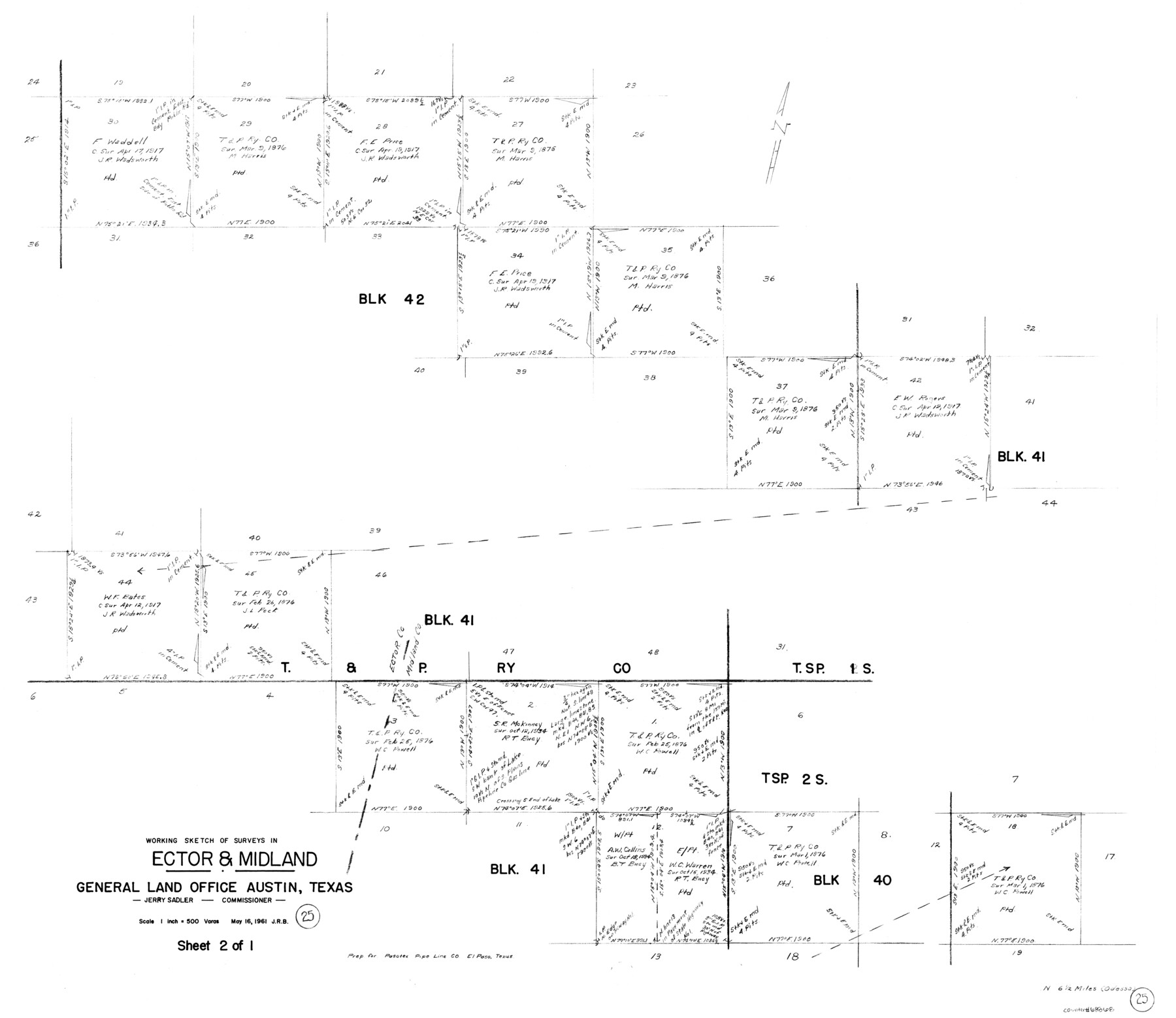
Ector County Working Sketch 25
-
Map/Doc
68868
-
Collection
General Map Collection
-
Object Dates
5/16/1961 (Creation Date)
-
Counties
Ector Midland
-
Subjects
Surveying Working Sketch
-
Height x Width
29.6 x 34.2 inches
75.2 x 86.9 cm
-
Scale
1" = 500 varas
Part of: General Map Collection
San Jacinto County Rolled Sketch 14

Print $20.00
- Digital $50.00
San Jacinto County Rolled Sketch 14
1998
Size 28.0 x 40.0 inches
Map/Doc 7565
Flight Mission No. CRK-5P, Frame 124, Refugio County

Print $20.00
- Digital $50.00
Flight Mission No. CRK-5P, Frame 124, Refugio County
1956
Size 18.7 x 22.5 inches
Map/Doc 86927
Falls County Sketch File 33

Print $4.00
- Digital $50.00
Falls County Sketch File 33
1873
Size 10.3 x 8.3 inches
Map/Doc 22441
Montague County Working Sketch 30

Print $20.00
- Digital $50.00
Montague County Working Sketch 30
1974
Size 22.7 x 23.3 inches
Map/Doc 71096
Presidio County Working Sketch Graphic Index, South Part, Sheet 2 (Sketches 45 to Most Recent)

Print $20.00
- Digital $50.00
Presidio County Working Sketch Graphic Index, South Part, Sheet 2 (Sketches 45 to Most Recent)
1975
Size 32.4 x 37.9 inches
Map/Doc 76671
Hudspeth County Sketch File 42

Print $12.00
- Digital $50.00
Hudspeth County Sketch File 42
1982
Size 14.2 x 8.7 inches
Map/Doc 27016
Hardin County Working Sketch 33

Print $20.00
- Digital $50.00
Hardin County Working Sketch 33
1979
Size 36.0 x 43.6 inches
Map/Doc 63431
Tarrant County Rolled Sketch 2

Print $40.00
- Digital $50.00
Tarrant County Rolled Sketch 2
Size 91.5 x 13.4 inches
Map/Doc 78246
University Land Field Notes for Block 35 in Crane and Ector Counties

University Land Field Notes for Block 35 in Crane and Ector Counties
Map/Doc 81714
Polk County Working Sketch 25

Print $20.00
- Digital $50.00
Polk County Working Sketch 25
1958
Size 34.6 x 29.0 inches
Map/Doc 71641
Aransas County Sketch File 6

Print $4.00
- Digital $50.00
Aransas County Sketch File 6
Size 8.2 x 10.7 inches
Map/Doc 13110
Flight Mission No. BRA-16M, Frame 75, Jefferson County

Print $20.00
- Digital $50.00
Flight Mission No. BRA-16M, Frame 75, Jefferson County
1953
Size 18.6 x 22.3 inches
Map/Doc 85692
You may also like
[Portion of sketch showing alleged vacancy]
![91953, [Portion of sketch showing alleged vacancy], Twichell Survey Records](https://historictexasmaps.com/wmedia_w700/maps/91953-1.tif.jpg)
Print $20.00
- Digital $50.00
[Portion of sketch showing alleged vacancy]
Size 18.9 x 24.4 inches
Map/Doc 91953

Wichita County Sketch File E

Print $40.00
- Digital $50.00
Wichita County Sketch File E
Size 14.2 x 15.6 inches
Map/Doc 40072
Harrison County Rolled Sketch 6

Print $20.00
- Digital $50.00
Harrison County Rolled Sketch 6
1952
Size 23.8 x 24.6 inches
Map/Doc 6151
Right of Way & Track Map San Antonio & Aransas Pass Railway Co.

Print $40.00
- Digital $50.00
Right of Way & Track Map San Antonio & Aransas Pass Railway Co.
1919
Size 24.8 x 55.8 inches
Map/Doc 64038
Amistad International Reservoir on Rio Grande 107

Print $20.00
- Digital $50.00
Amistad International Reservoir on Rio Grande 107
1950
Size 28.4 x 40.9 inches
Map/Doc 75538
[San Antonio & Aransas Pass]
![64208, [San Antonio & Aransas Pass], General Map Collection](https://historictexasmaps.com/wmedia_w700/maps/64208.tif.jpg)
Print $40.00
- Digital $50.00
[San Antonio & Aransas Pass]
Size 17.0 x 50.7 inches
Map/Doc 64208
Lubbock County Rolled Sketch 6

Print $20.00
- Digital $50.00
Lubbock County Rolled Sketch 6
1914
Size 26.0 x 24.1 inches
Map/Doc 6642
Flight Mission No. CRC-3R, Frame 52, Chambers County

Print $20.00
- Digital $50.00
Flight Mission No. CRC-3R, Frame 52, Chambers County
1956
Size 18.7 x 22.3 inches
Map/Doc 89041
Motley County Sketch File 7a (S)

Print $5.00
- Digital $50.00
Motley County Sketch File 7a (S)
1895
Size 9.6 x 8.8 inches
Map/Doc 32151
Llano County Working Sketch 10

Print $20.00
- Digital $50.00
Llano County Working Sketch 10
1980
Size 21.2 x 15.1 inches
Map/Doc 70628
Tyler County Sketch File 6-1

Print $6.00
- Digital $50.00
Tyler County Sketch File 6-1
1861
Size 13.3 x 9.3 inches
Map/Doc 38633